The Swiss Alpine Pass Route runs for 200 miles between Sargans and Montreux over 18 mountain passes. It is also called the Via Alpina 1 for the part between Sargans and Lenk.
My wife Jan and I walked it with 3 friends in two 8 day sections, the first from Grindelwald to Montreux in 2006 and the second in 2013 from Sargans to Grindelwald. Both trips were in Late August/early September.
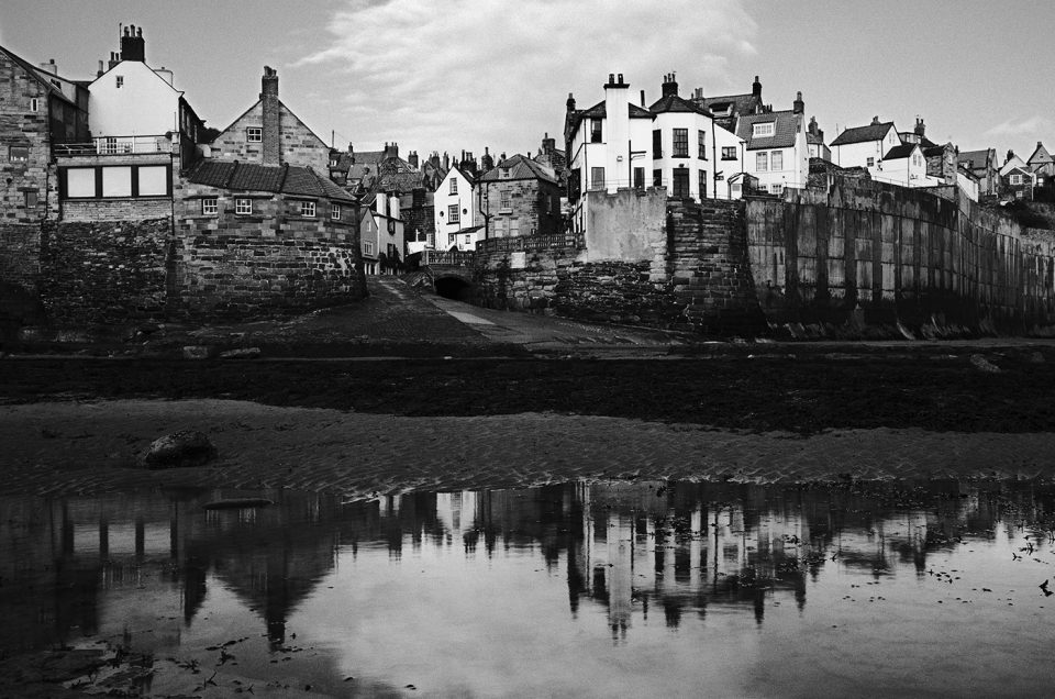
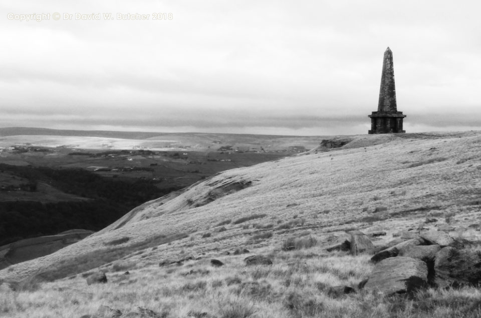
I wrote daily blog posts at the time and have combined these, illustrated with mobile phone pictures as well as the black and white photographs that I took on my Mamiya film cameras. There’s lots of other information there as well.
Here is the link to the new web page: Swiss Alpine Pass Route
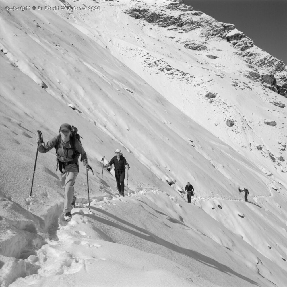
Ascent to Hohturli Pass between Golderli and Kandersteg on the Alpine Pass Route; negative 301202
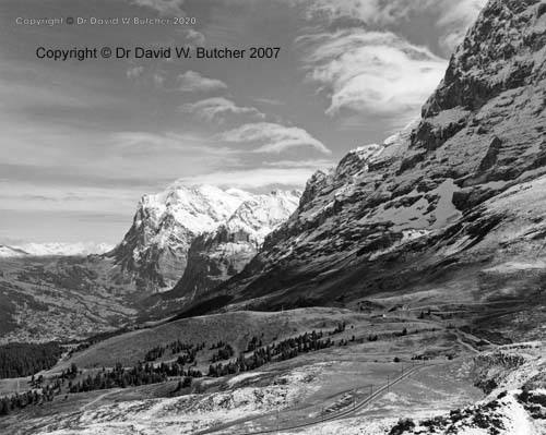
Wetterhorn from Kleine Scheidegg; negative 194113
Dave Butcher photographing Simmenfalle near Lenk-20060902
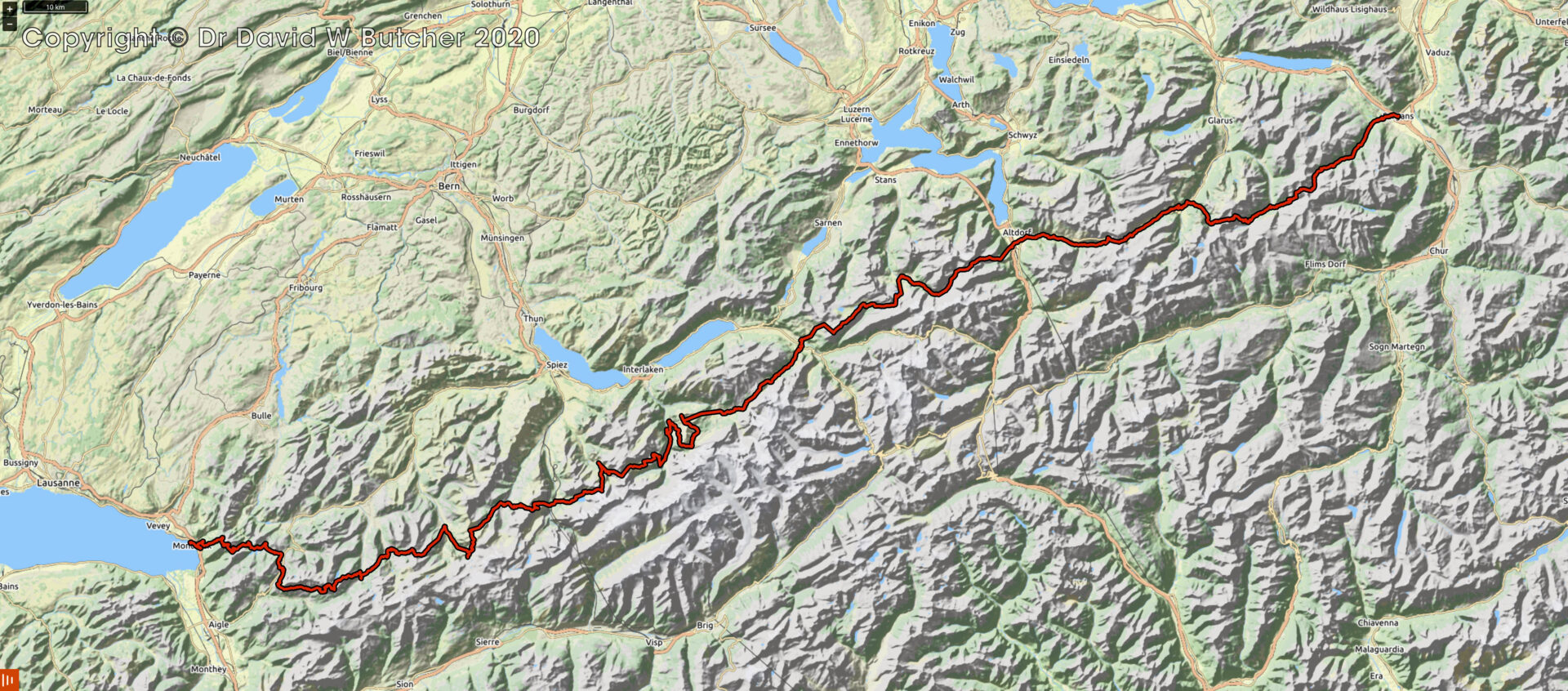
Swiss Alpine Pass Route Map
You might also like

 Get some free printing and developing tips, tutorials and information from the expert over at Darkroom Dave!