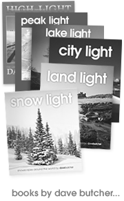
Description
The Peak District stretches from near Ashbourne in the South to near Holmfirth in the north, a distance of about 50 miles, and from Macclesfield in the West to Chesterfield in the East, about 30 miles.
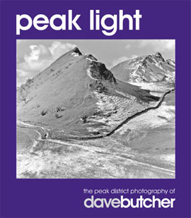
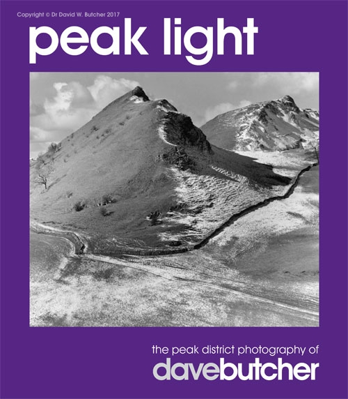
Peak Light is available at the reduced price of £12 while stocks last. The price includes UK shipping. There is a charge for shipping outside the UK. All copies ordered here are signed by the author.
Created in 1951, it was the first National Park in the UK and is, allegedly, the second most visited National Park in the world after Yellowstone in the USA – the reason for this being that it is surrounded by large towns and cities.
There are no soaring peaks like those in the Lake District, Snowdonia or the Scottish Highlands, but this is more than compensated by the varied countryside.
There are two distinct areas called White Peak (after the limestone dales in the south) and Dark Peak (peat bog country in the north and west) – and they are very different in character.
The Limestone dales are often steep-sided gorges, enclosing a fast running river or stream, with the odd peak, spire, cave and arch, often linked by wider areas of farmland and grazing. Between the dales is rolling grassy farmland divided by the ubiquitous dry stone walls with small copses of trees breaking the skyline at intervals. Dove Dale is probably the most famous of all of the Derbyshire Dales, but is just 2 or 3 miles of the 45 miles’ length of the River Dove, from its source on Axe Edge near Buxton. Each short section of Dale that it runs through has a different name.
Peat bog country, on the other hand, is more rolling, covered in brown peat, heather and tussocky grasses. The purple heather looks fantastic in late August in the sunshine. Once again, there are dry stone walls everywhere and streams and rivers that run pretty reliably, as might be expected in an area that receives up to 2 metres of rainfall a year.
The highest areas are here too, with the summit of Kinderscout at 636m (2087 ft) being the highest point in Derbyshire, although I use ‘summit’ in the broadest sense of the word: it really is not obvious when you reach the top of this immense peat bog area. This is also the location of the highest waterfall in Derbyshire, Kinder Downfall at 30m (100 ft). This dries up in the summer as the River Kinder is absorbed by the peat before it reaches the falls.
Peak Light is roughly arranged geographically from south to north. The position of each location is shown on the map on page 4 and this, together with the caption for each picture, will help you to follow in my footsteps.
The photographs concentrate on the landscapes rather than the many villages and even with this focus, space limitations may mean I have still omitted some places that you would have liked to be included.
Since 1988, I have lived in the small village of Tunstead Milton, between Whaley Bridge and Chapel-en-le-Frith, towards the north of the Peak District. The immediate area is great for solitary walking since it is not as visited as some in the Peaks, although the scenery is just as spectacular to my eyes.
I hope these images of the Peak District will inspire you, as much as it does me, to visit and enjoy the area in all of its varied seasons.
Dave Butcher
If you want to find a copy through secondhand bookshops quote: ISBN 978-009555627-0-9
Flick through a few pages of Peak Light:
To help you decide here are some reviews from various publications.



 Get some free printing and developing tips, tutorials and information from the expert over at Darkroom Dave!