Introduction and Travel
I completed the Pennine Way in 16 days in 1974 so we were starting on the 50th anniversary of this!
Last time I backpacked the whole way with 2 friends but this time I was hiking with good friend Al from Gloucester who hasn’t walked the Pennine Way before. We were also using Brigantes luggage transfer so we just needed light day sacks. We’ve used Brigantes many times before as they are very reliable. We were staying in pubs and hotels, so luxury compared to last time.
2024 is the first of 3 parts over a total of 21 days, so a bit more leisurely than last time:
2024: Kirk Yetholm to Alston 6 days
2025: Alston to Horton-in-Ribblesdale 8 days
2026: Horton-in-Ribblesdale to Edale, just a few miles from where I live, 7 days
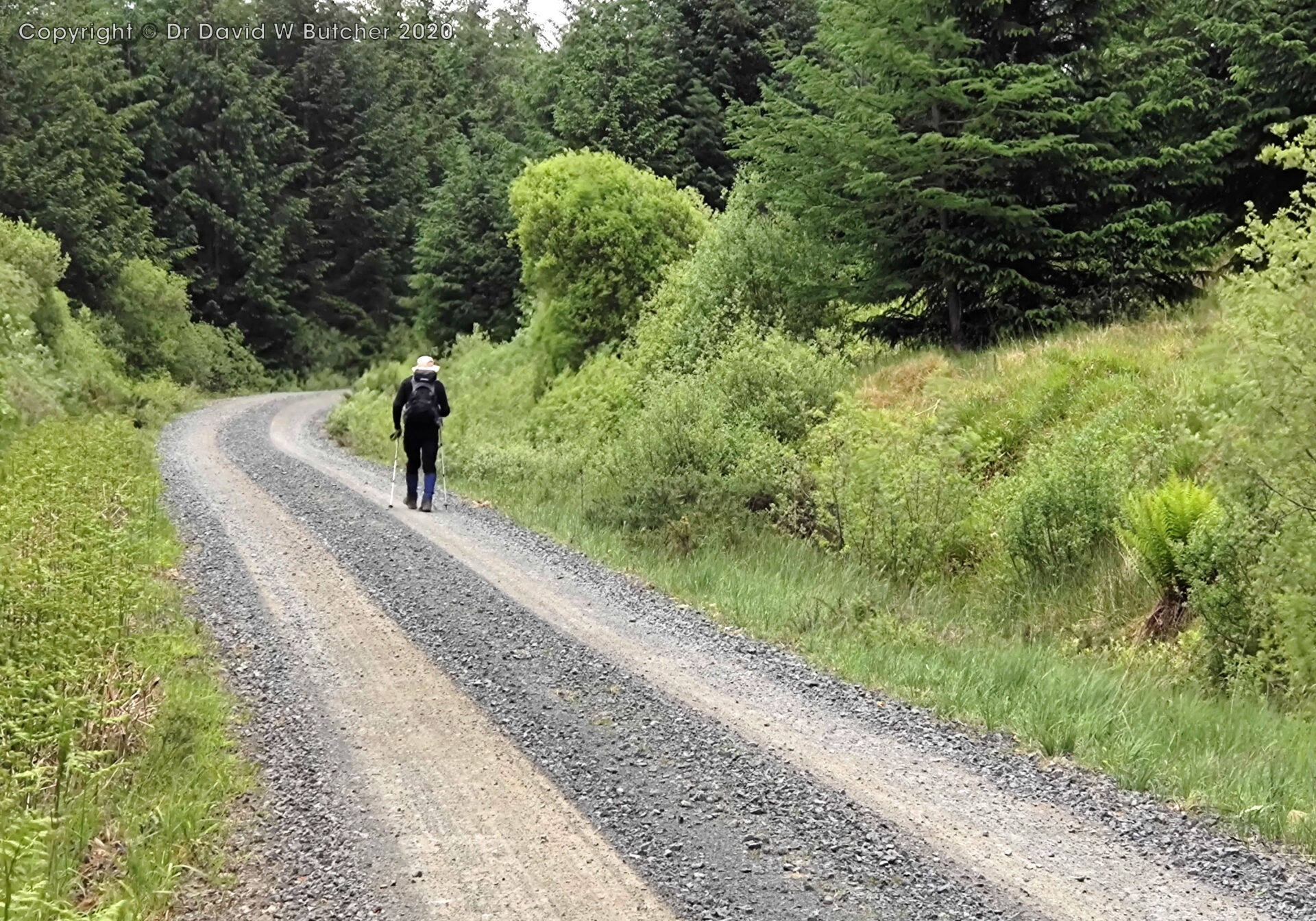
I made a note of some places of mileages and times through each day but this was weather dependent to a certain extent. Rain stopped me doing this at times. Our usual walking pace is around 2.5 mph on hills, maybe around 3 mph on roads and 2 mph or so on steeper uphill slopes. Stops for photos and note taking are not included in these speeds.
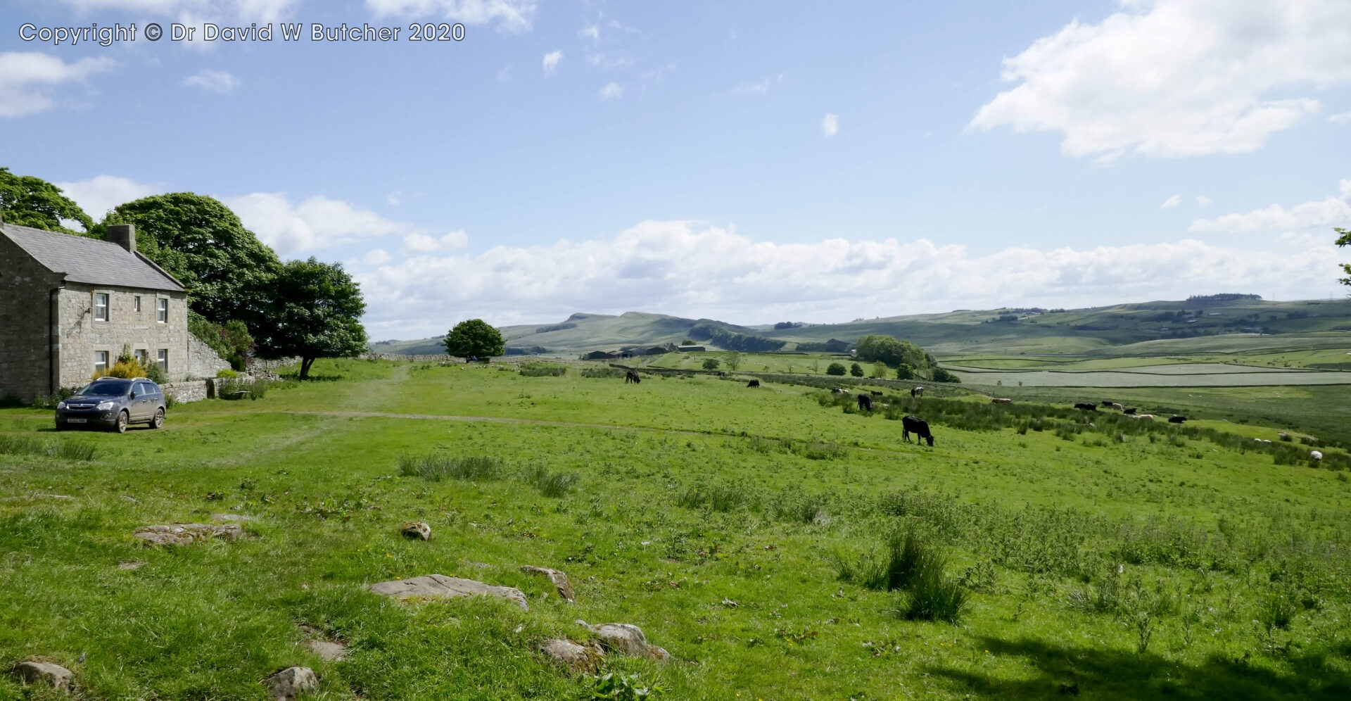
We drove up on Monday 3rd June. Al followed my wife Jan and I in his car and dropped it off in Alston at the Alston House Hotel car park, as pre-arranged.
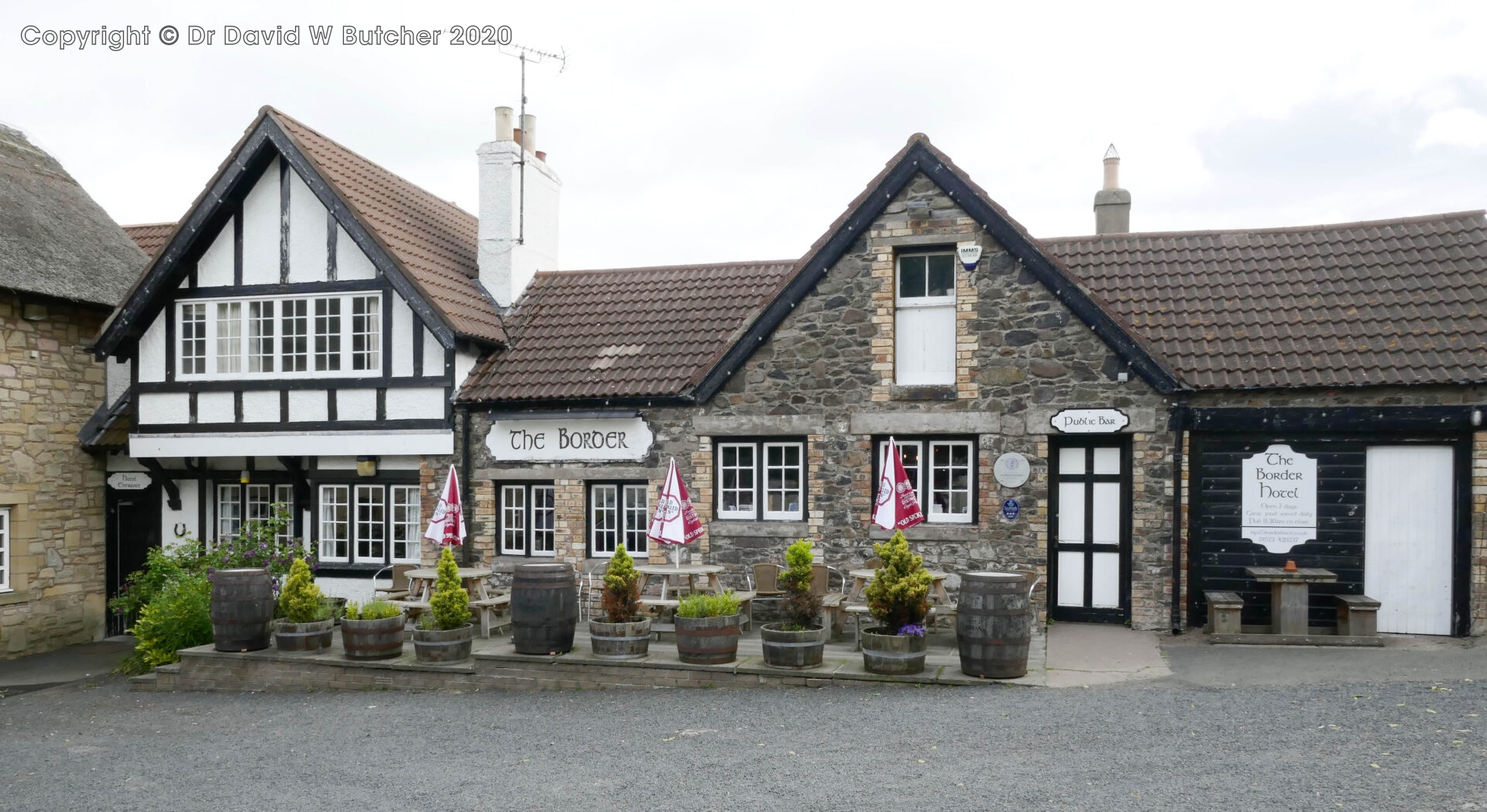
We had a stroll to stretch our legs after nearly 3 hours in the car and found a cafe in the square for a tea break. My wife Jan then drove all 3 of us the last 2 hours to Kirk Yetholm where we stayed in the Border Hotel. It was about 220 miles from home in Tunstead Milton.
The Border Hotel is usually the end of the Pennine Way for most people but for us it was going to be the start as we made our way from north to south. It’s about an 8 mile walk from home to Edale so I know the southern end quite well but haven’t walked the northern stretch since completing the Pennine Way 50 years ago. I managed to persuade Al to start in the north so that I could be in unfamiliar territory to see how much I remembered after 50 years.
Most of the days we will walk from north to south but for logistical reasons a few will be walked from the south going north. The first day is an example of this so that we are dropped off in the wilds of Cocklawfoot rather than finishing there and expecting my wife to wait until we turn up. Walking into the bar at the Border Hotel seemed a much better end to the day!
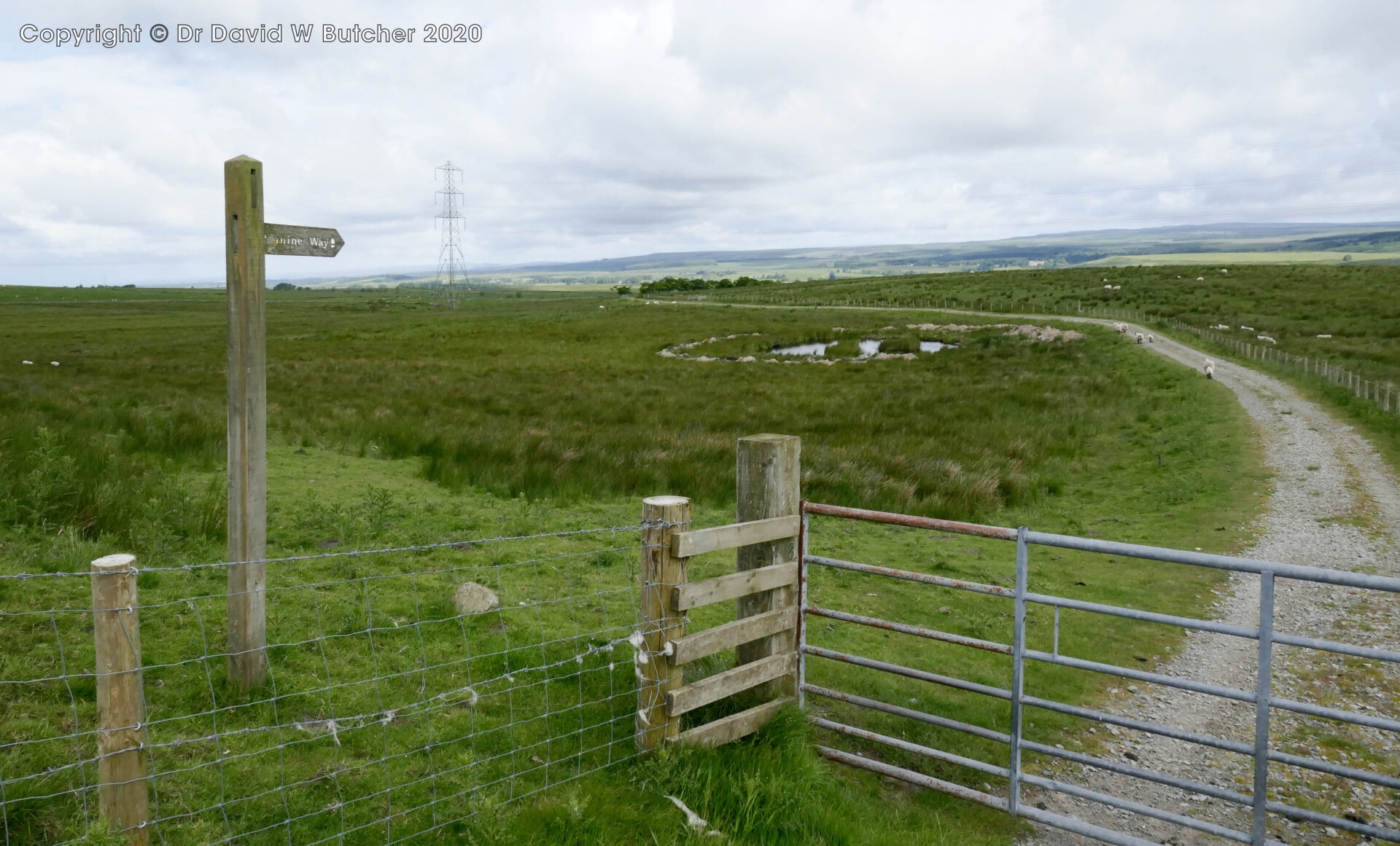
Tuesday 4th June 2024 Cocklawfoot to Kirk Yetholm
Day 1 14.6 miles 7 hours
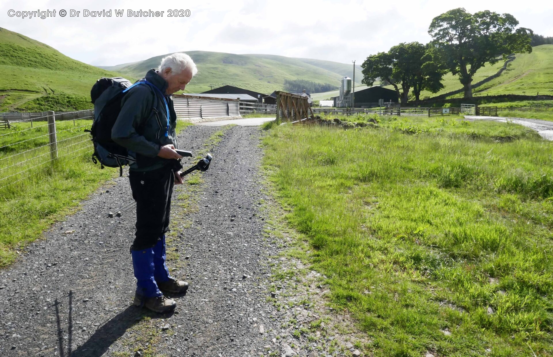
Jan drove us to the start of today’s walk at Sourhope, near Cocklawfoot.
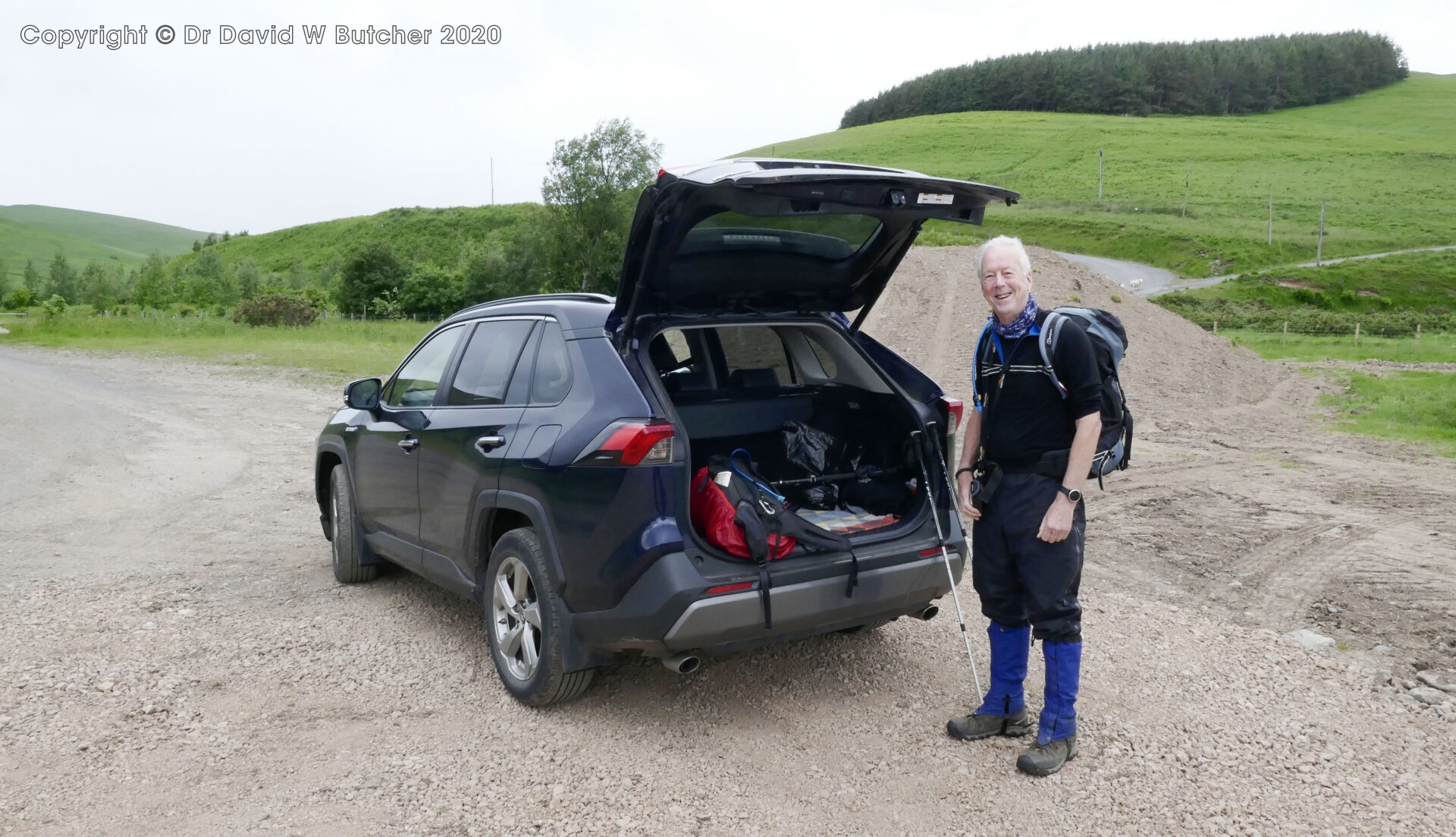
Jan dropped Al and I off a mile before Cocklawfoot, we crossed the bridge over the stream and walked along the road to Cocklawfoot Farm and the track up the hill.
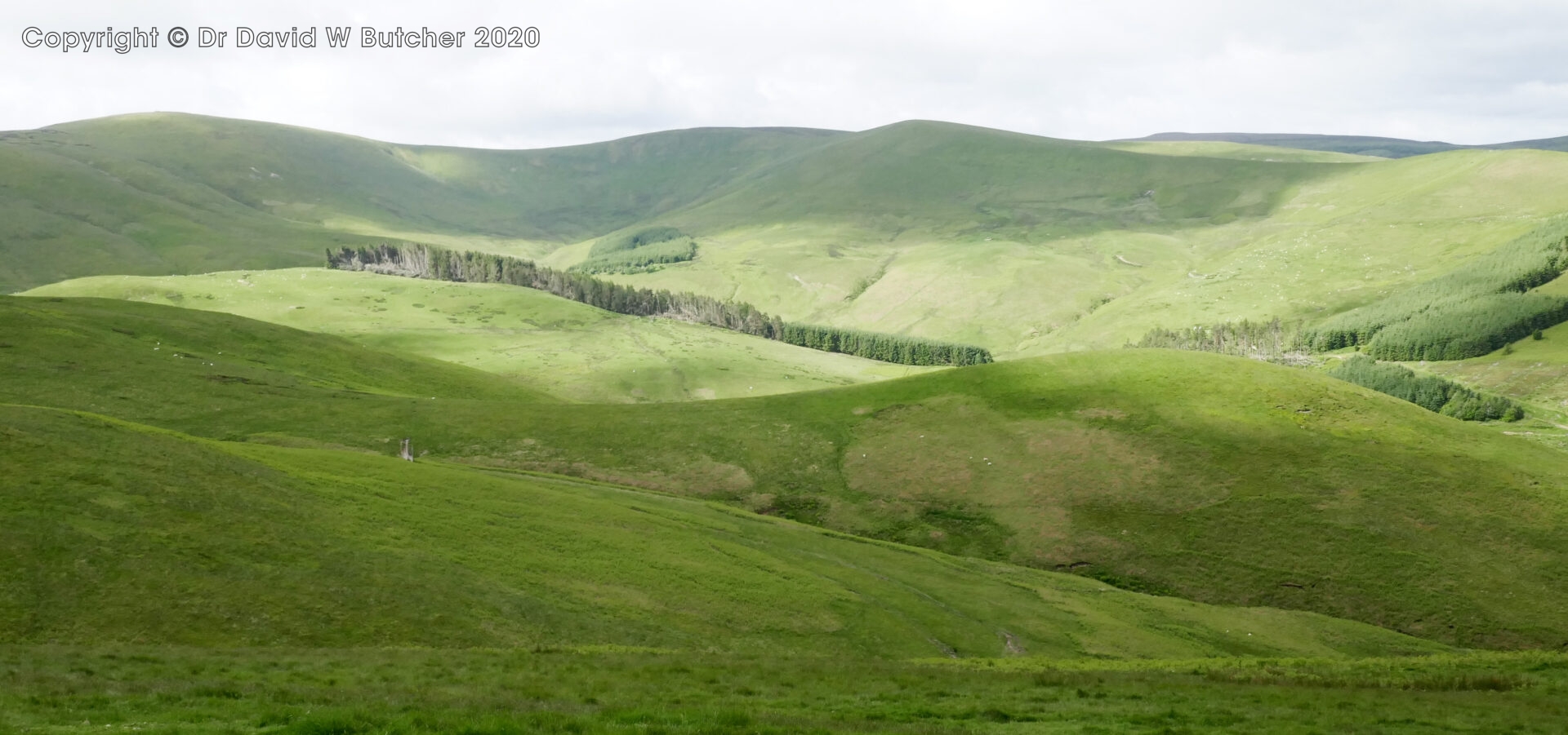
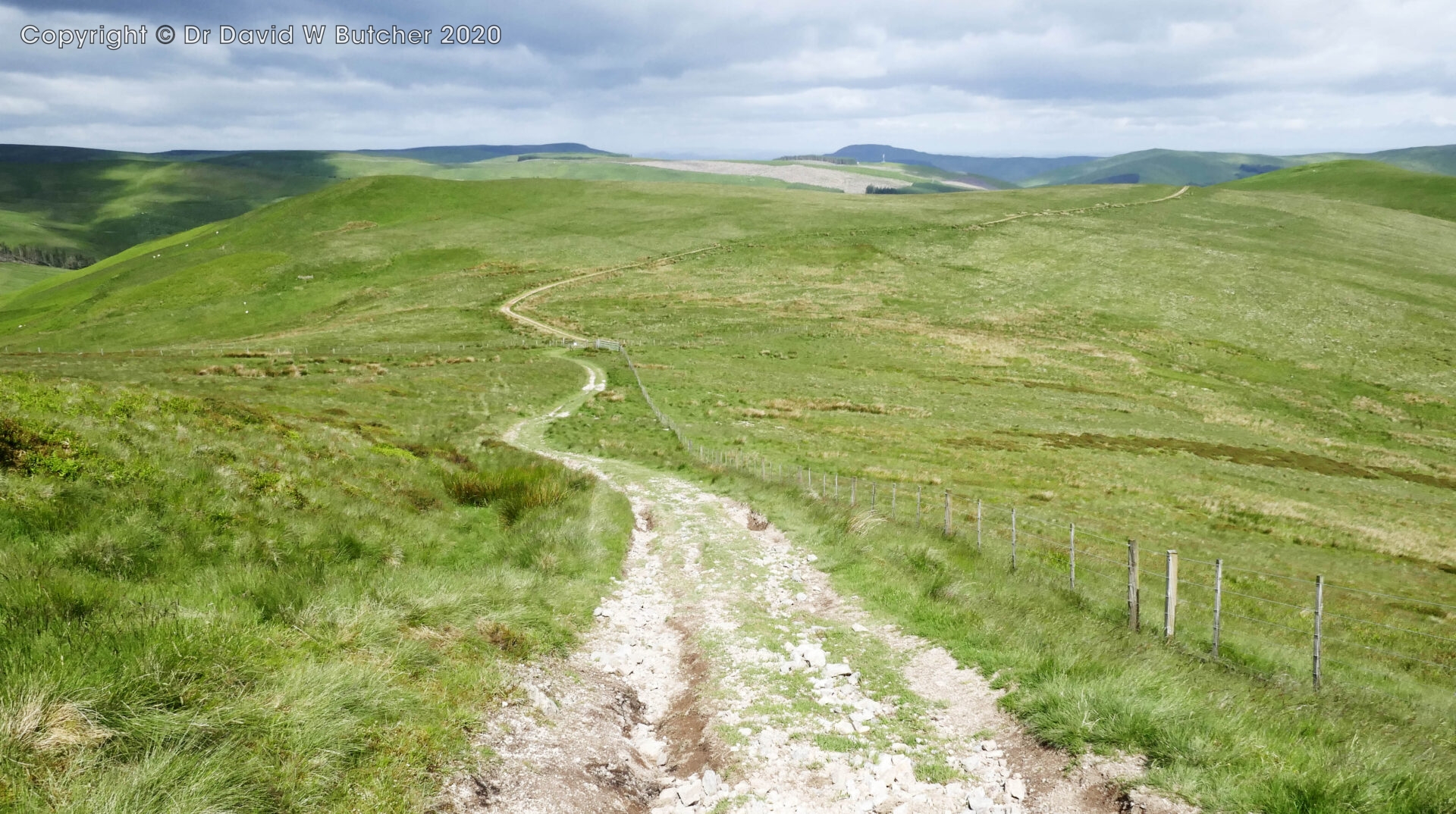
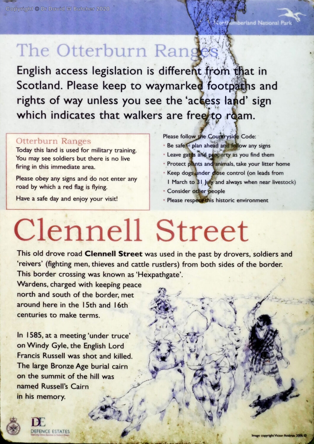
The track was actually a major route over the ridge in days past called Clennell Street, an old trading route between Morpeth and Kelso.
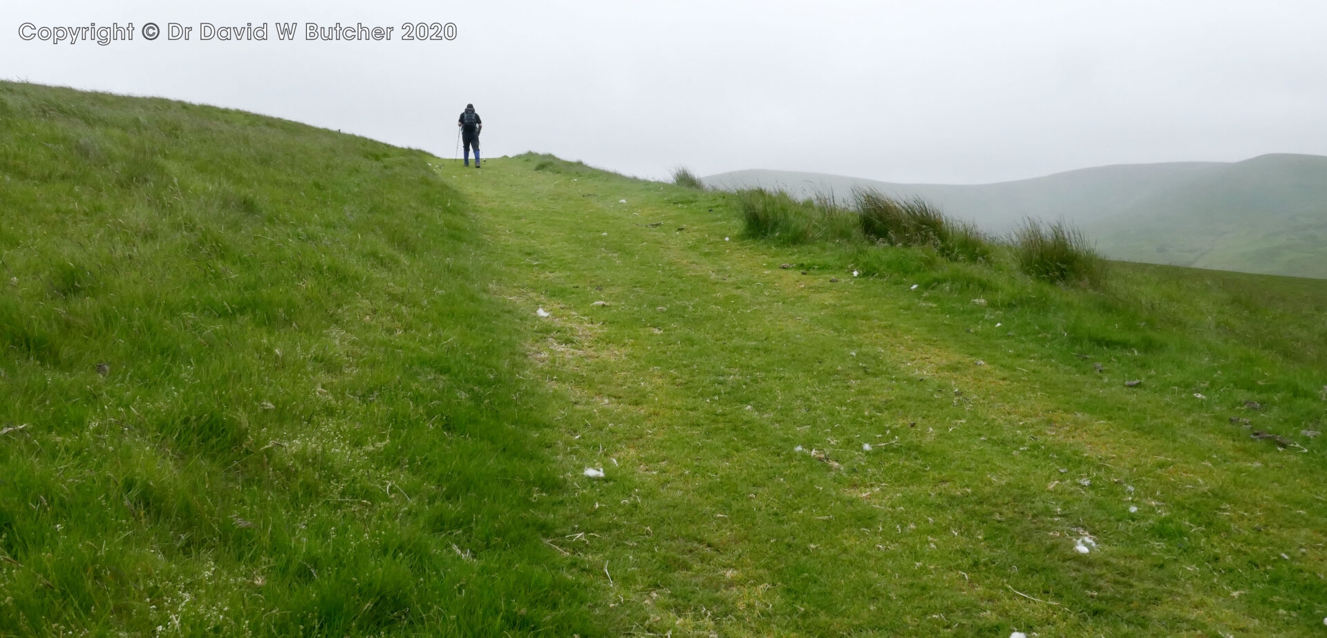
It was 3.4 miles from Sourhope to reach the ridge at 11.05am and about an hour from Cocklawfoot Farm. It was noticeably windy here, we were obviously sheltered on the way up.
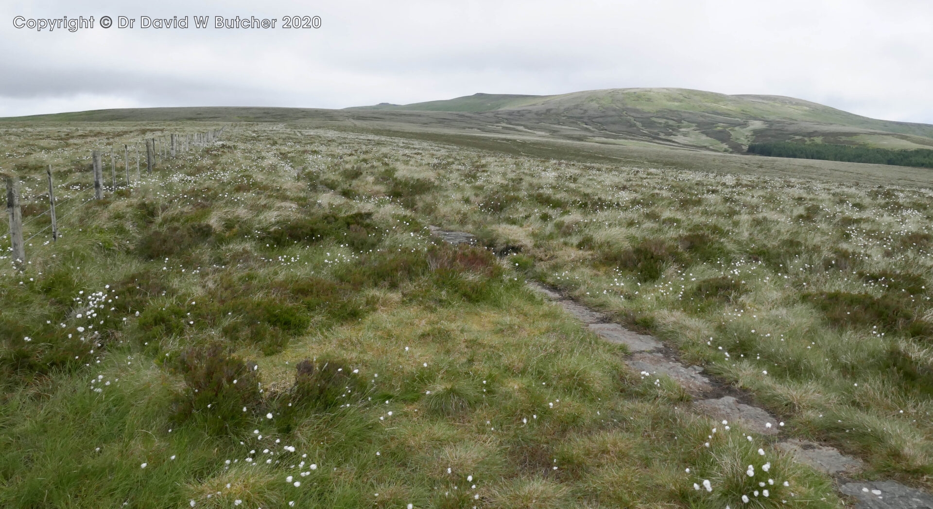
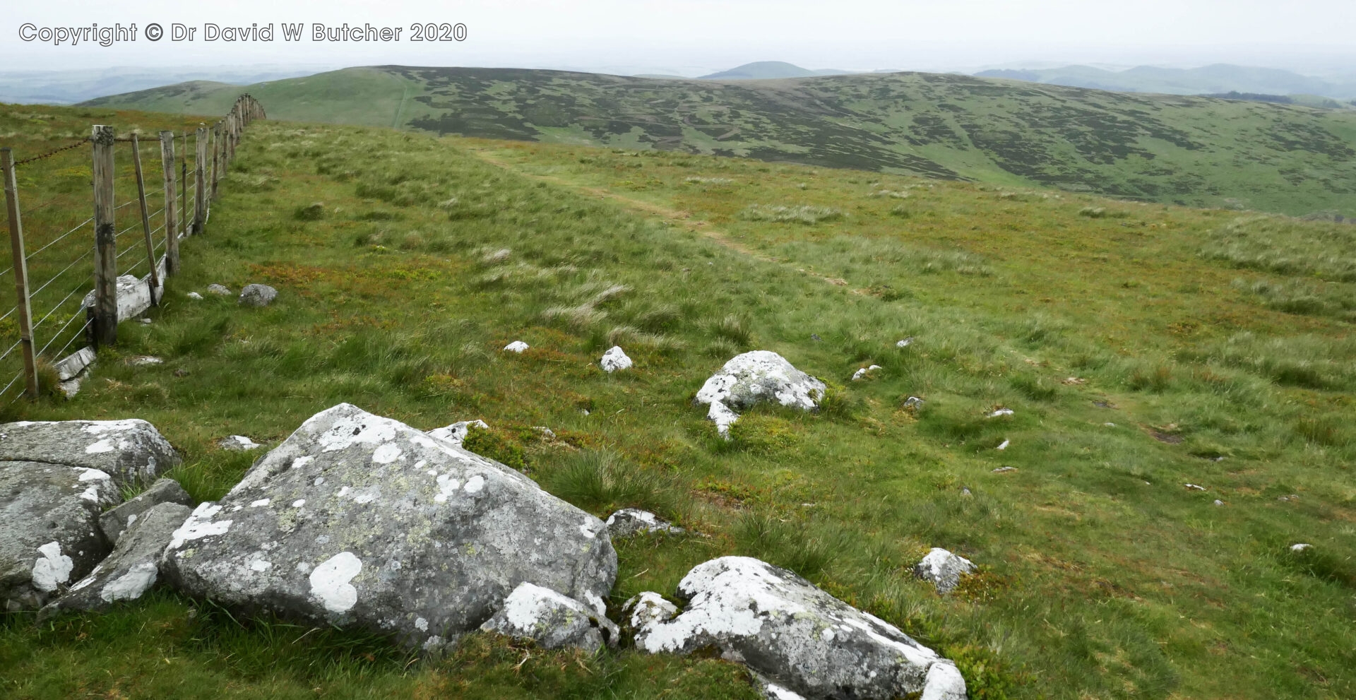
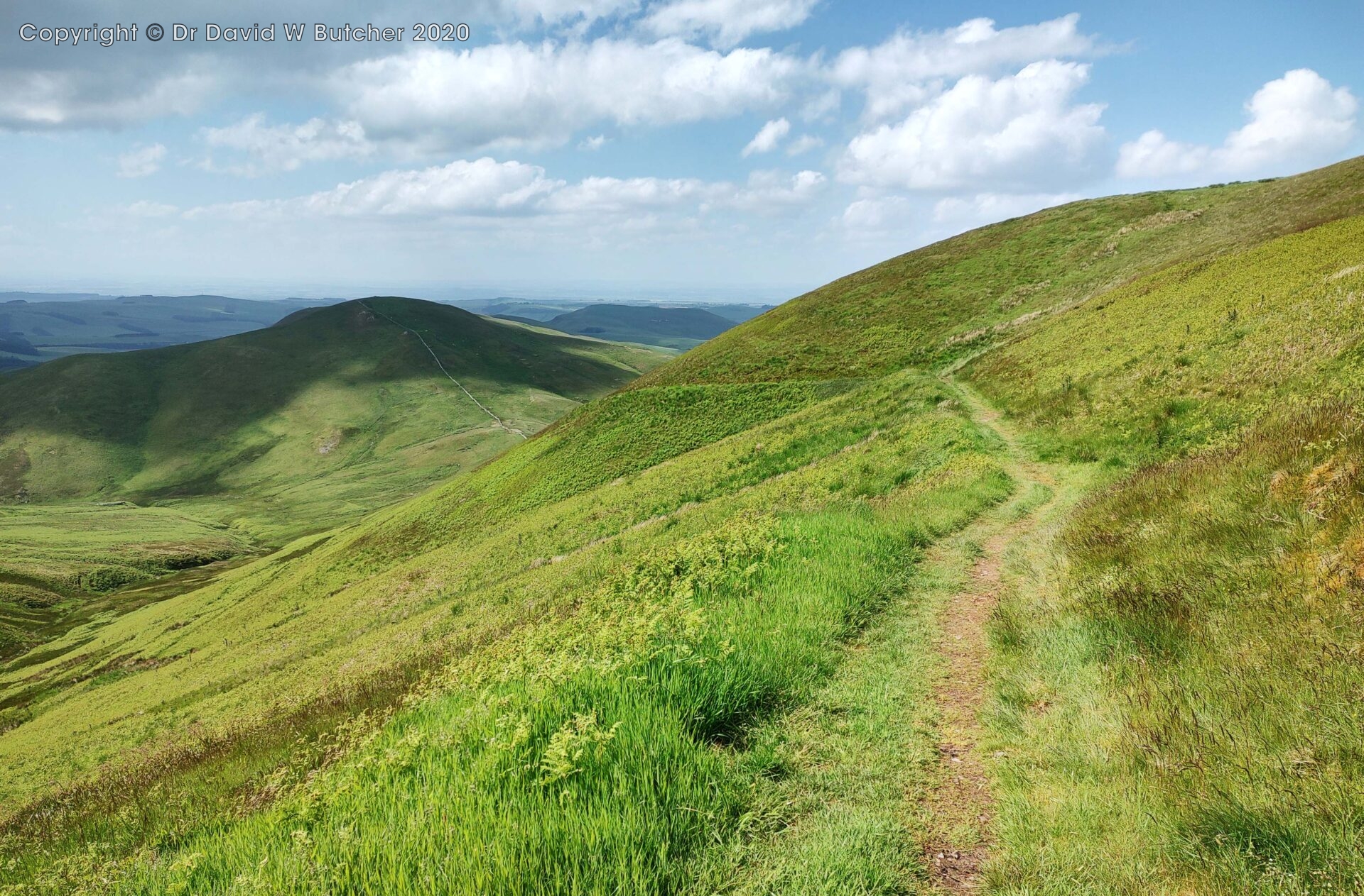
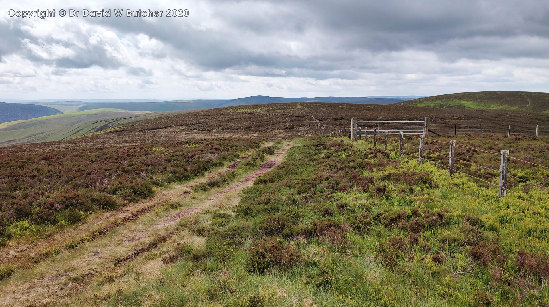
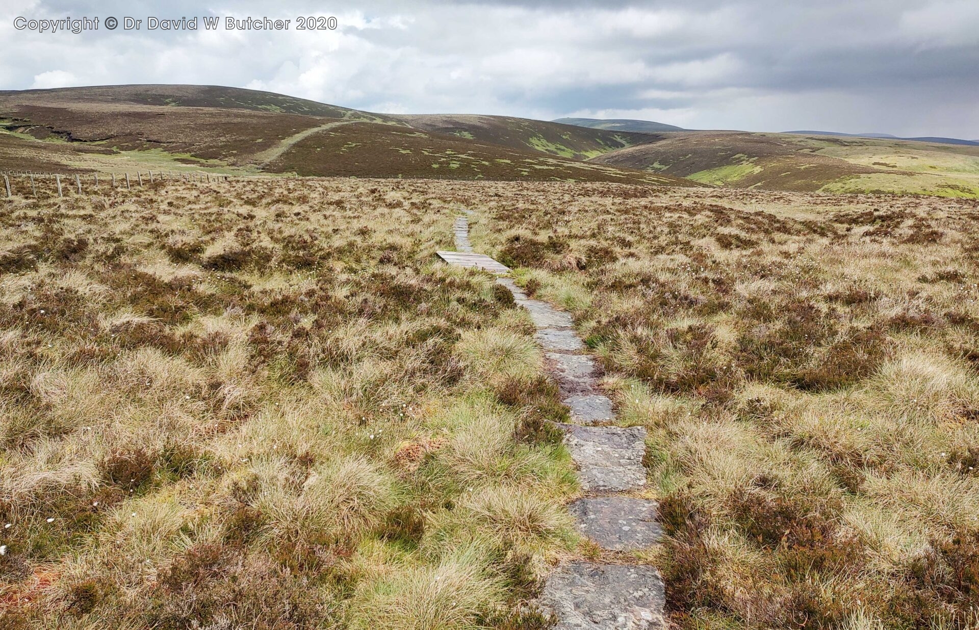
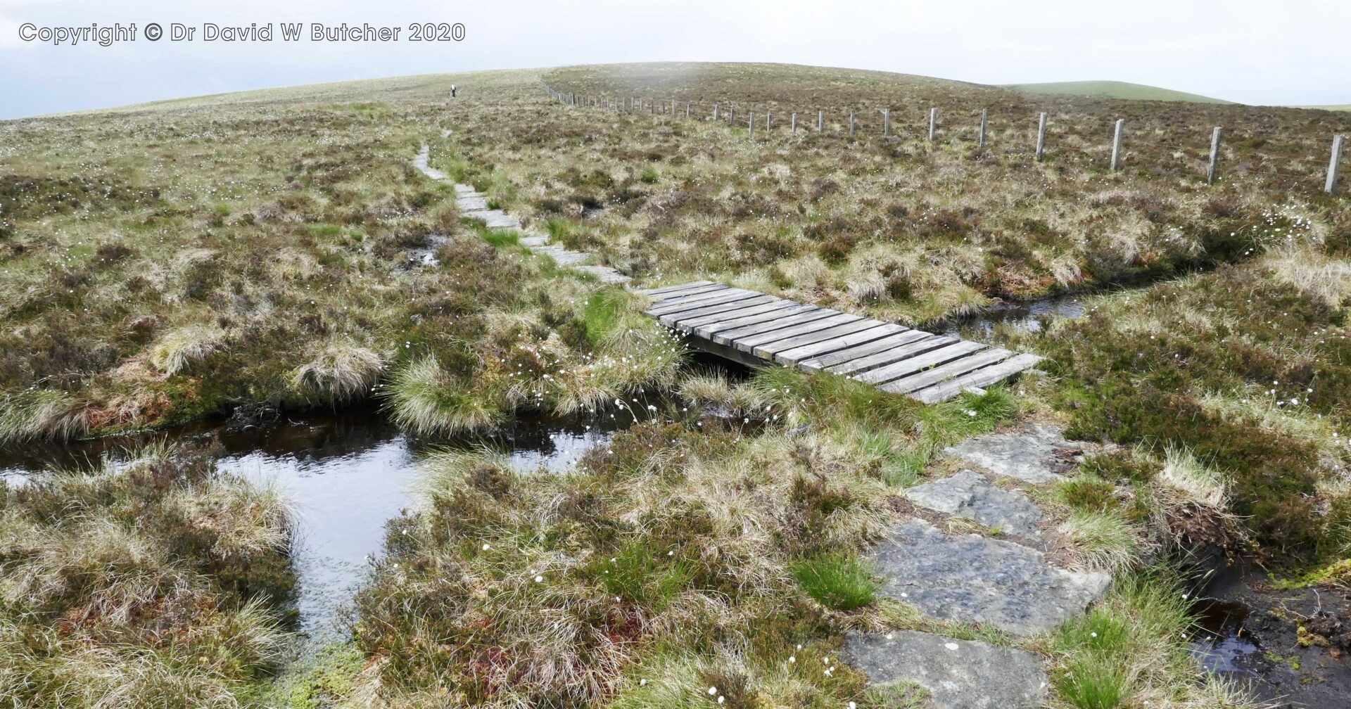
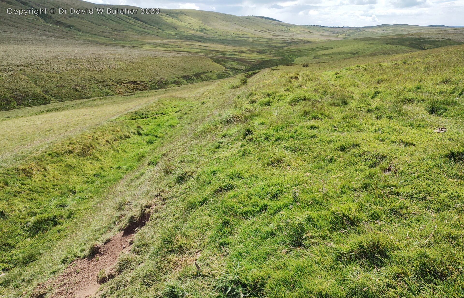
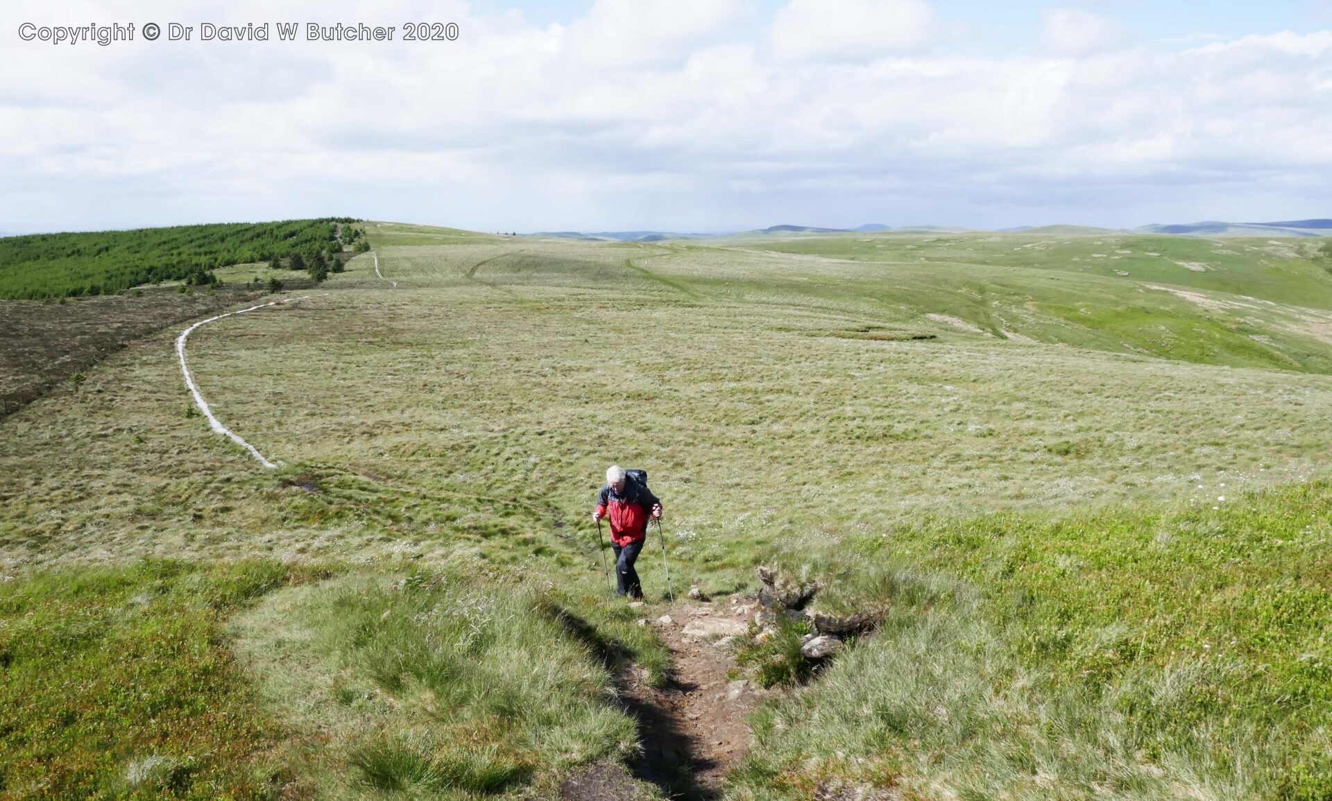
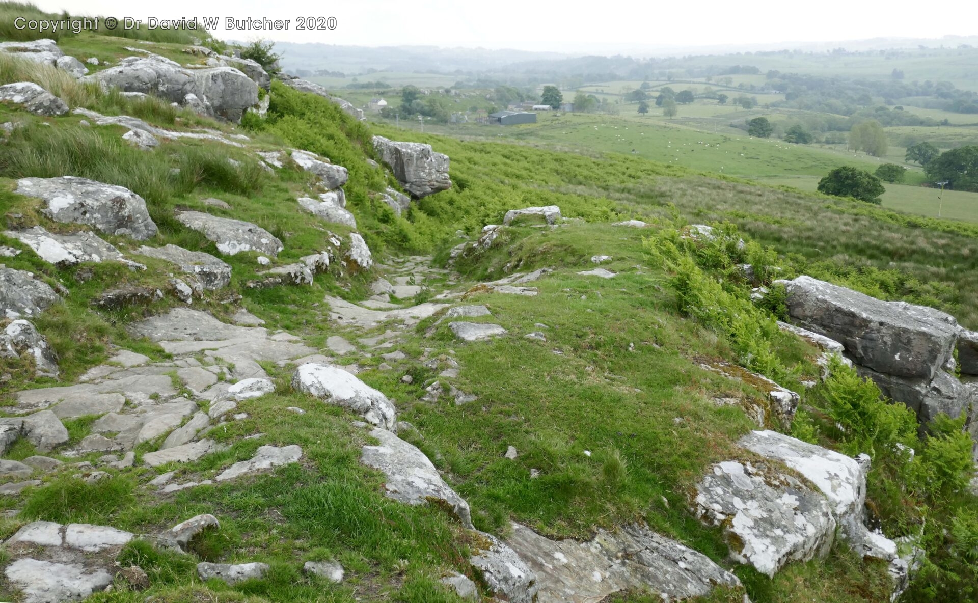
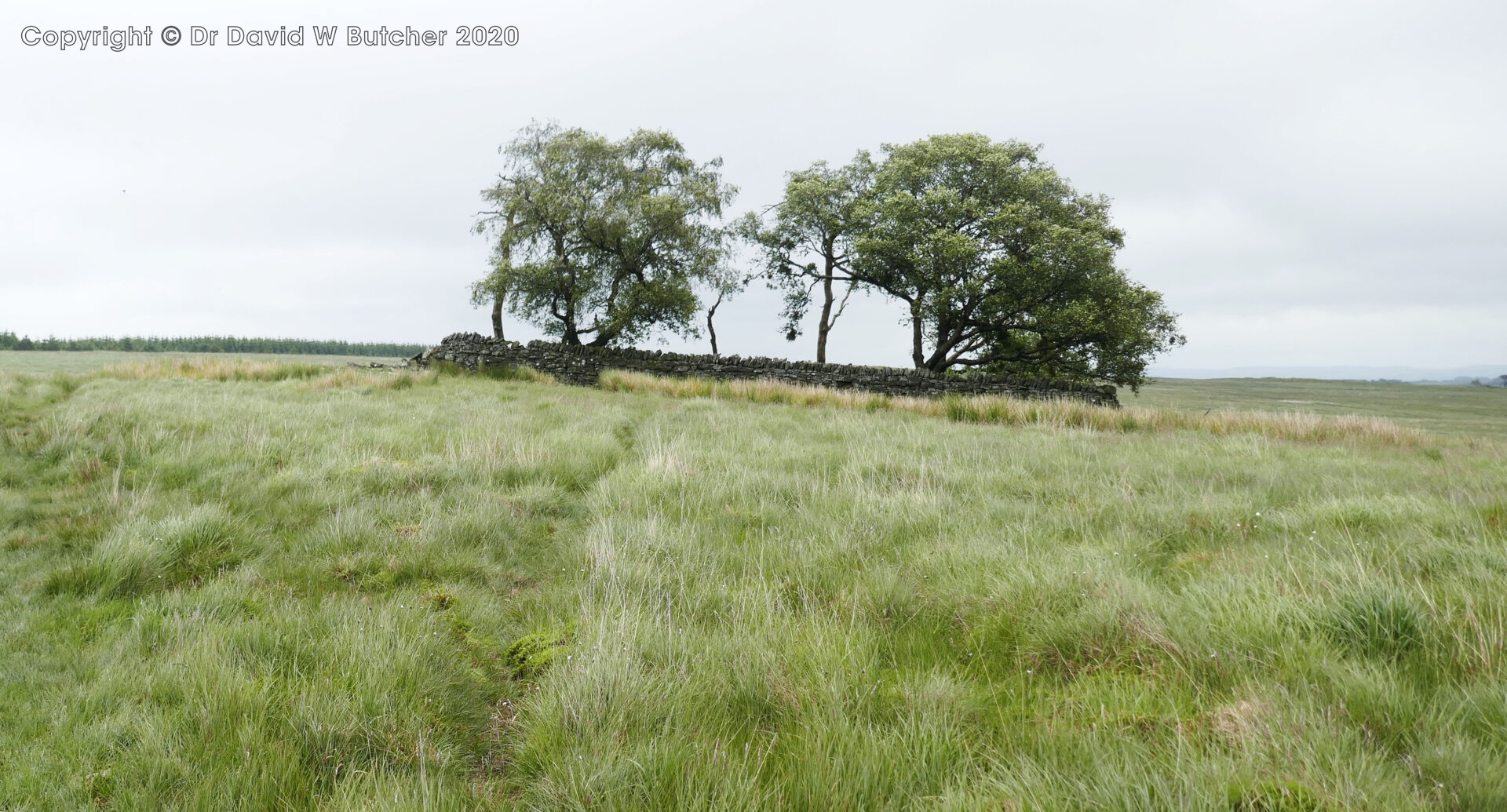
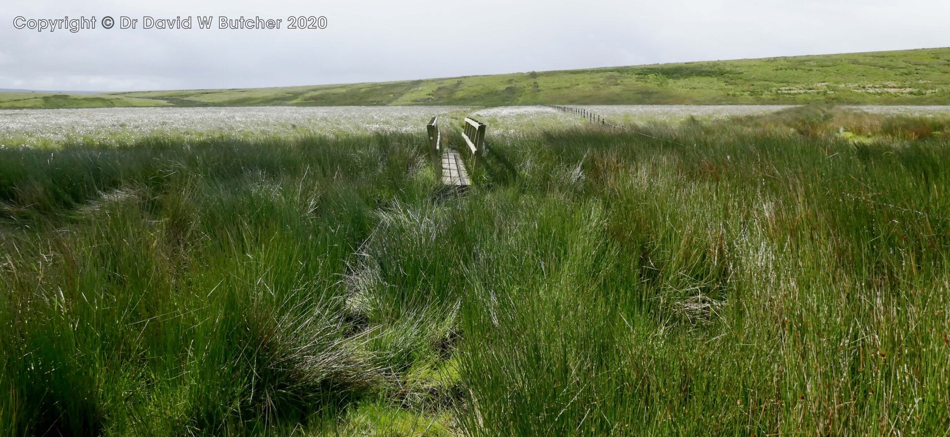
Then it was along a well slabbed path over the peaty landscape, so different to the miles of deep peat bog I struggled through in 1974. Kings Seat was quickly reached before heavy rain started at 11.45am.
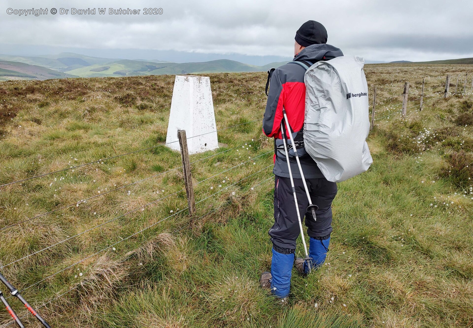
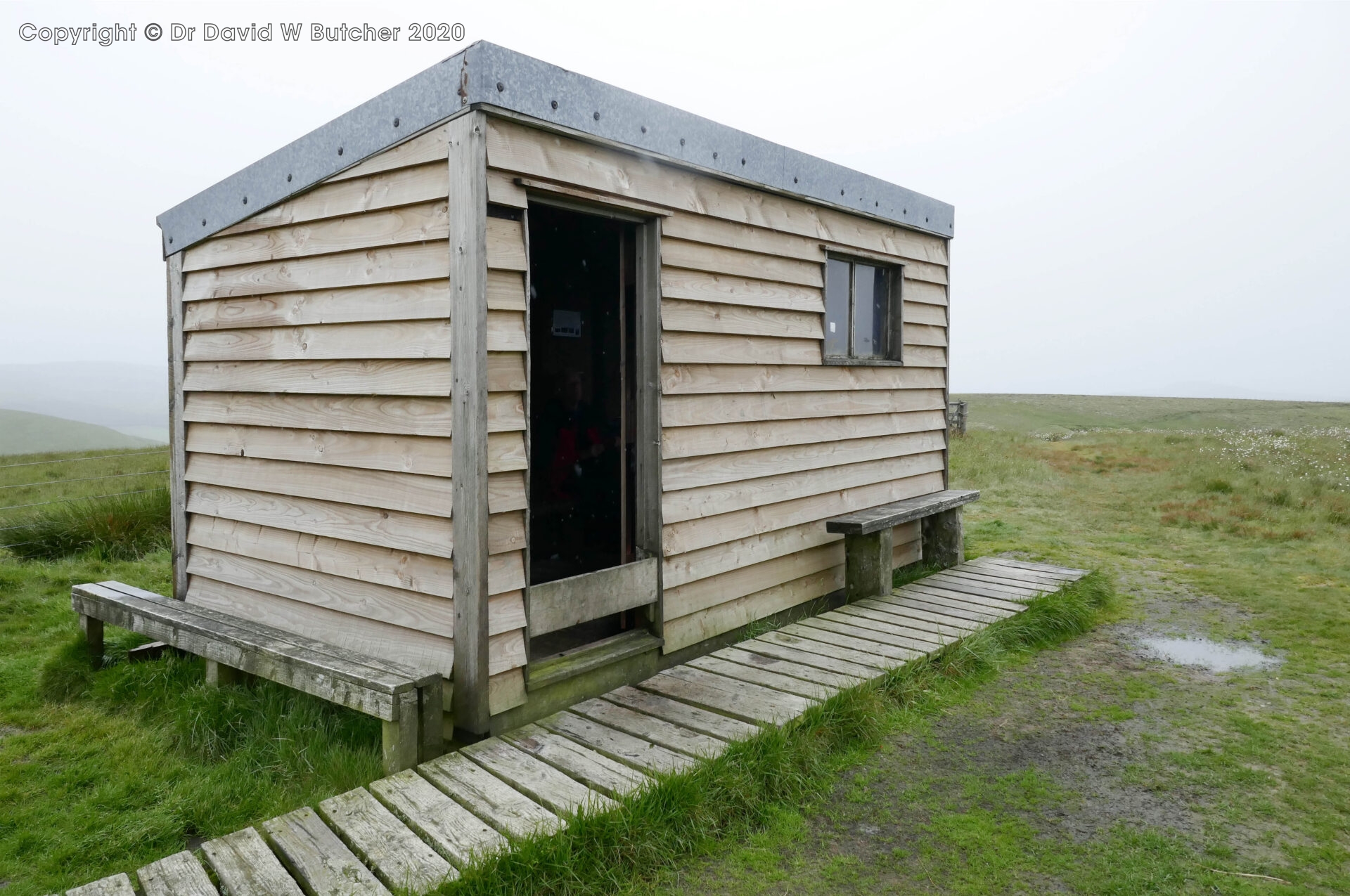
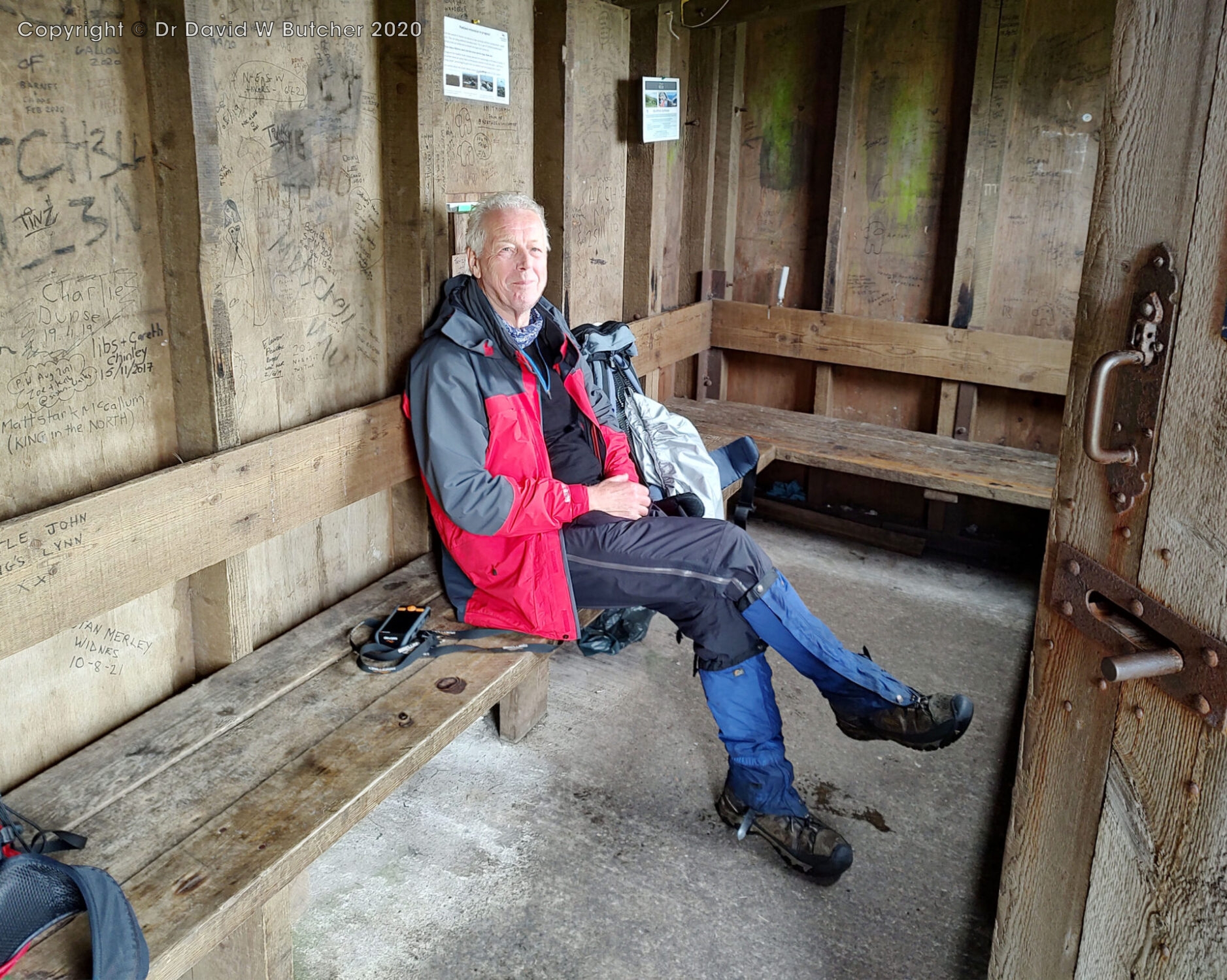
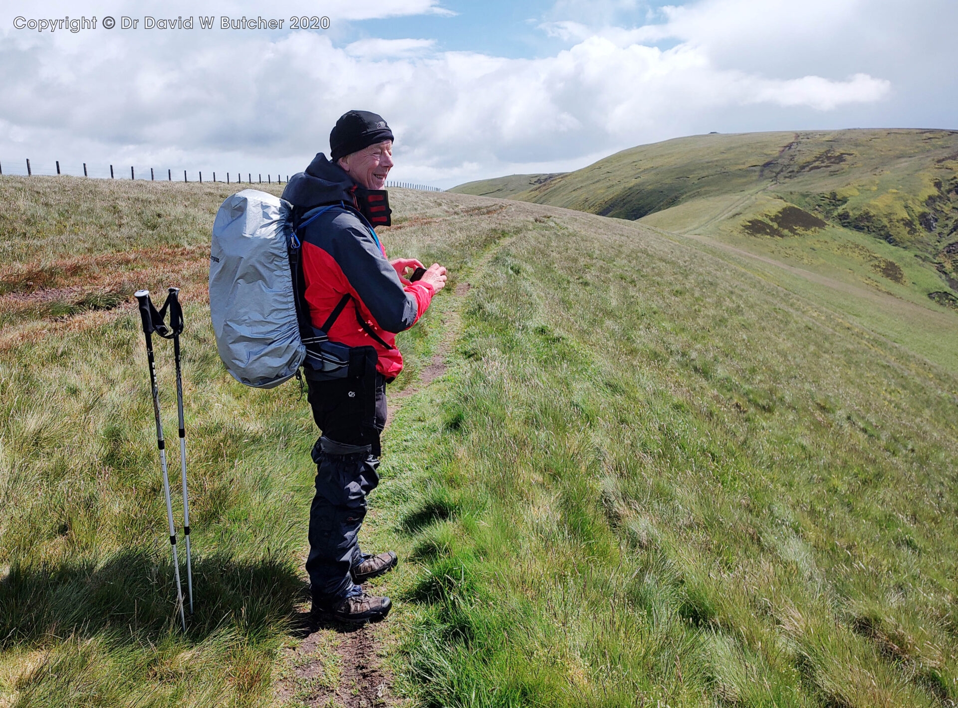
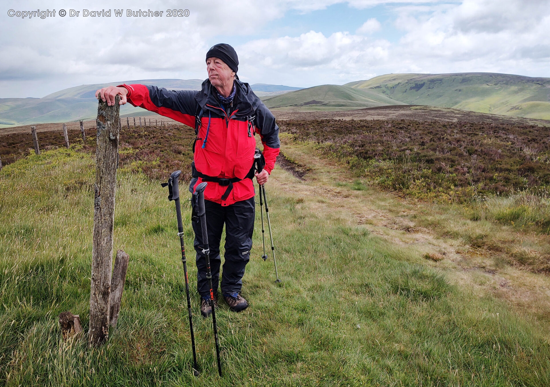
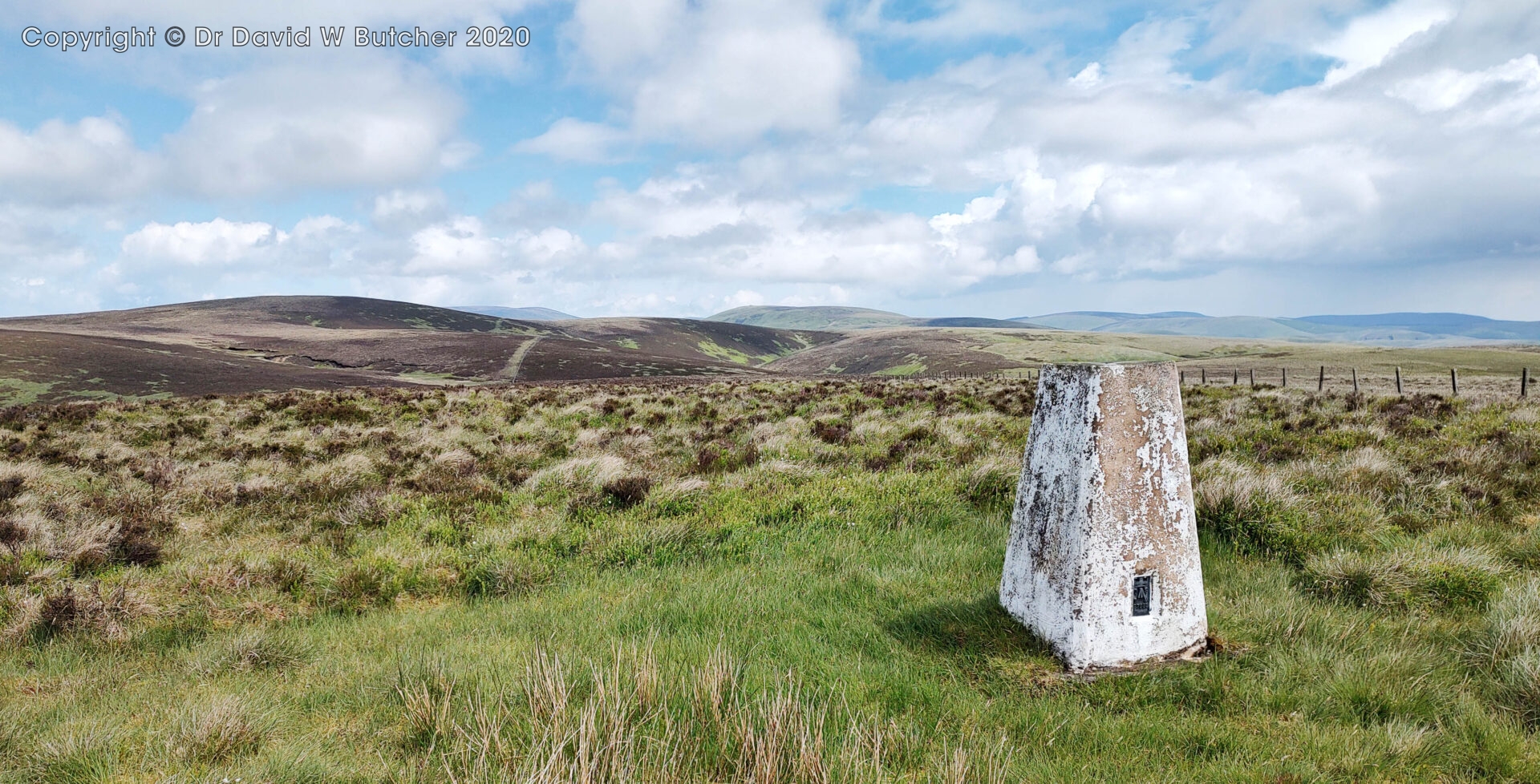
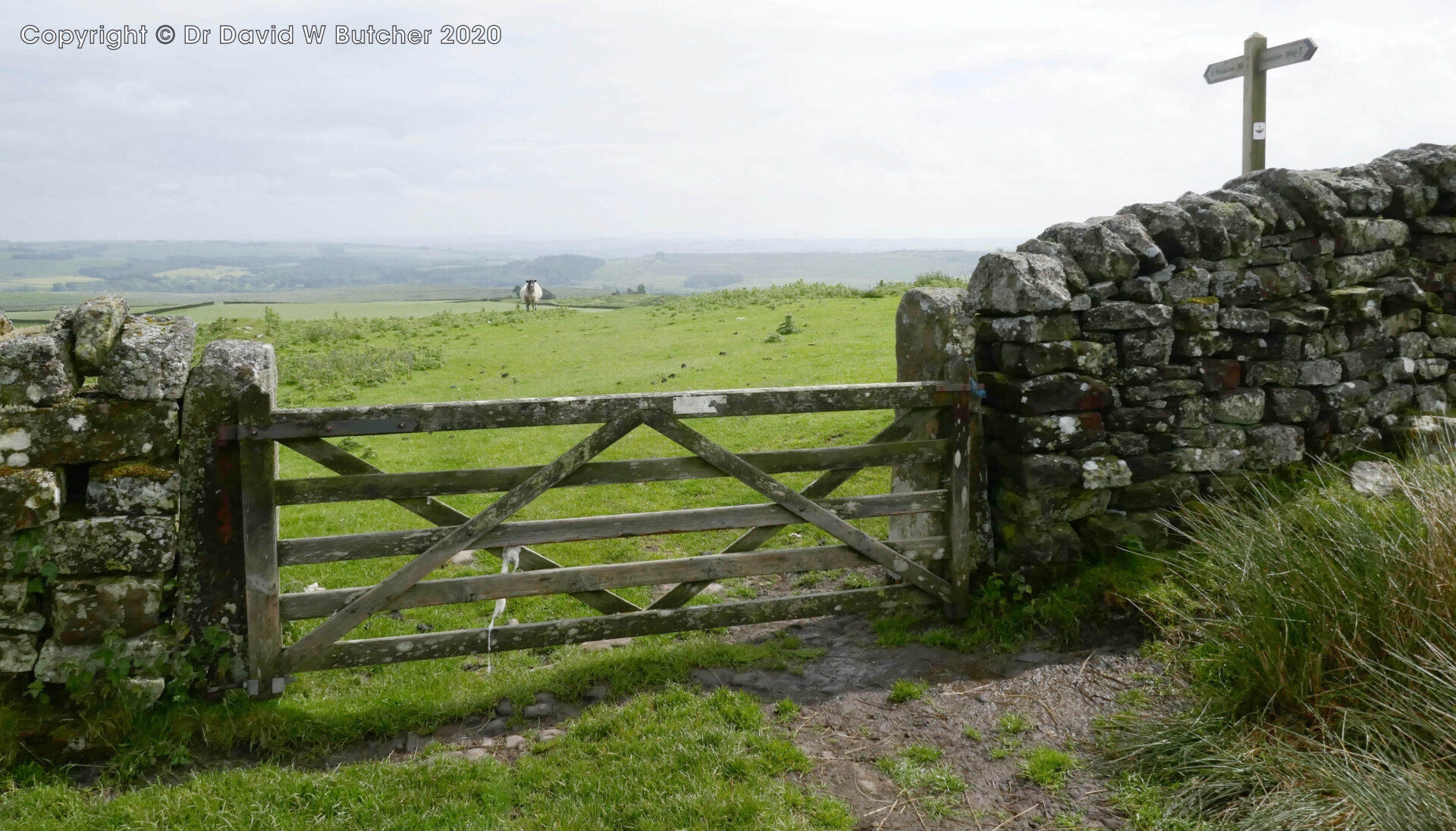
At 12.20pm we passed the path junction for The Cheviot and continued for 10 minutes to Auchope Cairn 725m. The wind speed measured 37.5 mph on my anemometer, which is just about Gale Force. We pressed on steeply downhill to reach Auchope Refuge (also called Hen Hole Hut) at 1pm and 7.7 miles. Unsurprisingly, it wasn’t the one I sheltered in 50 years ago, they seem to have replaced the old railway goods wagon with a large garden shed! The rain eased off so I took a few photos.
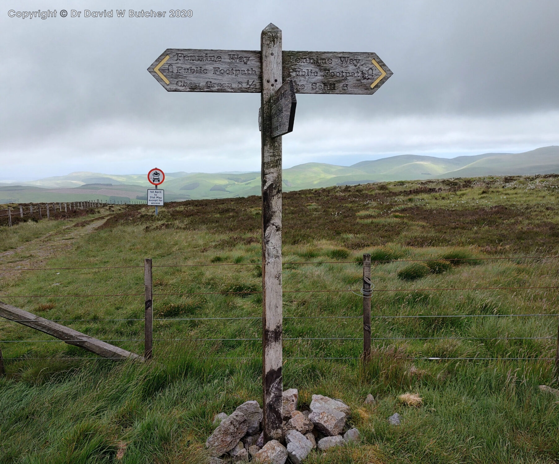
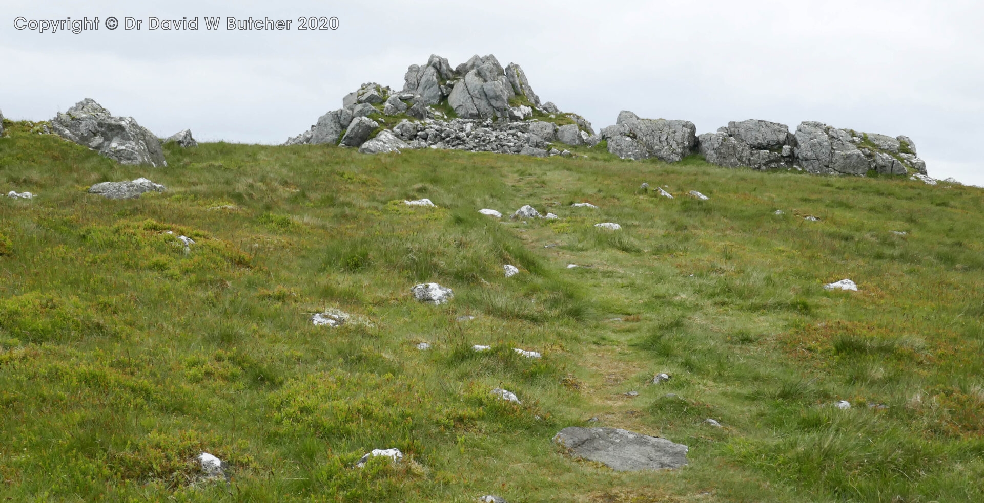
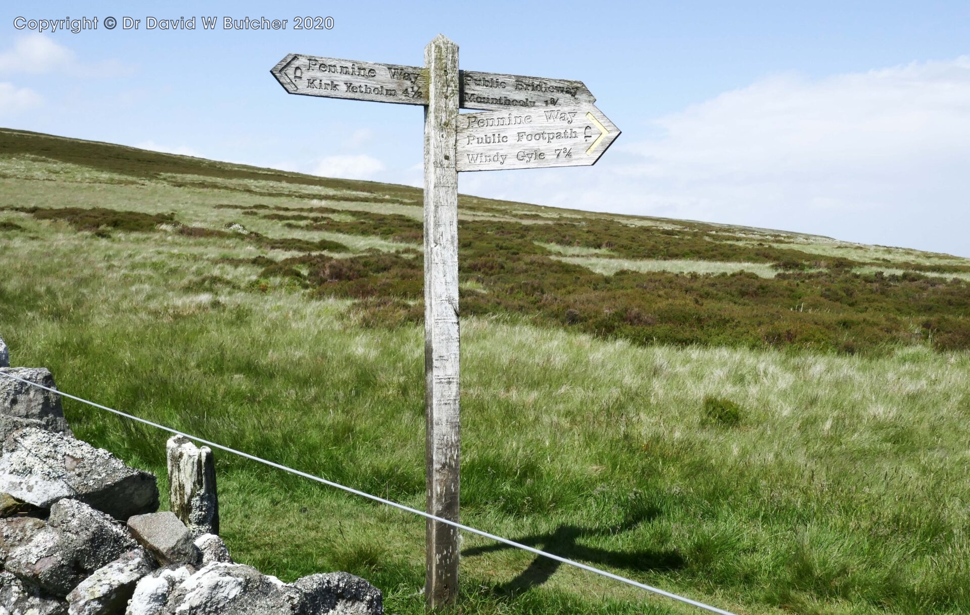
After a 20 minute break we continued to Schil summit at 2.15pm and 9.5 miles, just off route. It was reached by crossing a stile and climbing the summit rocks, it was dry.
At The Schil the wind had dropped to 32 mph but the windchill reduced the temperature we felt from 6°C to 0.5°C.
We had sunny spells from 3pm as we made our way down through a farm to the road to Kirk Yetholm.
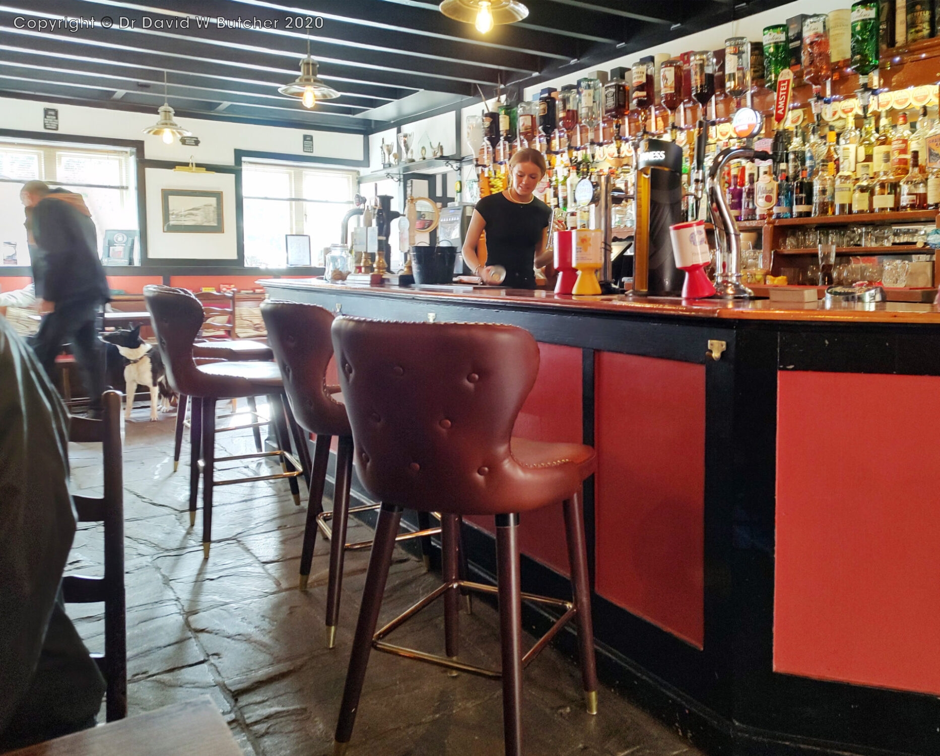
We reached the Border Hotel bar at 4.45pm for a well earned pint and stayed at the Border Hotel again.
14.6 miles in 7 hours, 2910ft (890m) ascent. Max height 2457ft (750m).
Wednesday 5th June 2024 Cocklawfoot to Byrness
Day 2 17.2 miles 8 hours
Jan drove us round all the way to Cocklawfoot Farm so it was just an hour to do the 2 miles along Clennell Street to the ridge. There’s lots of room to park cars and turn around before the bridge near the farm entrance. We started at 9.25am.
It was bright, sunny and a bit breezy but we soon warmed up as we climbed the hill track to the ridge.
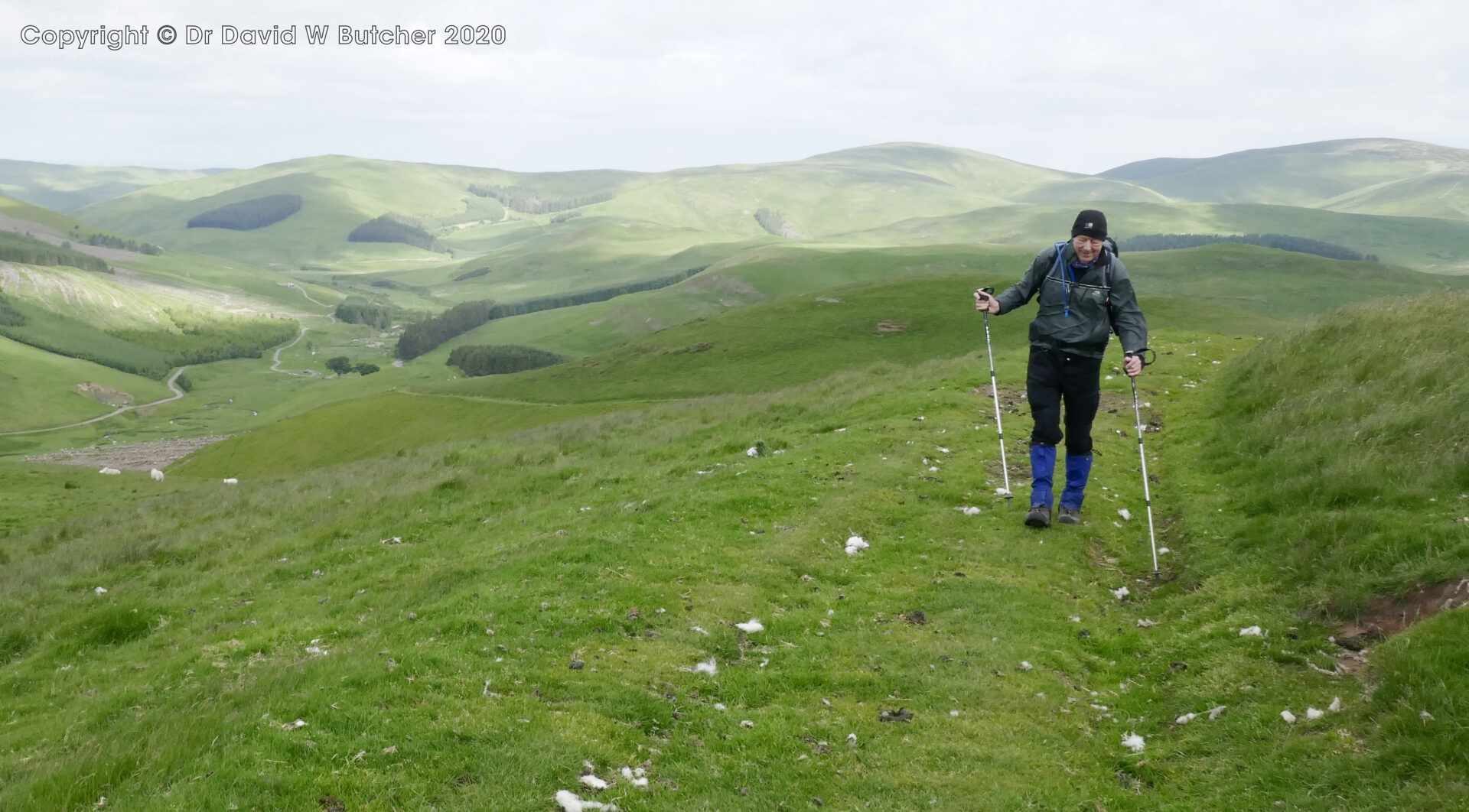
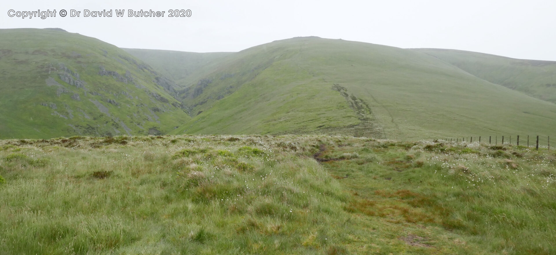
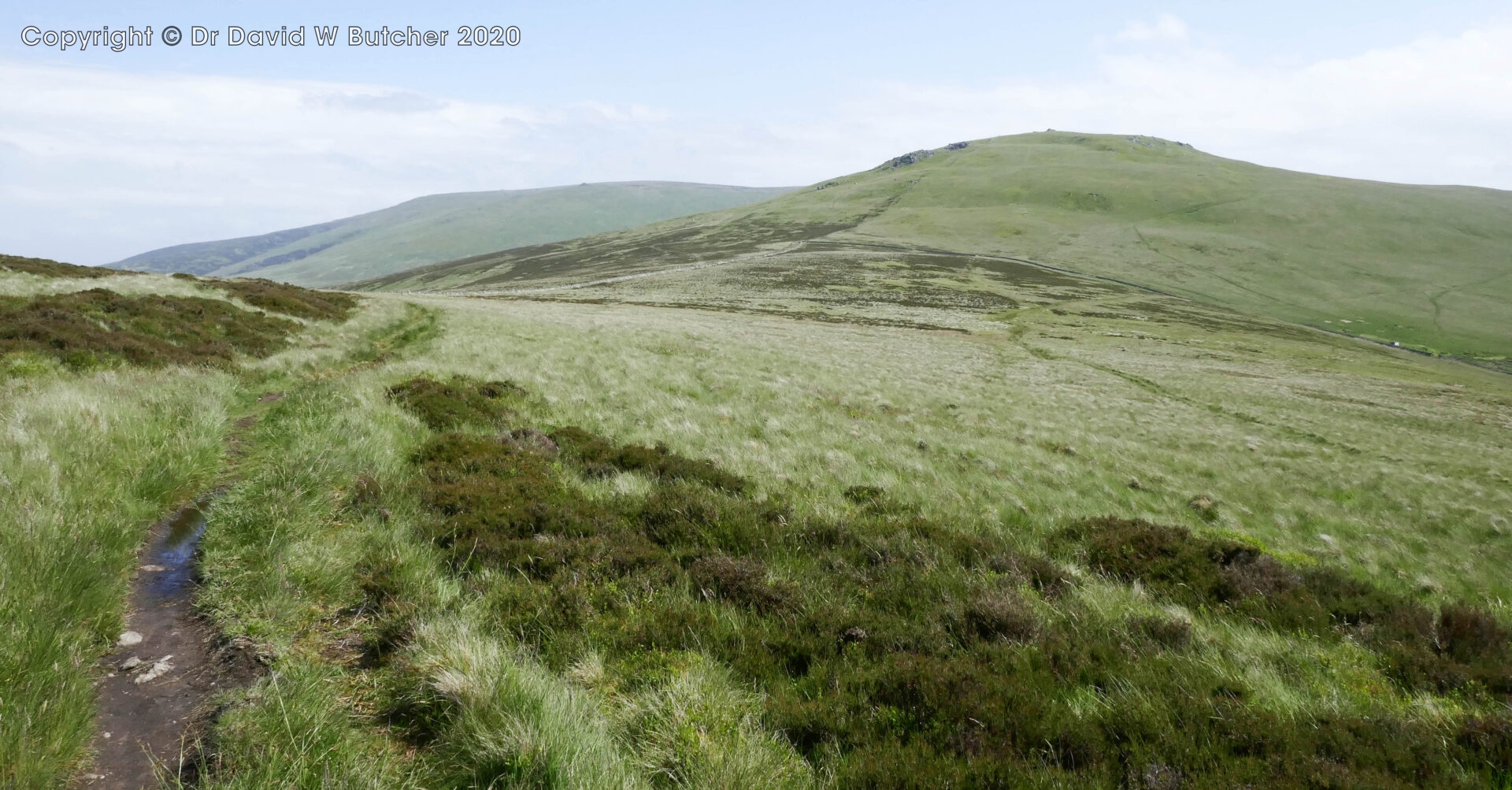
The ridge going south was similarly well slabbed like yesterday to the north so we covered the ground quite quickly. We reached Windy Gyle at 11am 3.5 miles in the rain and wind. We didn’t stop long! The sun briefly came out soon after.
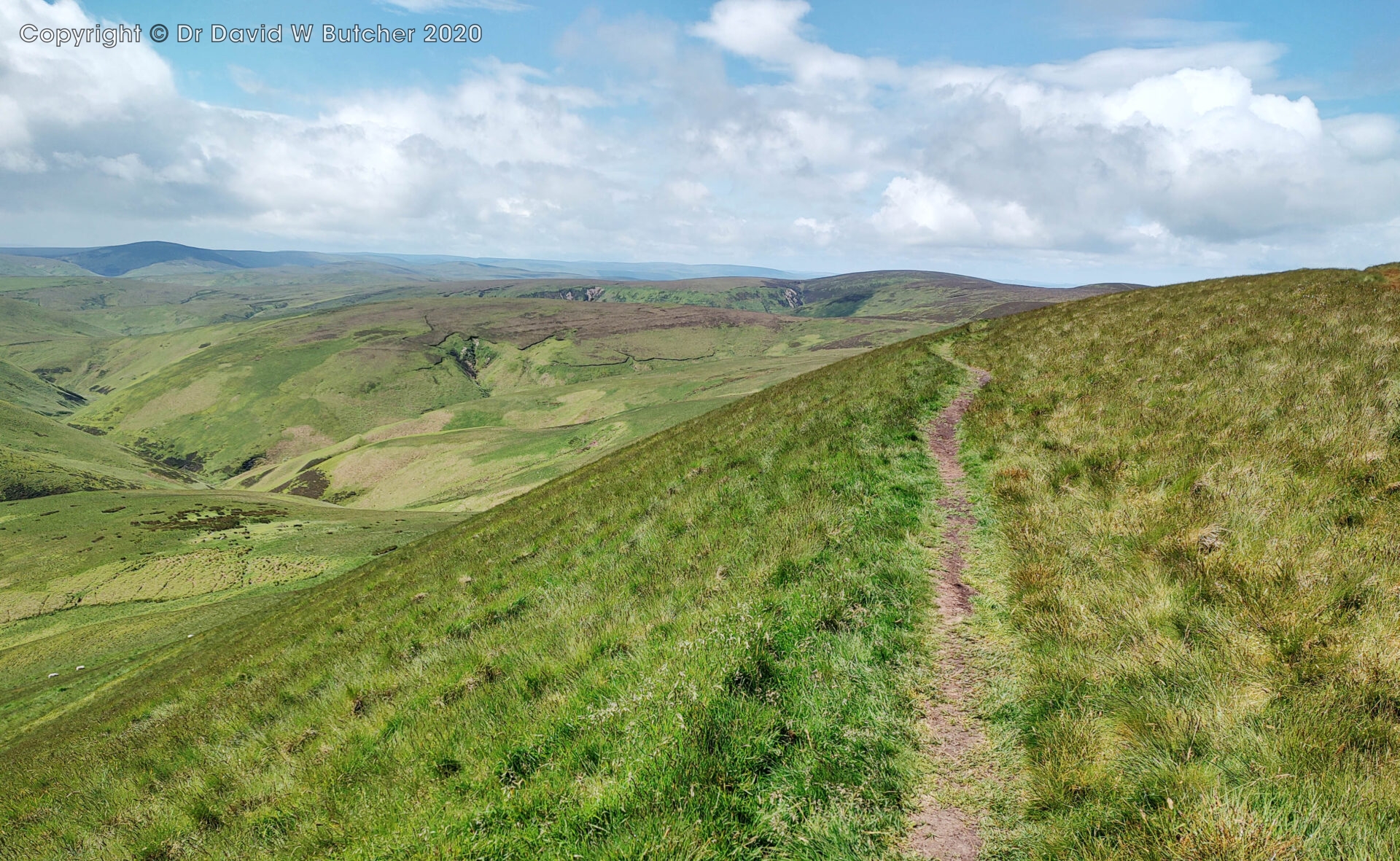
Mozie Law 552m was reached at 12pm 5.5 miles. The rain had stopped but it was still windy.
Lamb Hill was just a few minutes further on at 7.2 miles from Cocklawfoot, and the sun came out!
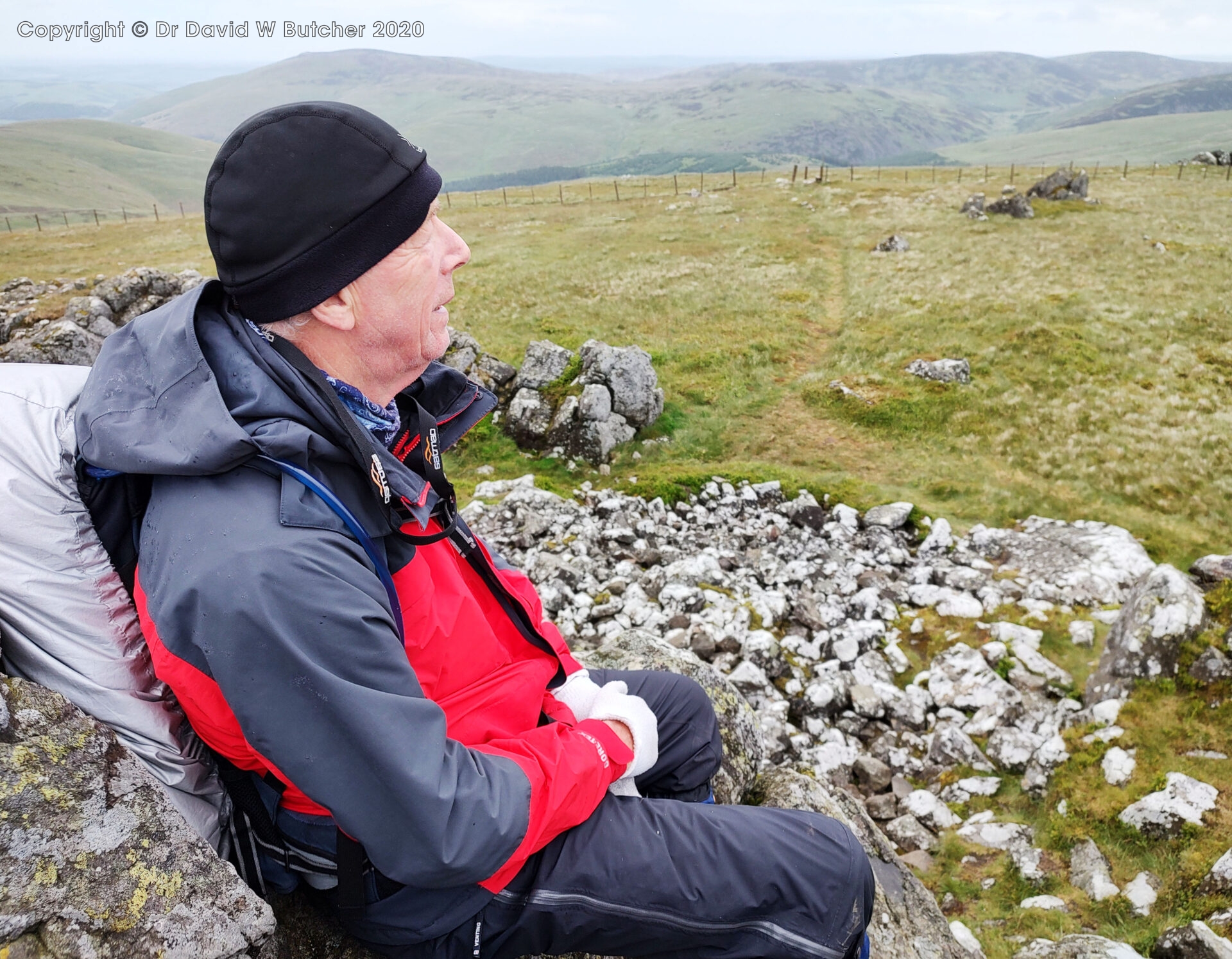
Another 10 minutes and half a mile saw us at Yearning Saddle Lamb Hill Refuge. We sat outside having a 15 minute break for a chat with other Pennine Wayfarers who were heading north. The refuge was a similar large garden shed type design, similar to the Auchope Refuge closer to Kirk Yetholm.
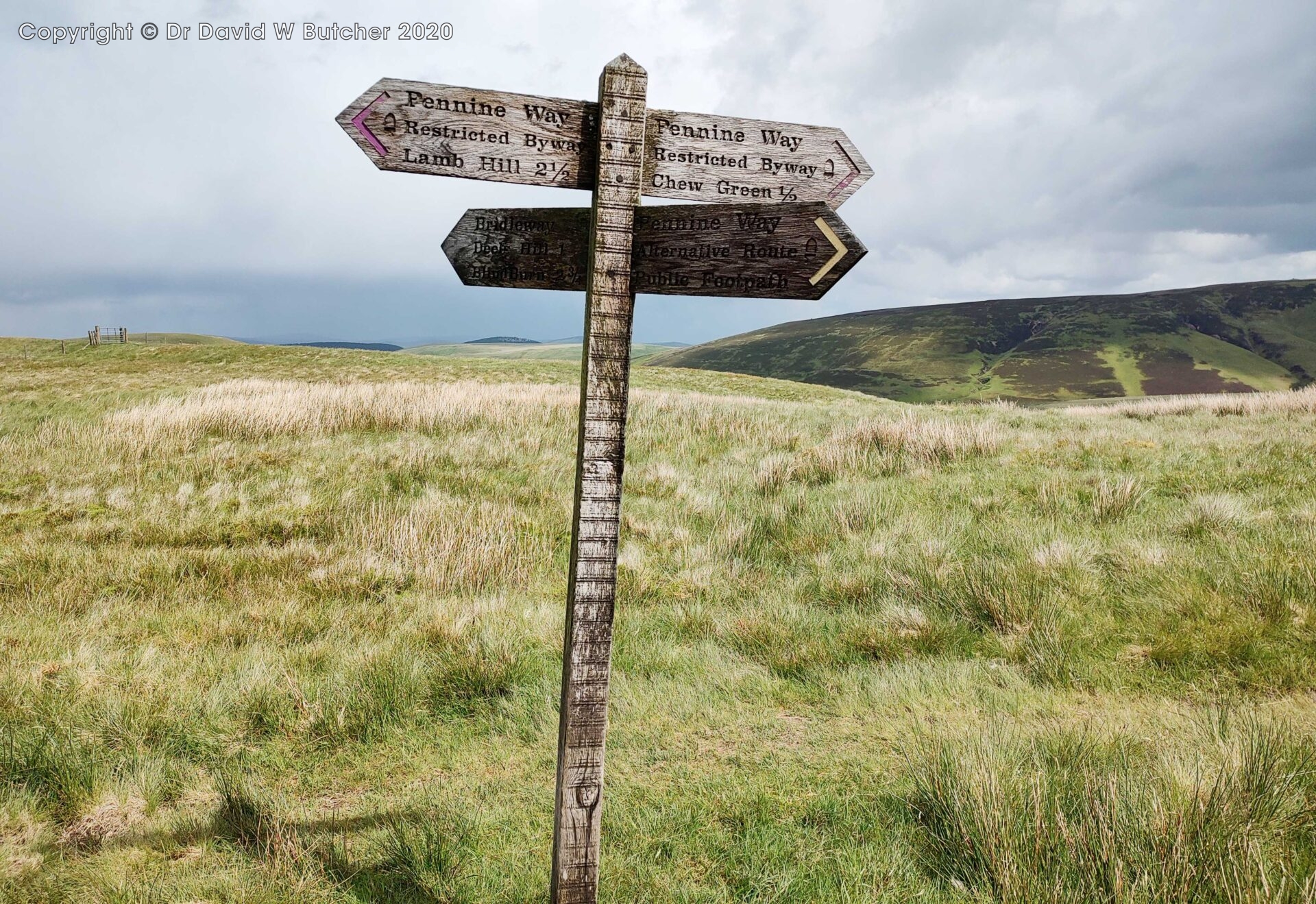
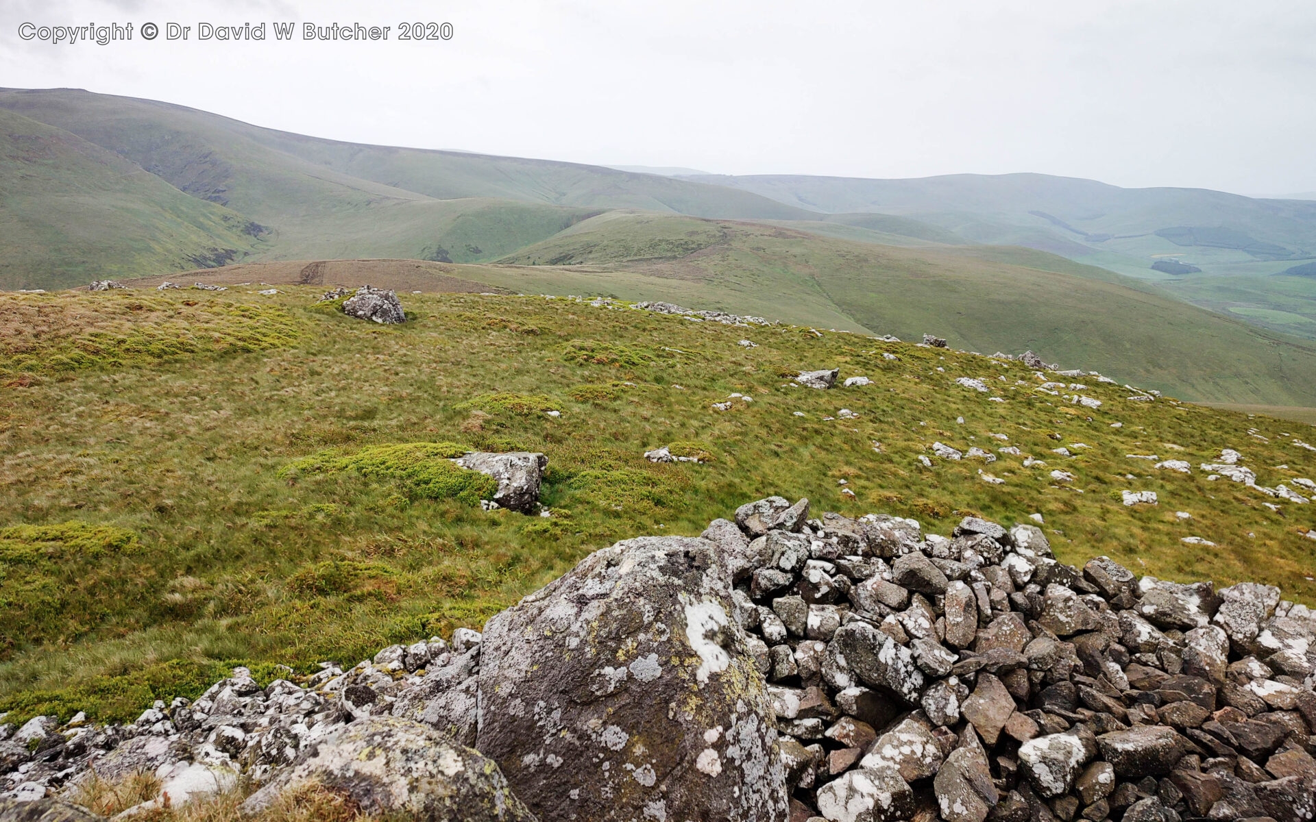
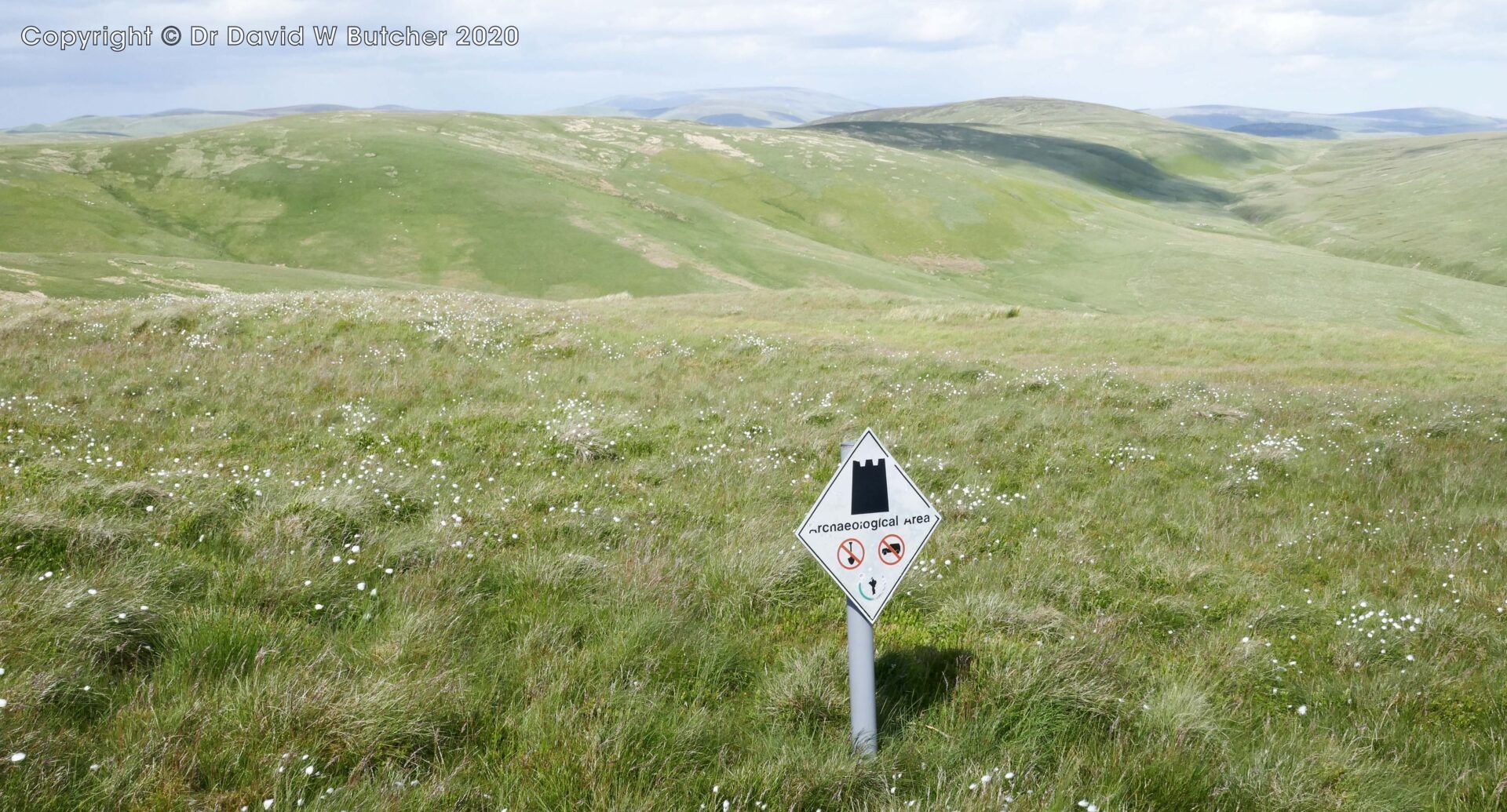
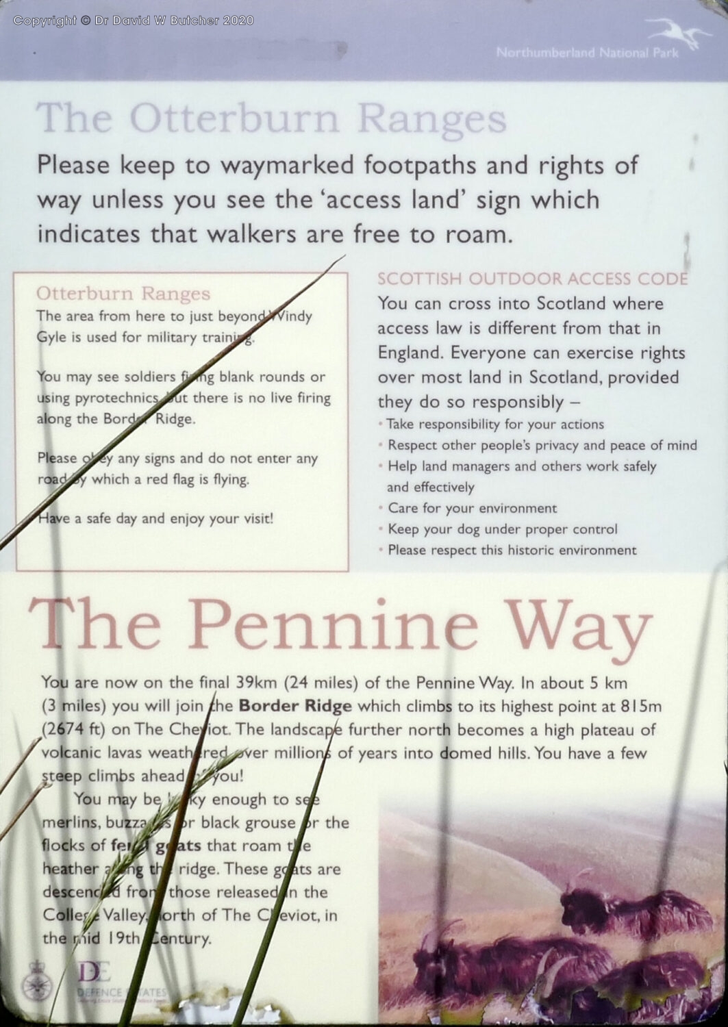
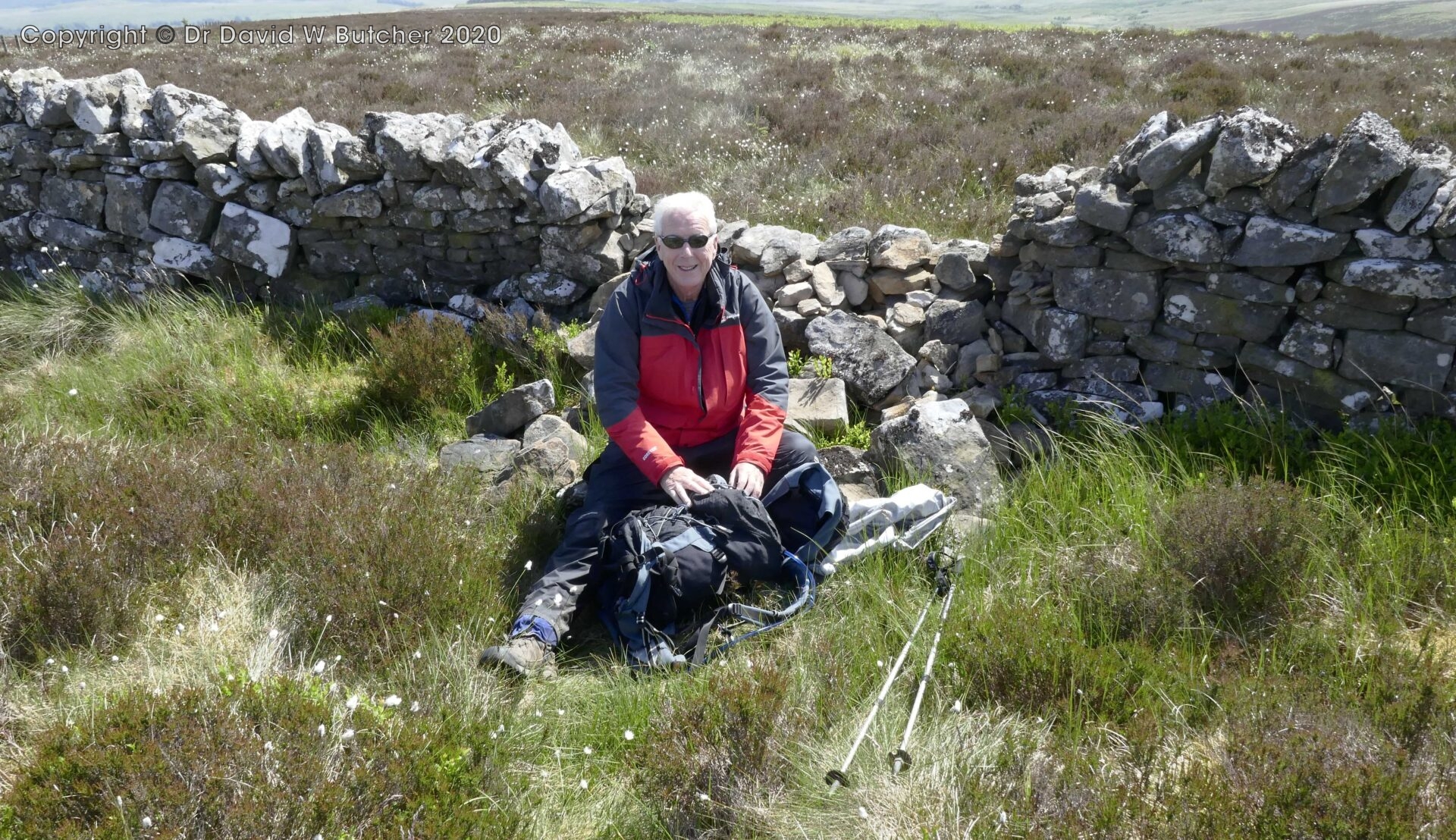
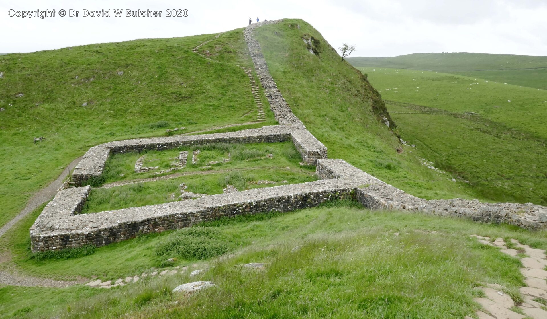
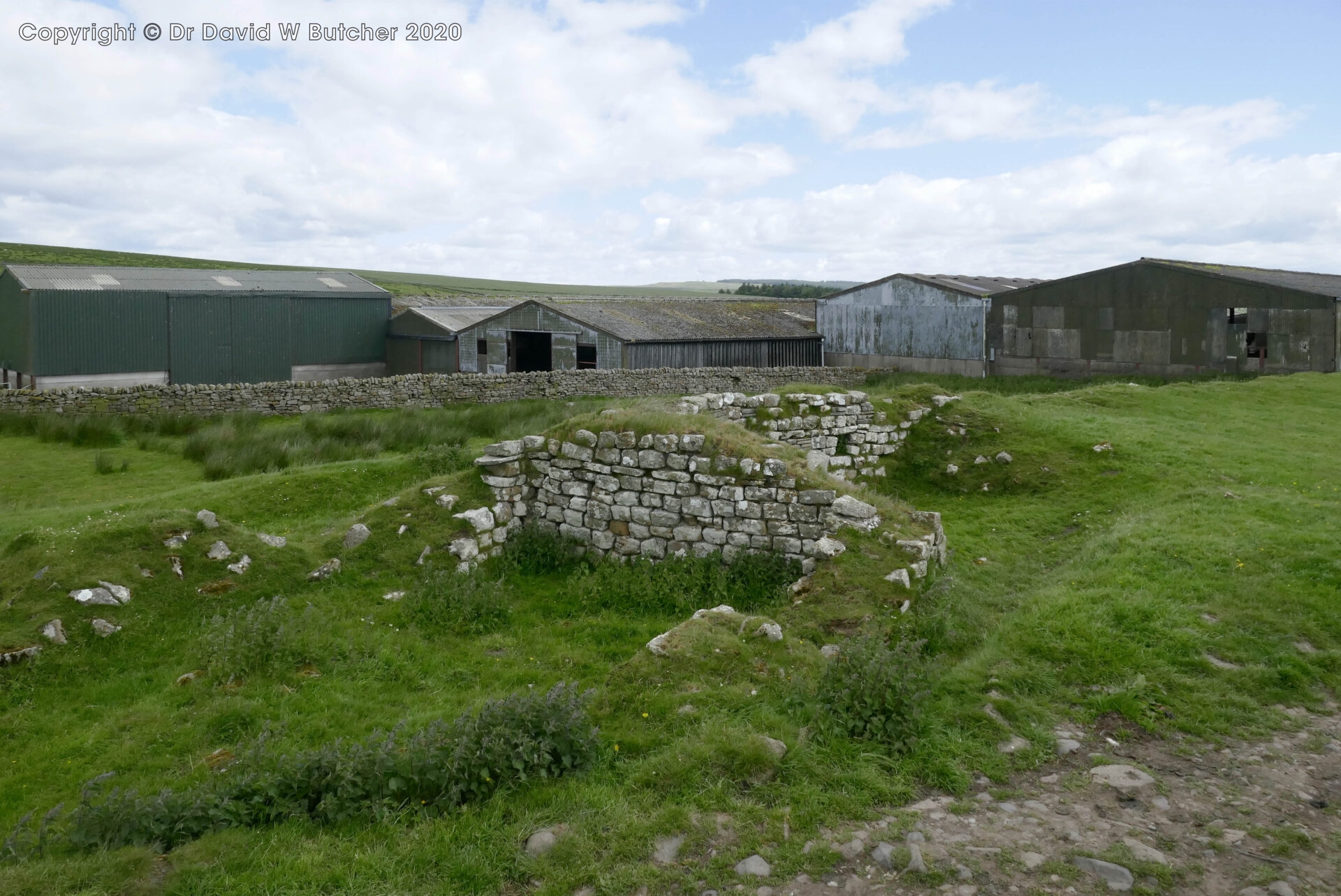
At 3pm 11.5 miles we reached Chew Green Roman Fort. We wandered around here to try and gauge the size of it – it’s huge and photographs don’t seem to do it justice. The defensive ditches around the outside are still quite deep in places too.
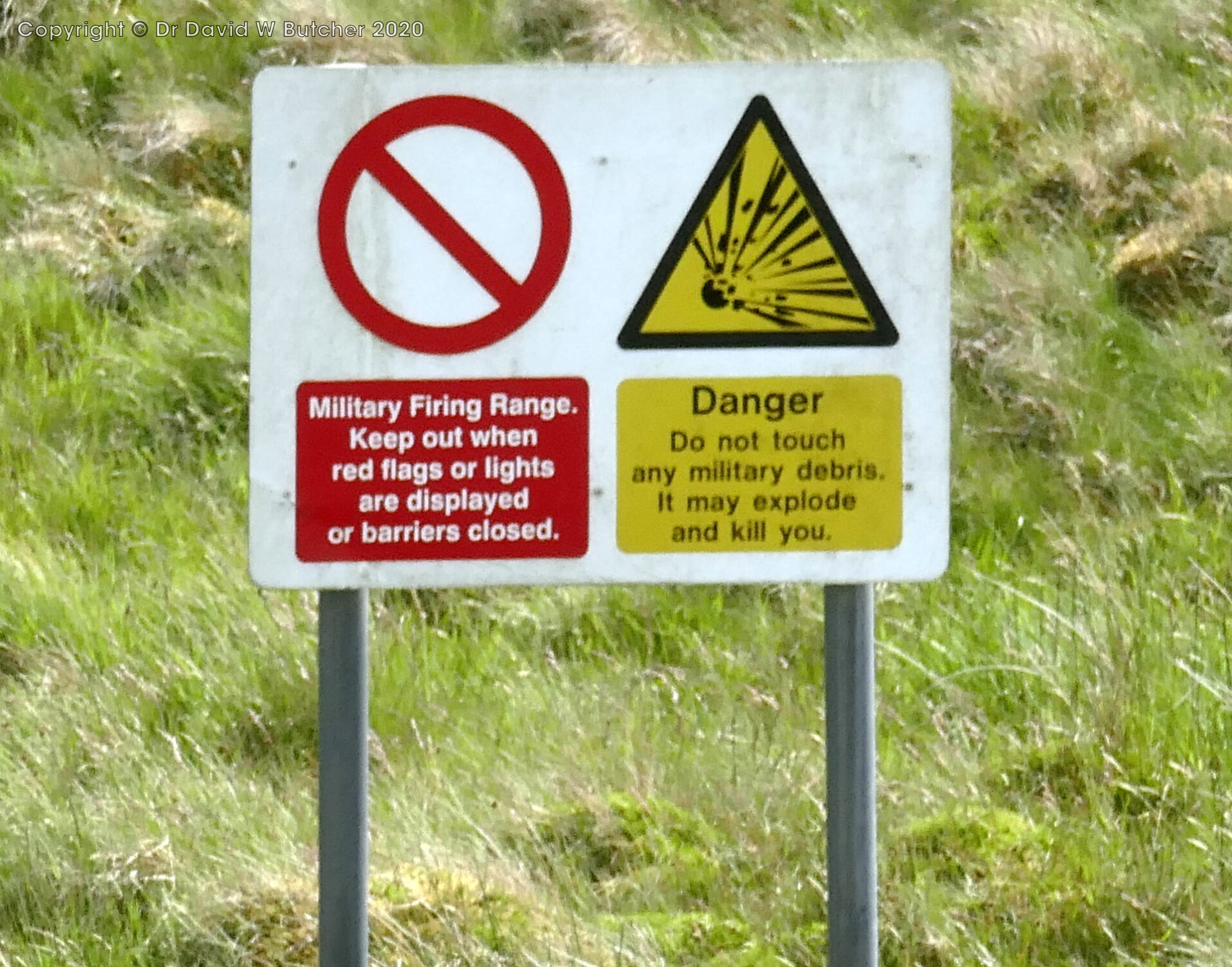
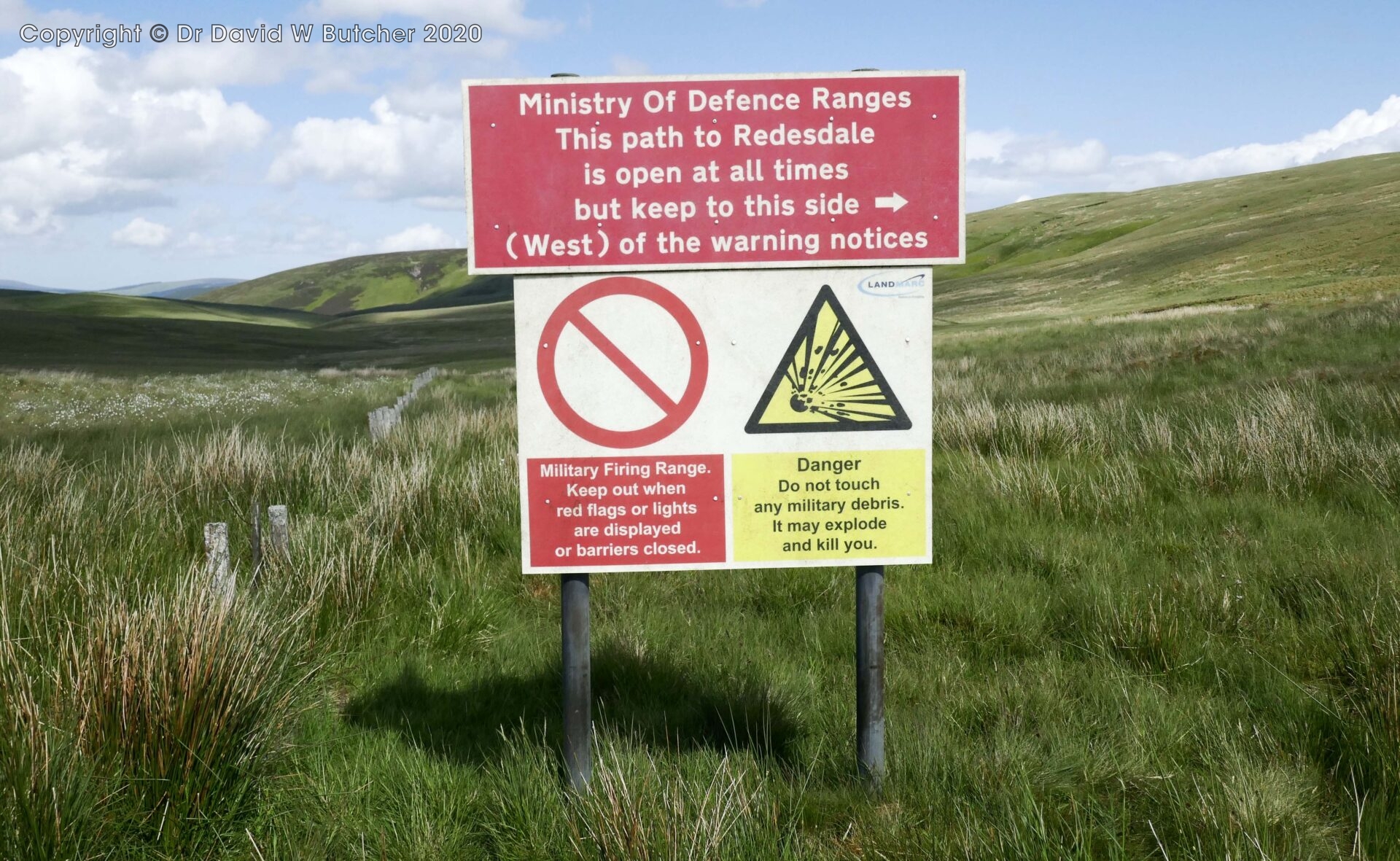
The route follows the edge of a military firing range and red flags were flying so we pressed on.
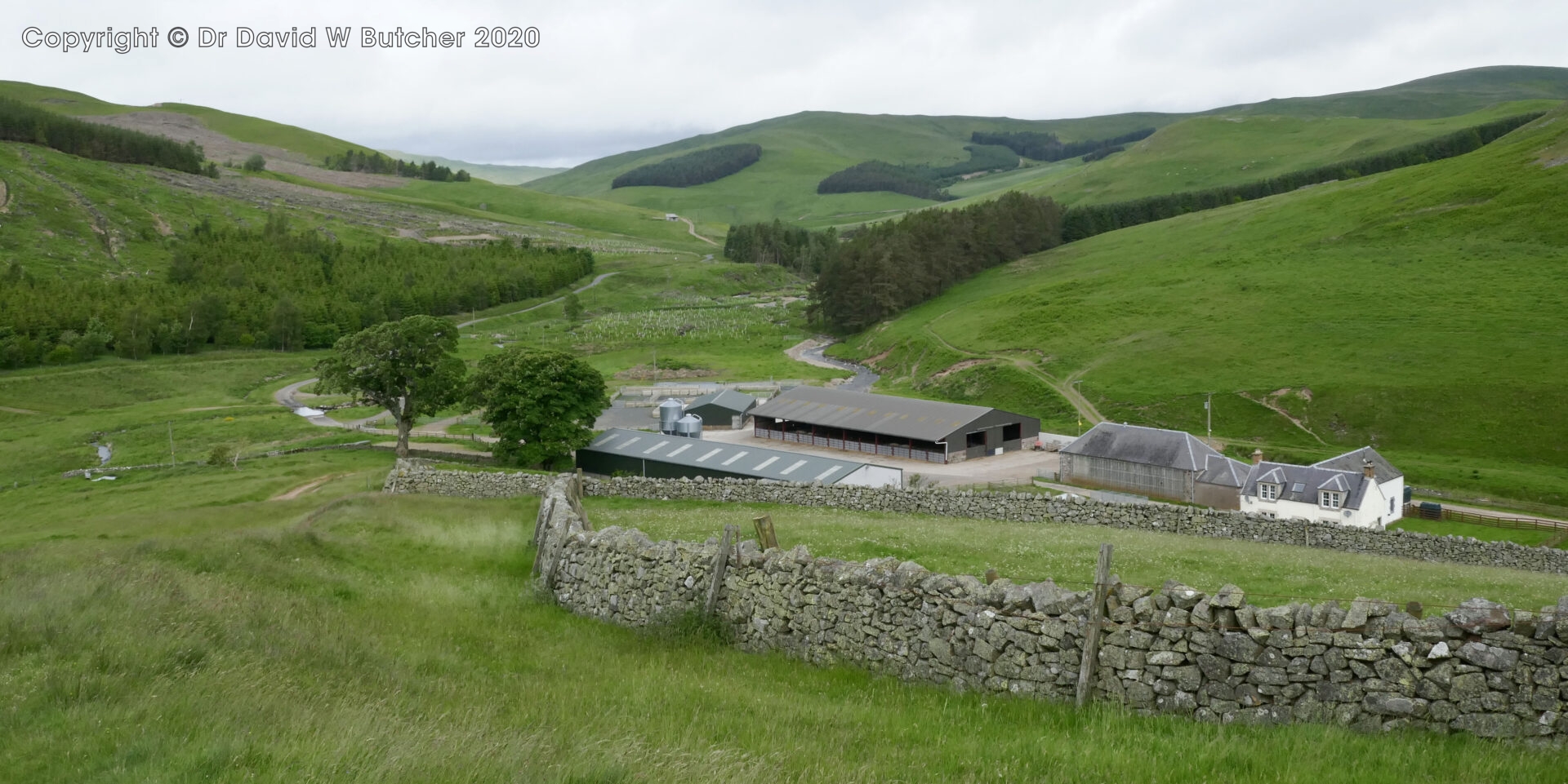
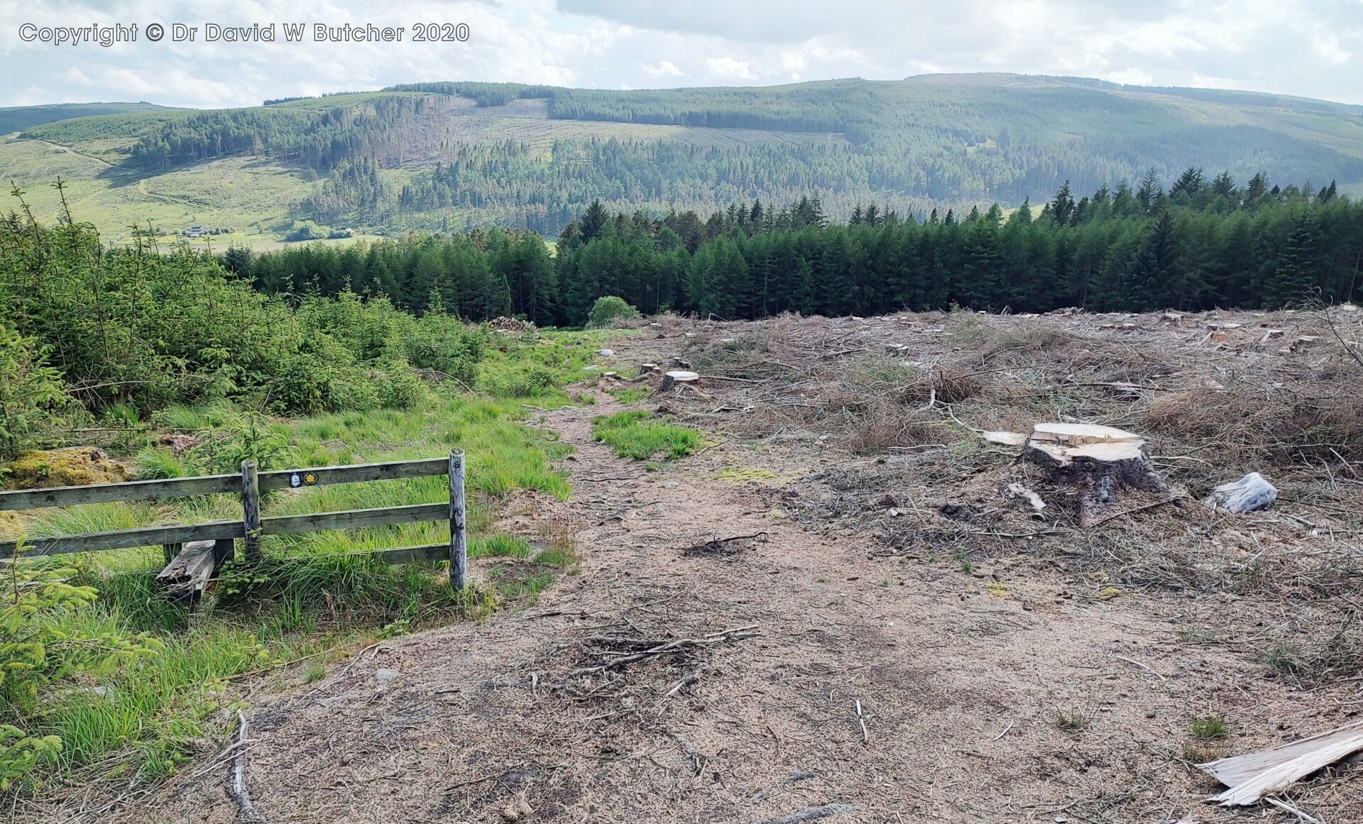
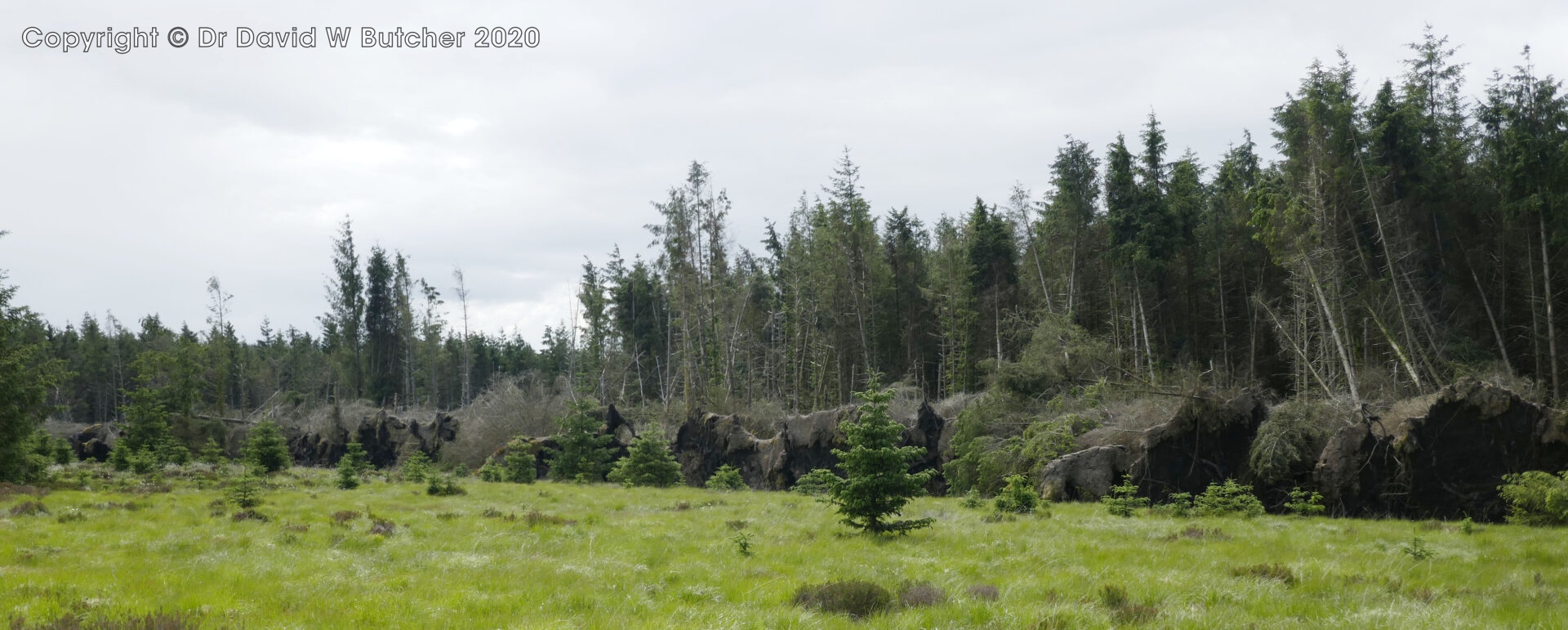
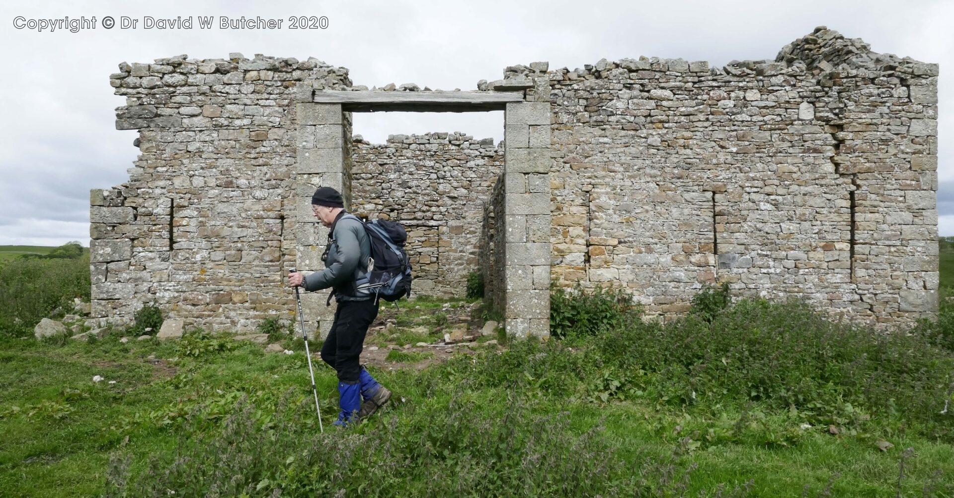
We followed the tops, like a high plateau, before descending steeply from Byrness Hill through freshly cleared forestry to Byrness.
Just before reaching civilisation Al decided to head butt a tree after tripping over a rock on the path. Luckily the tree was unharmed. It was difficult to tell if Al was affected as he still kept coming out with his usual gibberish! I was sure he’d be fine after a pint or so and this proved to be the case.
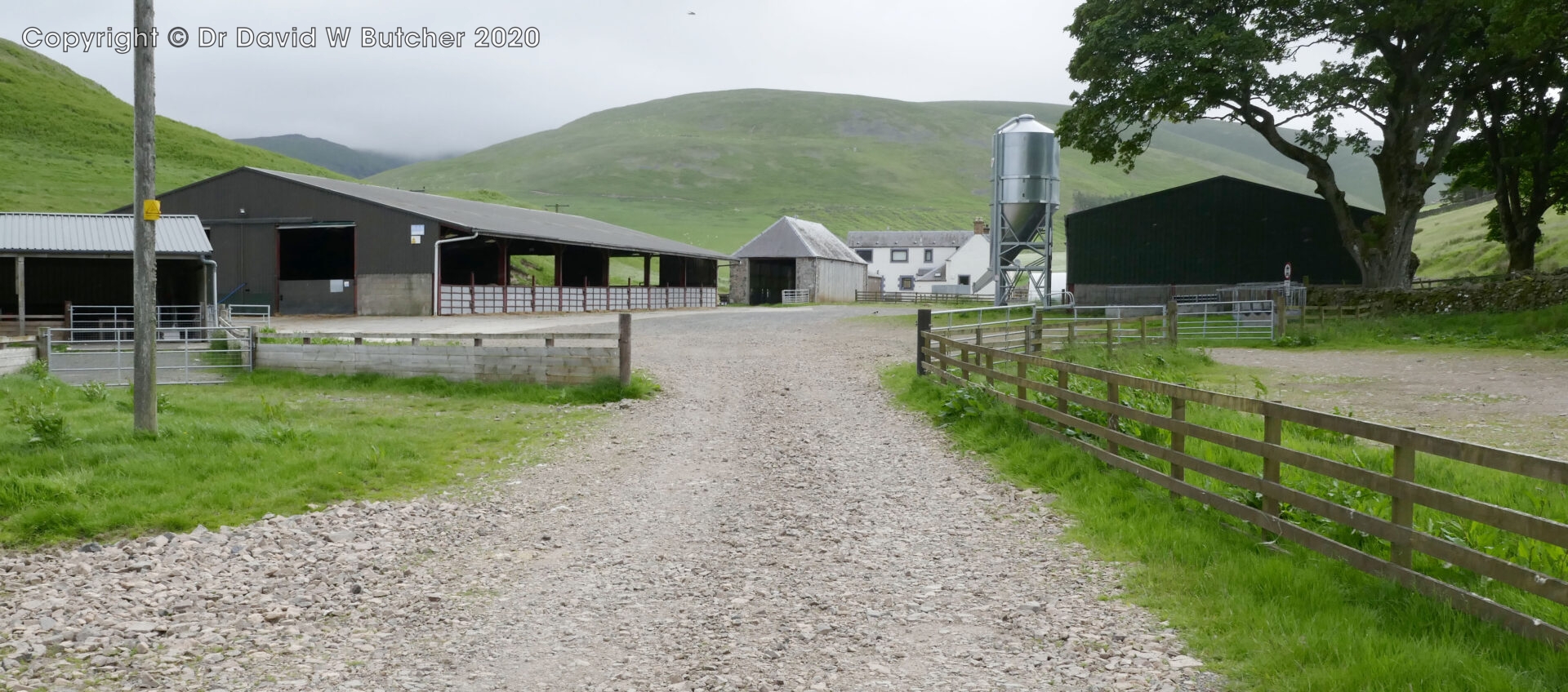
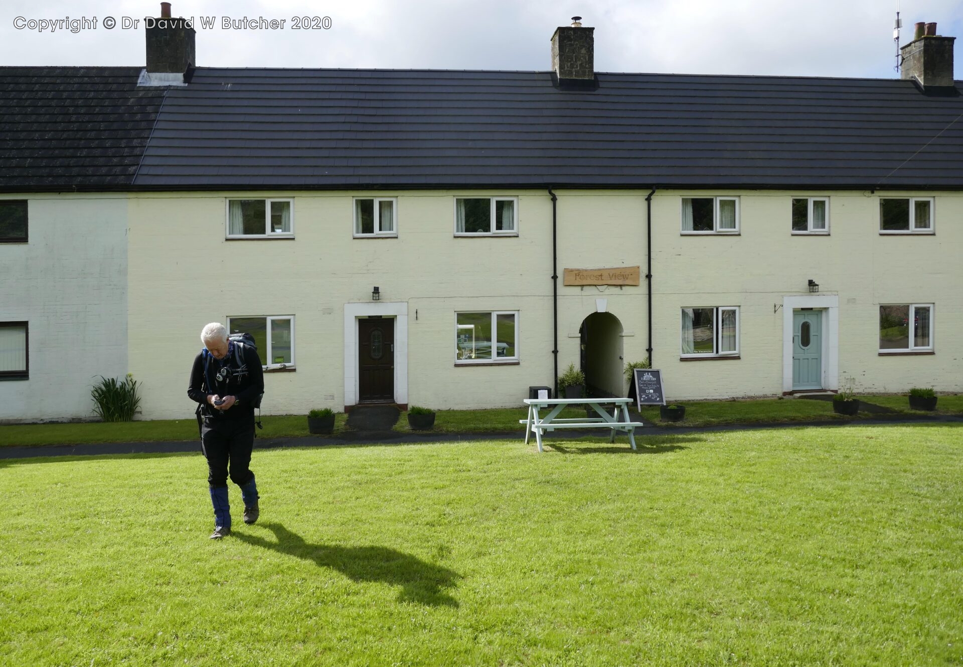
We arrived at Forest View Inn at 5.30pm, our abode for the night. I tried to stay here in 1974 when it was a YHA hostel. I was backpacking with good friend Chris but the YHA was closed and in quarantine because someone had an illness that the local GP couldn’t identify and thought it could be something serious. We camped on the campsite down the road instead.
Forest View was a very friendly place full of other Pennine Wayfarers from far and wide. There were 14 people walking north but only Al and I were walking south.
Dinner was Spanish Chicken with Chorizo Sausage and beers from the First and Last Brewery in Bellingham.
During the evening I received a message from Jan to say our accommodation for tomorrow night at the Cheviot Hotel in Bellingham wasn’t available. Our booking was lost during the change in ownership!
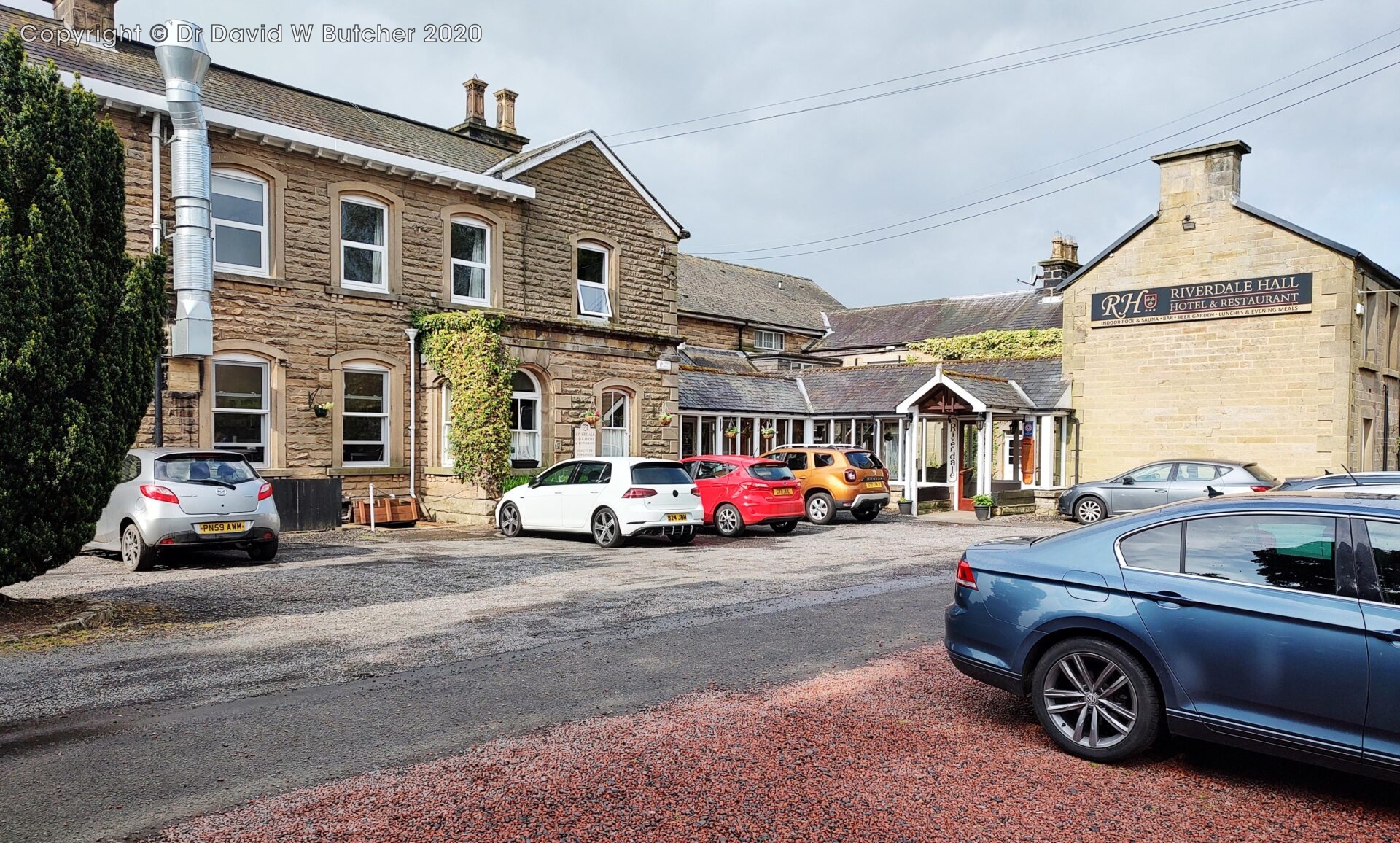
Fortunately, Jan managed to book us into the Riverdale Hall Hotel on the edge of Bellingham instead.
17.2 miles in 8 hours, 2.7mph average moving speed, 2752 ft (840m) ascent.
Thursday 6th June 2024 Byrness to Bellingham
Day 3 16.6 miles 7.8 hours
The only downside of Byrness Forest View was that our room was too small for me to do my normal morning stretches for my bad back. Luckily I managed to find a small bit of floor to do a few to get me going.
We had a good cooked breakfast, had our photographs taken outside for posterity by Oli (he photographs most people that stay with them and posts the pics on Facebook), and left at 9.15am. It was sunny with a cold breeze.
It was easy walking on good tracks to start while I warmed up so I was fine.
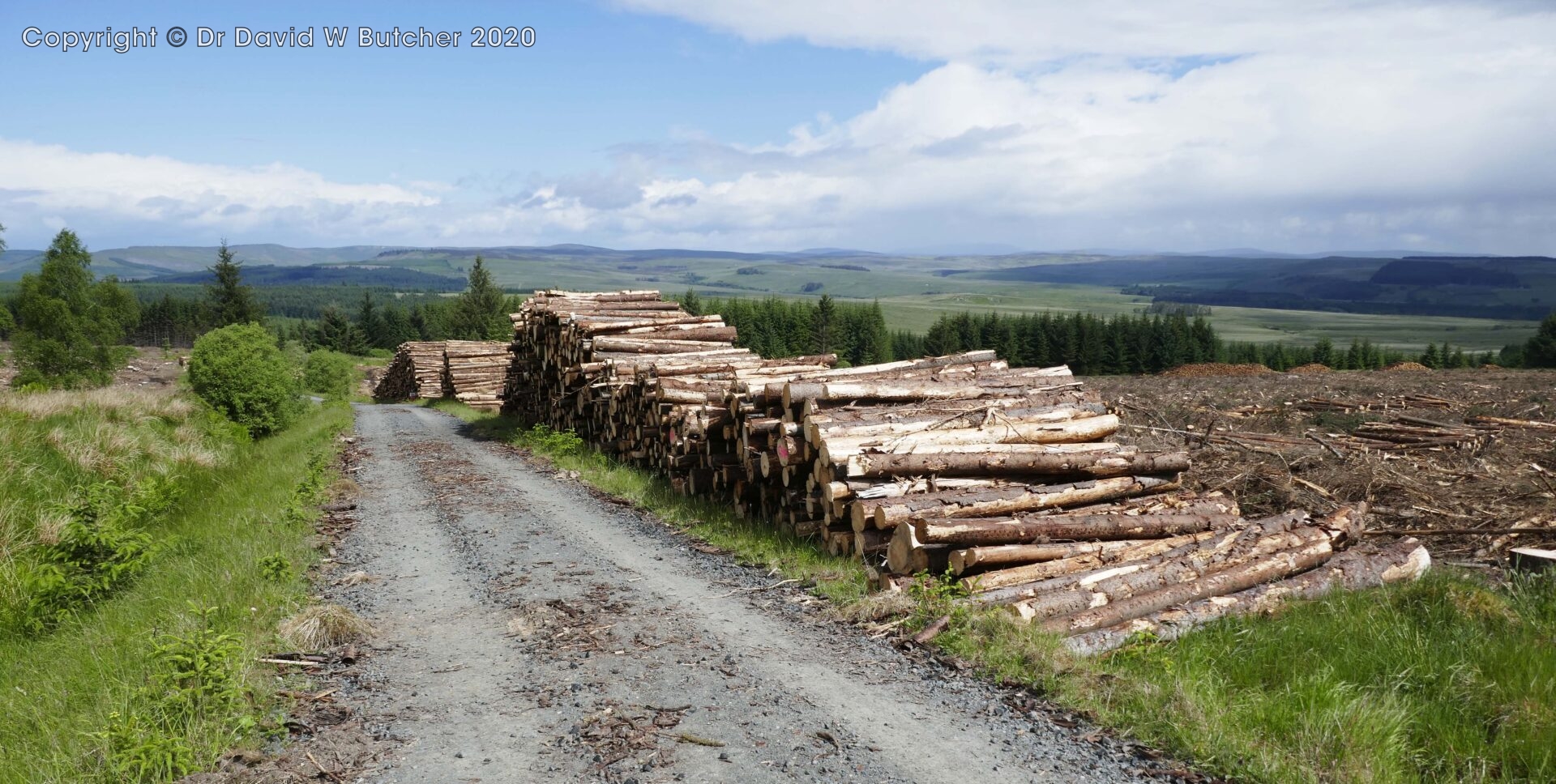
We walked along forestry roads for quite a way. There were lots of huge log stacks beside the tracks.
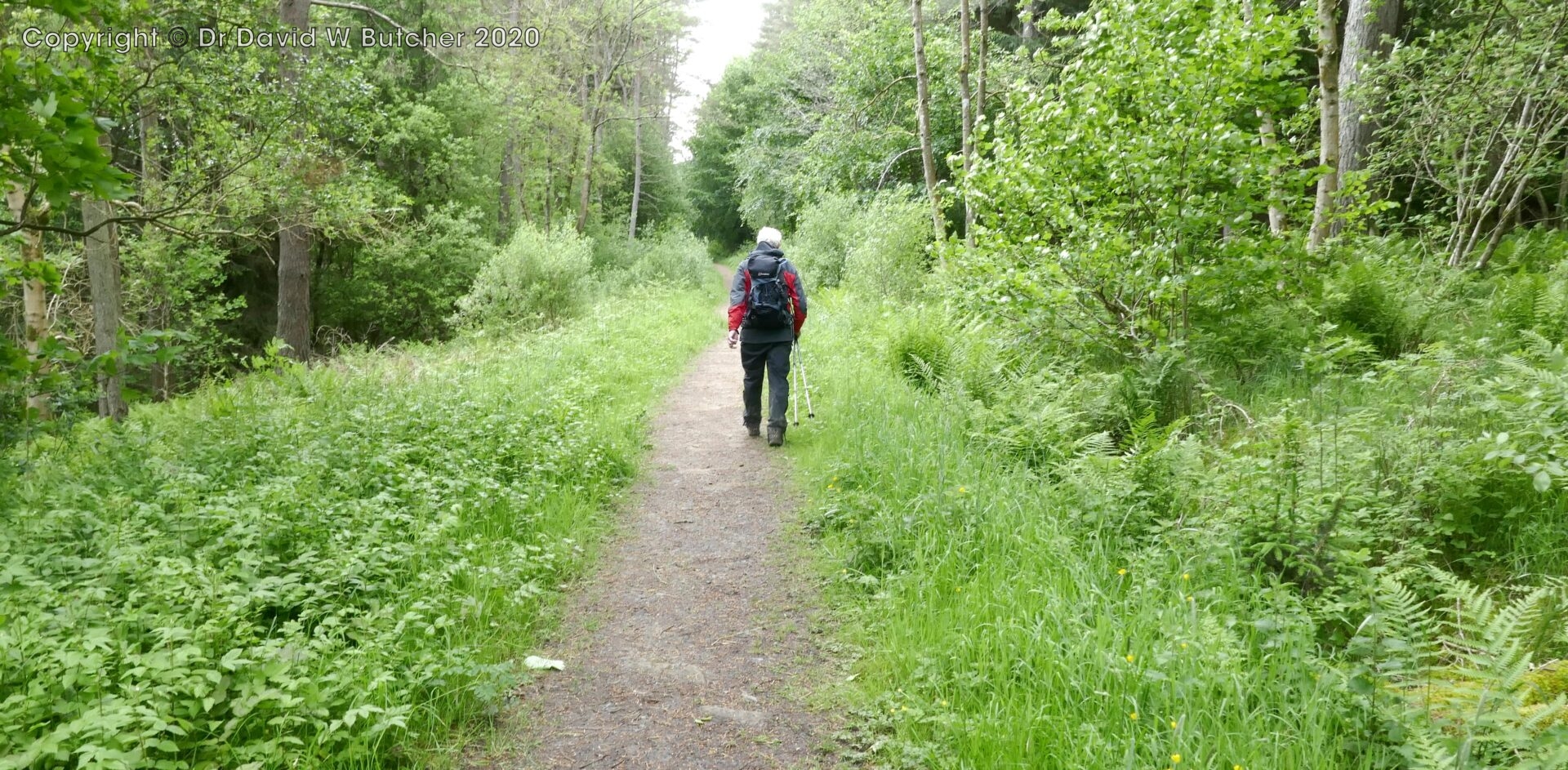
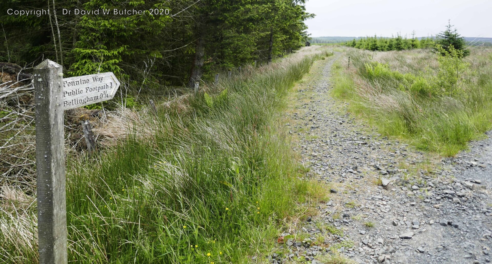
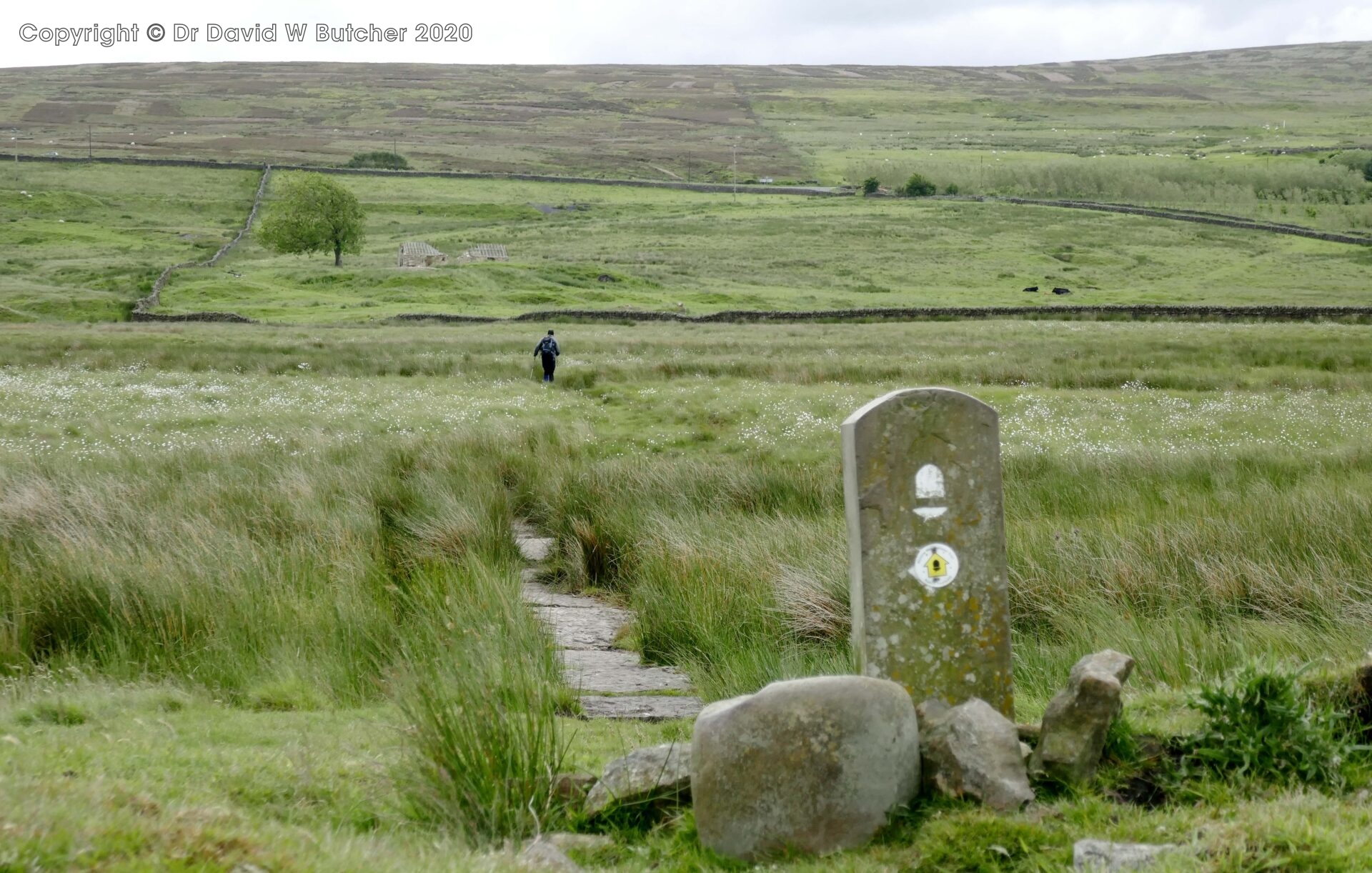
Eventually, at 11.20am we turned off the forestry tracks onto footpaths through forest to open country.
There were quite a few birds in the area around Black Hill and Brownrigg Head including Stonechats and Sky Larks.
We stopped for our lunch break by a stream at 2pm. By this stage we had seen 20 people walking north.
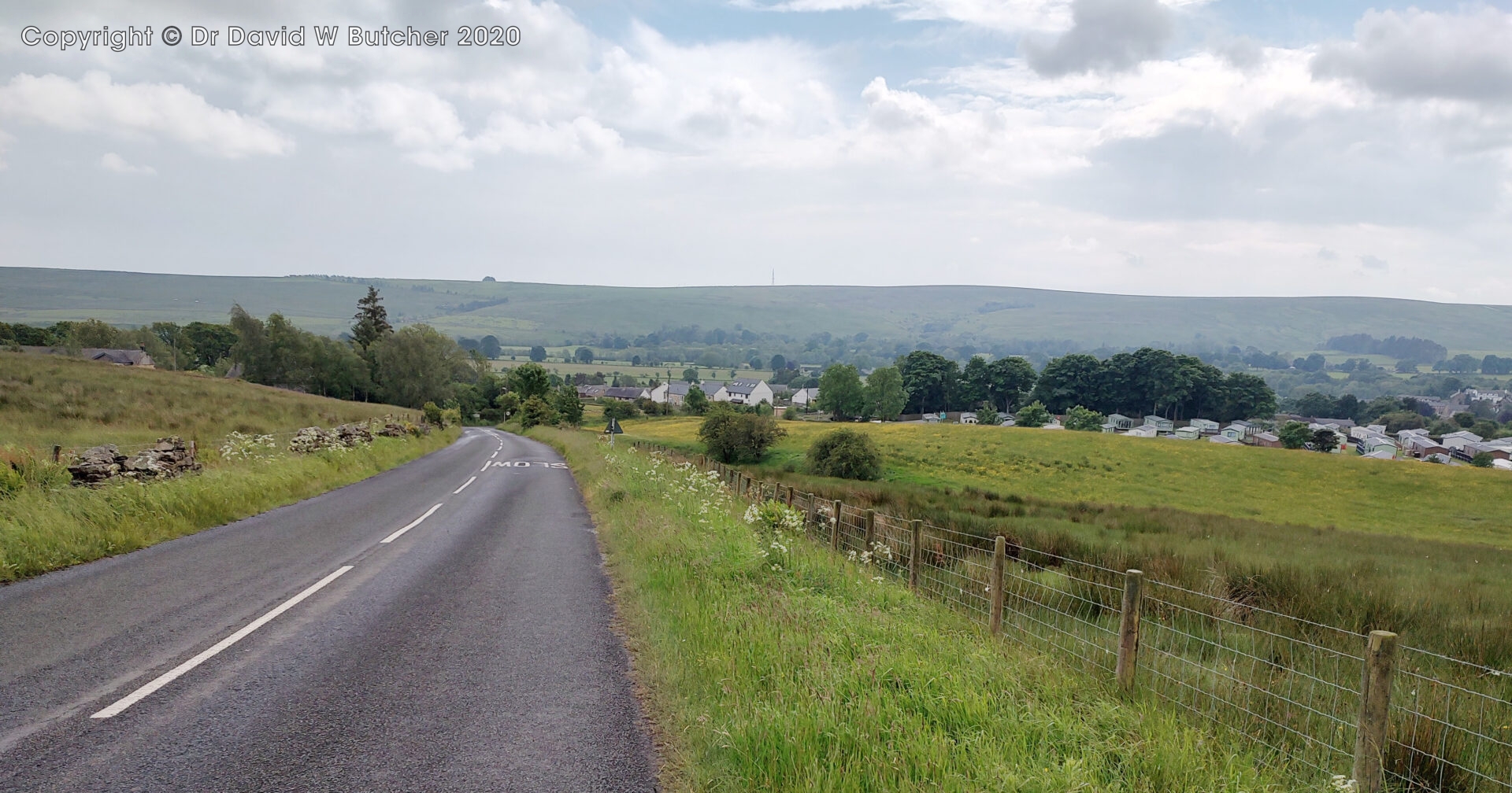
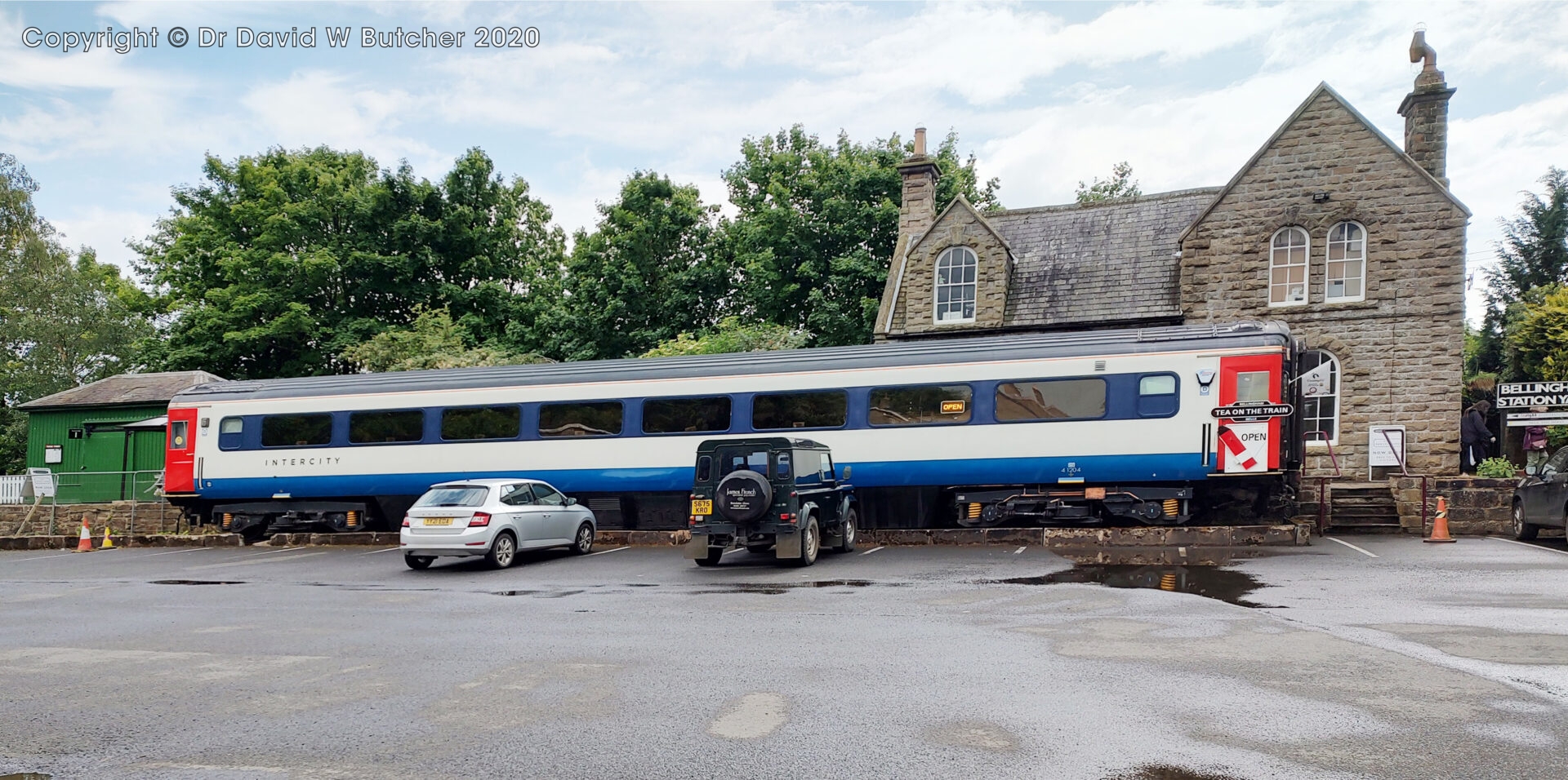
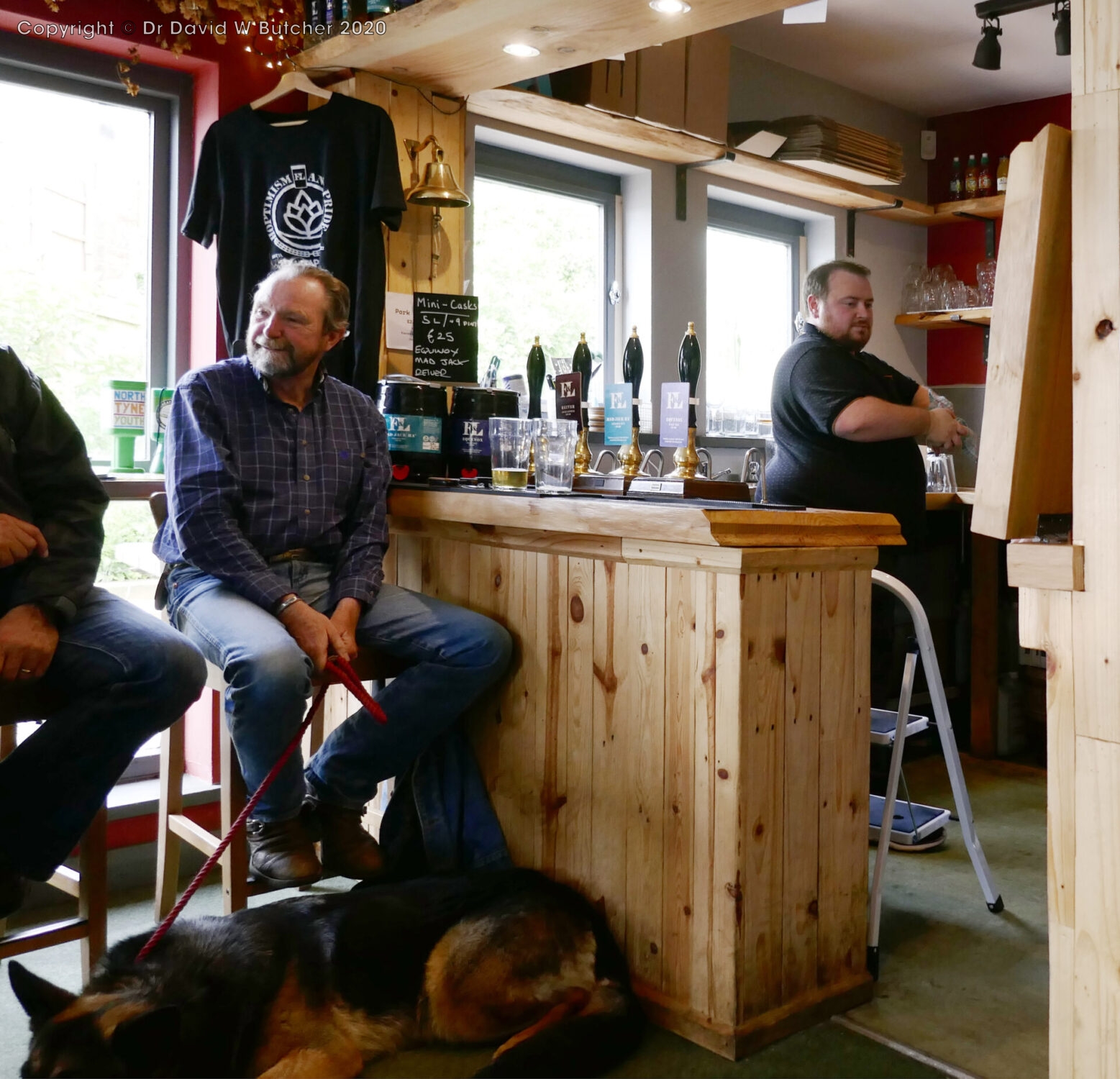
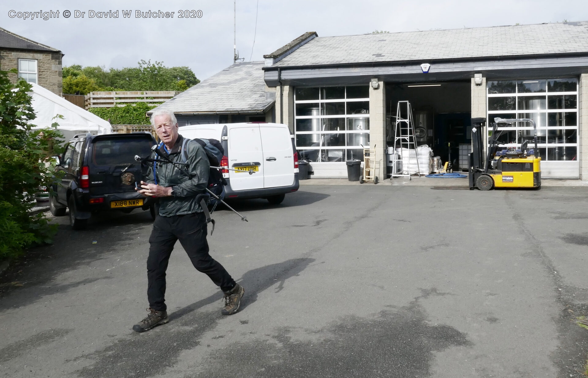
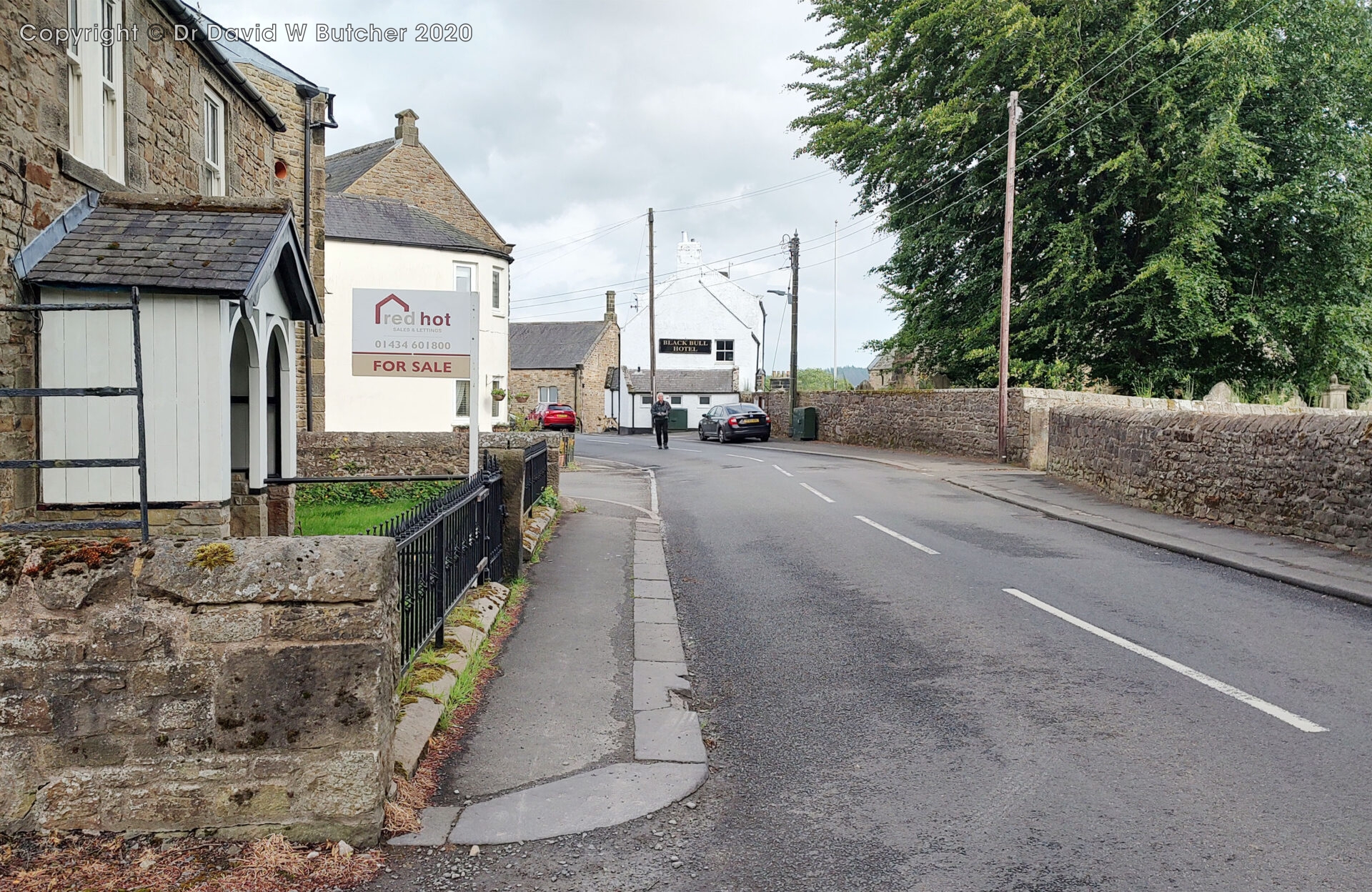
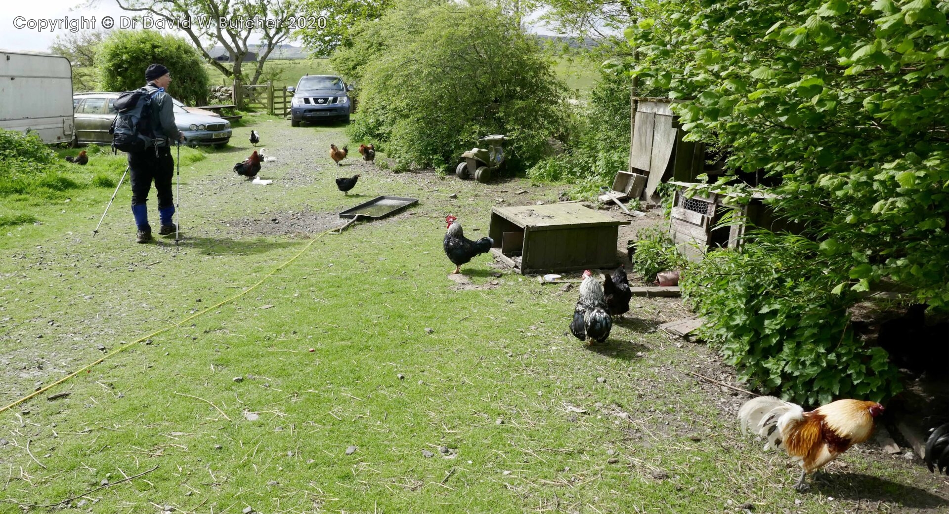
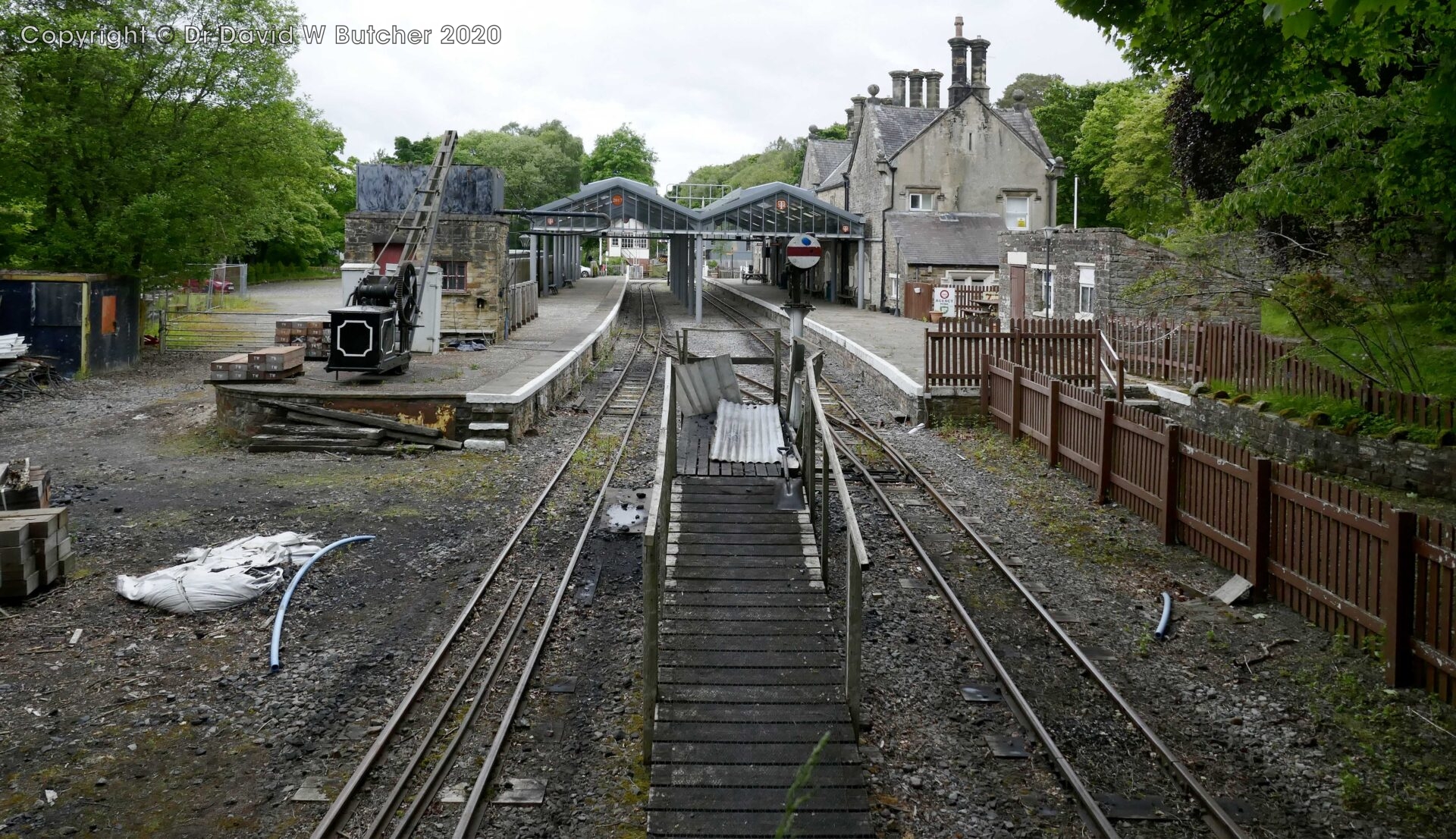
At 3.45pm we walked into Bellingham and spotted an A-board near the old station directing us to the First and Last Brewery. We didn’t want to appear churlish so we immediately diverted and as luck would have it their tap room, adjacent to the brewery, was open. I can highly recommend the Eclipse Milk Stout.
From the brewery it was just 15 minutes to walk the ¾ mile to the Riverdale Hall Hotel.
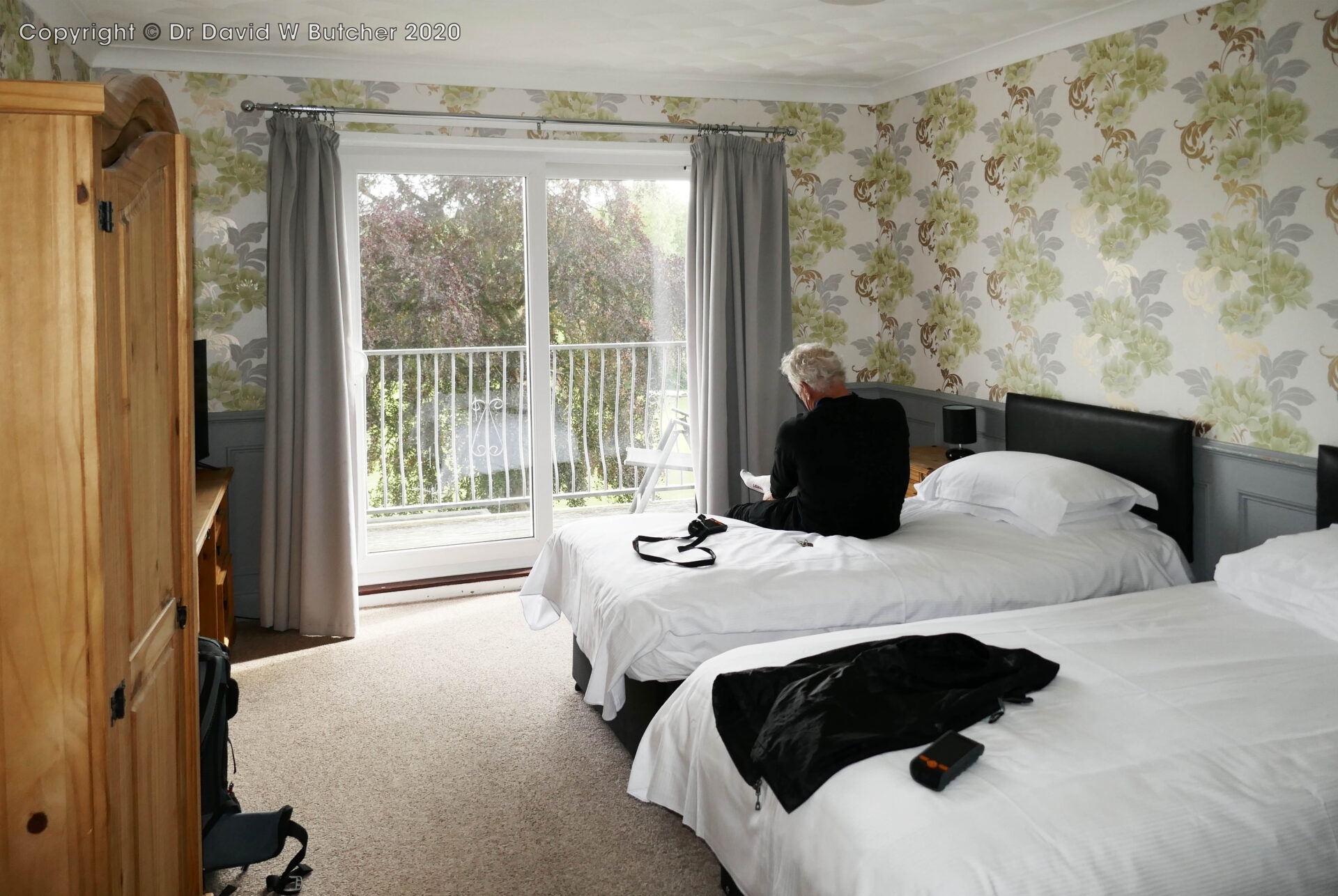
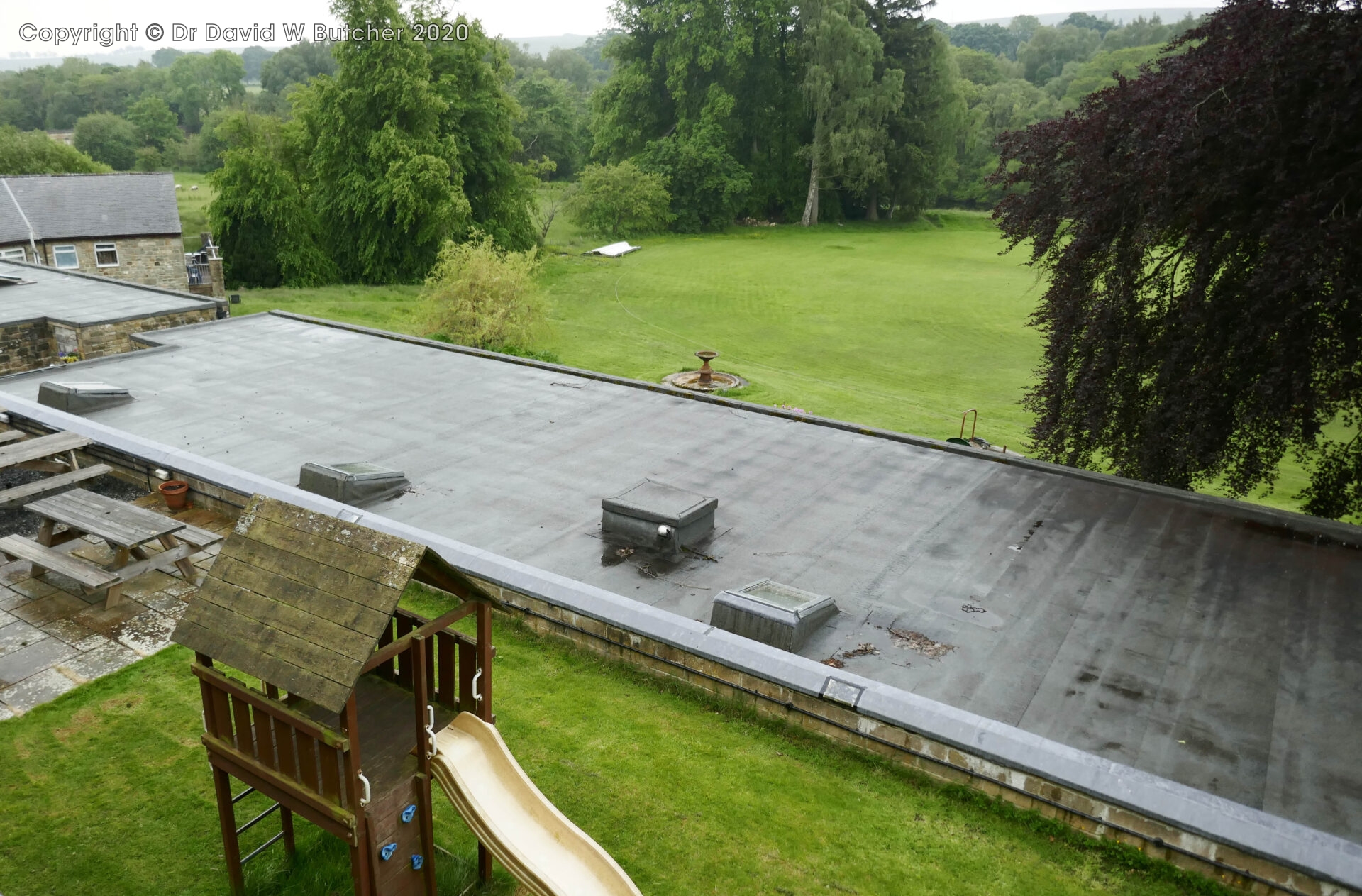
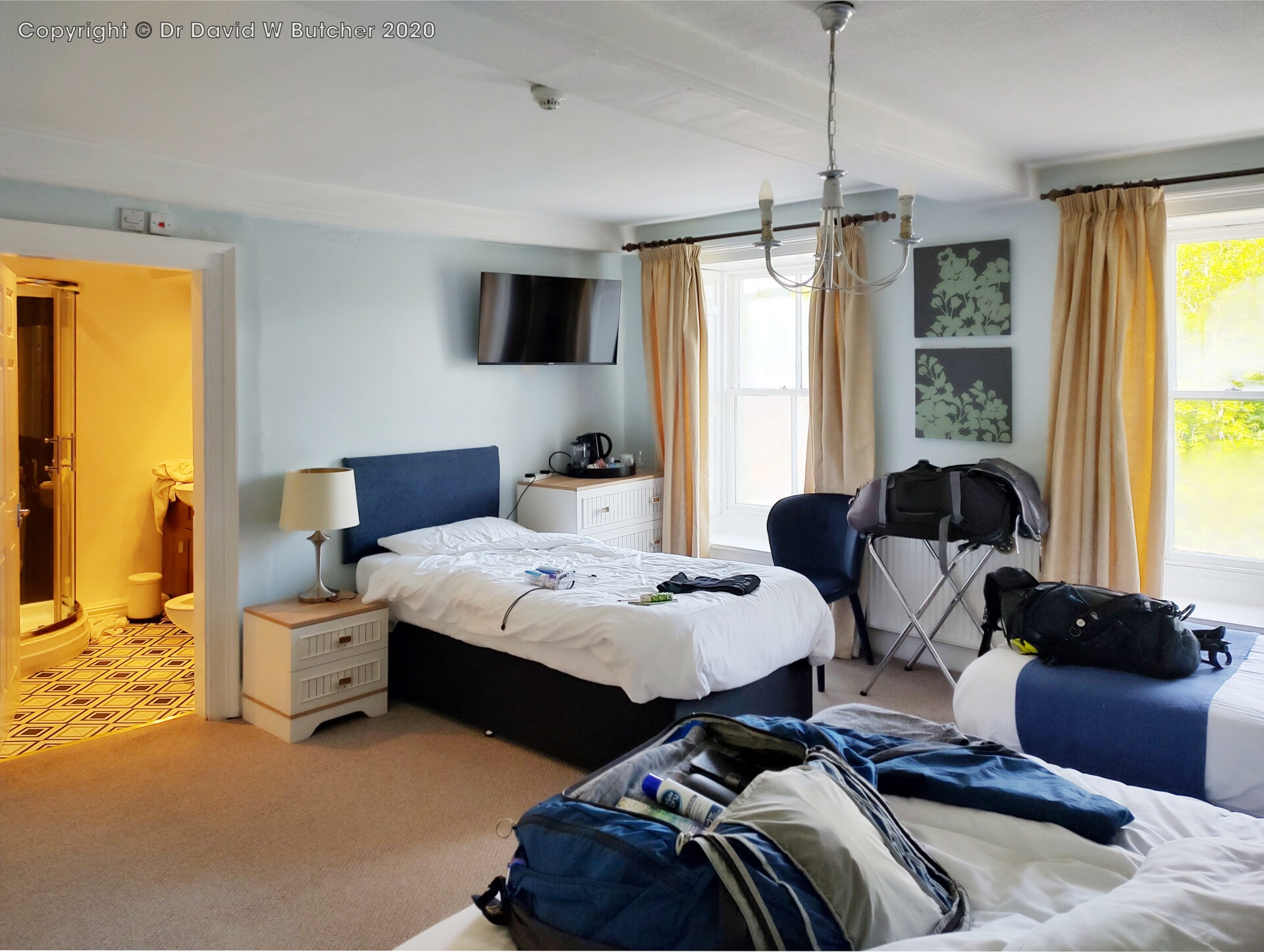
We checked into the hotel at 5.30pm and were in room 2, a huge twin room, with French doors leading out to a balcony overlooking the hotel cricket ground. This was definitely the best room of the trip but it was also the most expensive.
Coincidentally, the hotel also sold First and Last Brewery beers, even though when we asked the staff at the tap room they said the hotel didn’t sell it.
16.6 miles, about 6¾ hours excluding brewery diversion.
Friday 7th June 2024 Bellingham to Once Brewed
Day 4 15.7 miles 7.2 hours
Breakfast was good, lots of it and fast service so we were away by 9am. It was sunshine and showers from the start so we put on full waterproofs before venturing outside.
At 11am and 4.8 miles we stopped at Low Stead for a bite to eat. I just had a chocolate bar. There was a conveniently placed chair at the side of the track so we had a sit down for a short break too.
At 1.10pm we stopped for lunch in a sheep byre on Haughton Common between Currick and Hawk Side. This was quite a memorable place for me because this was where I wild camped while backpacking the Pennine Way in 1974.
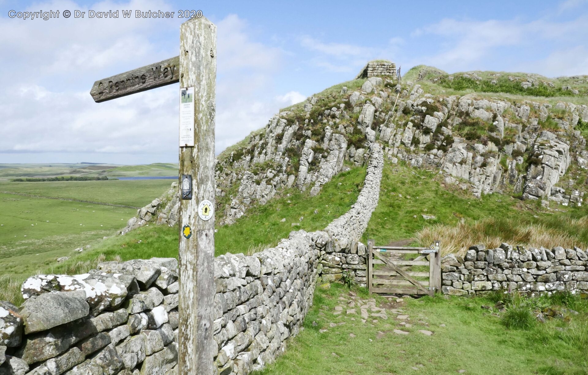
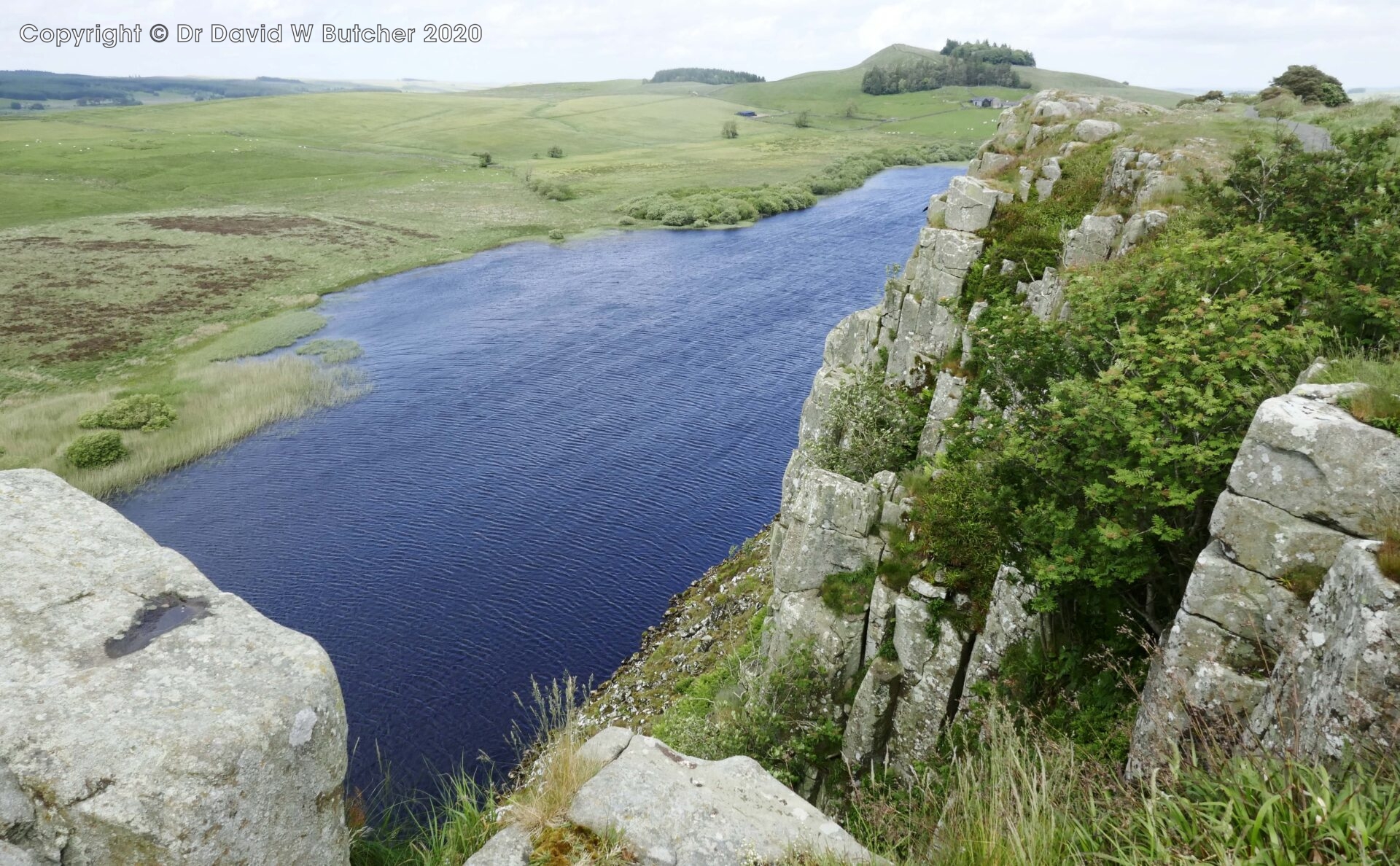
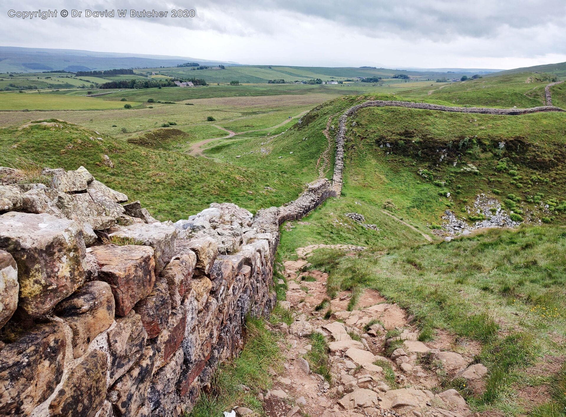
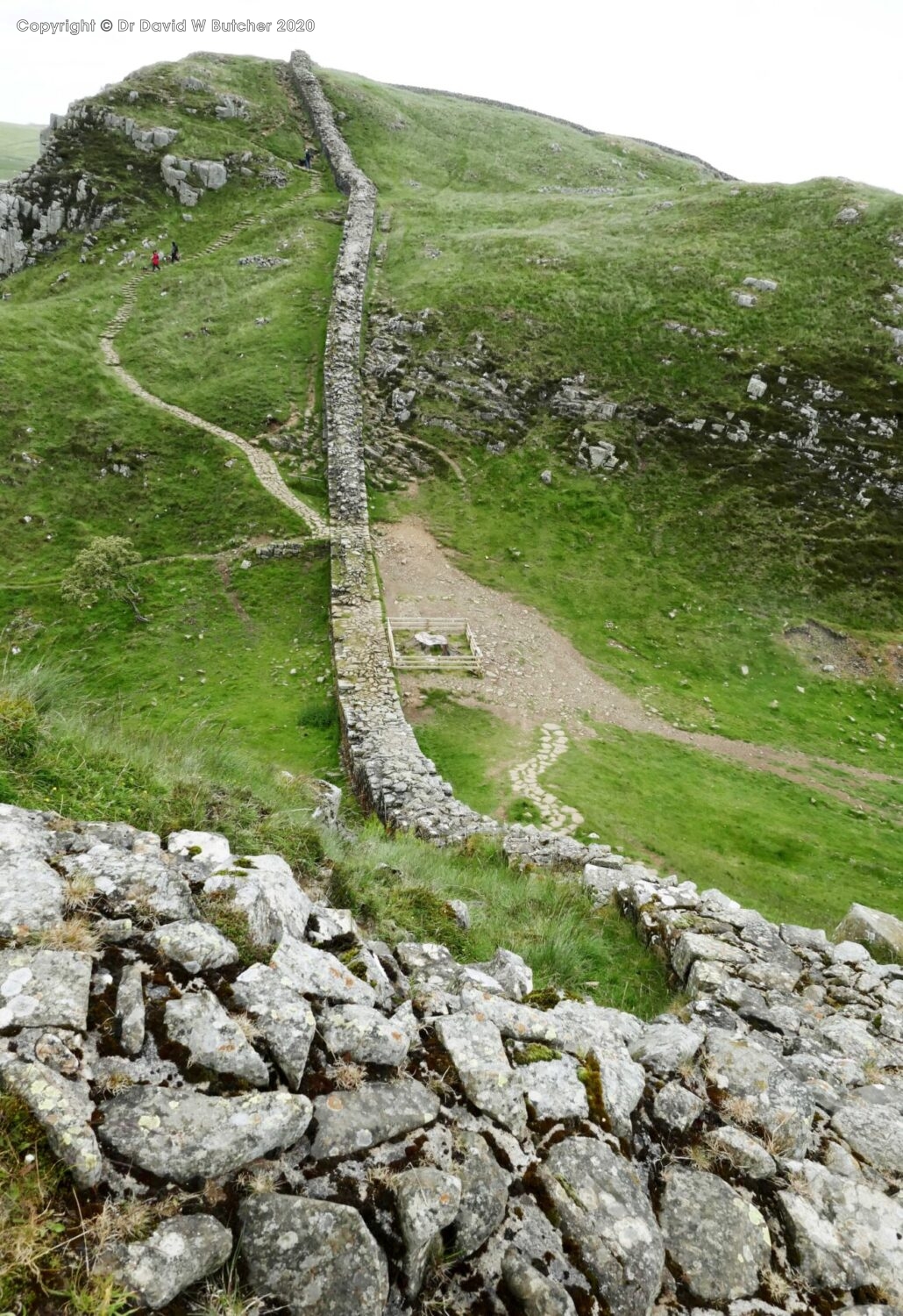
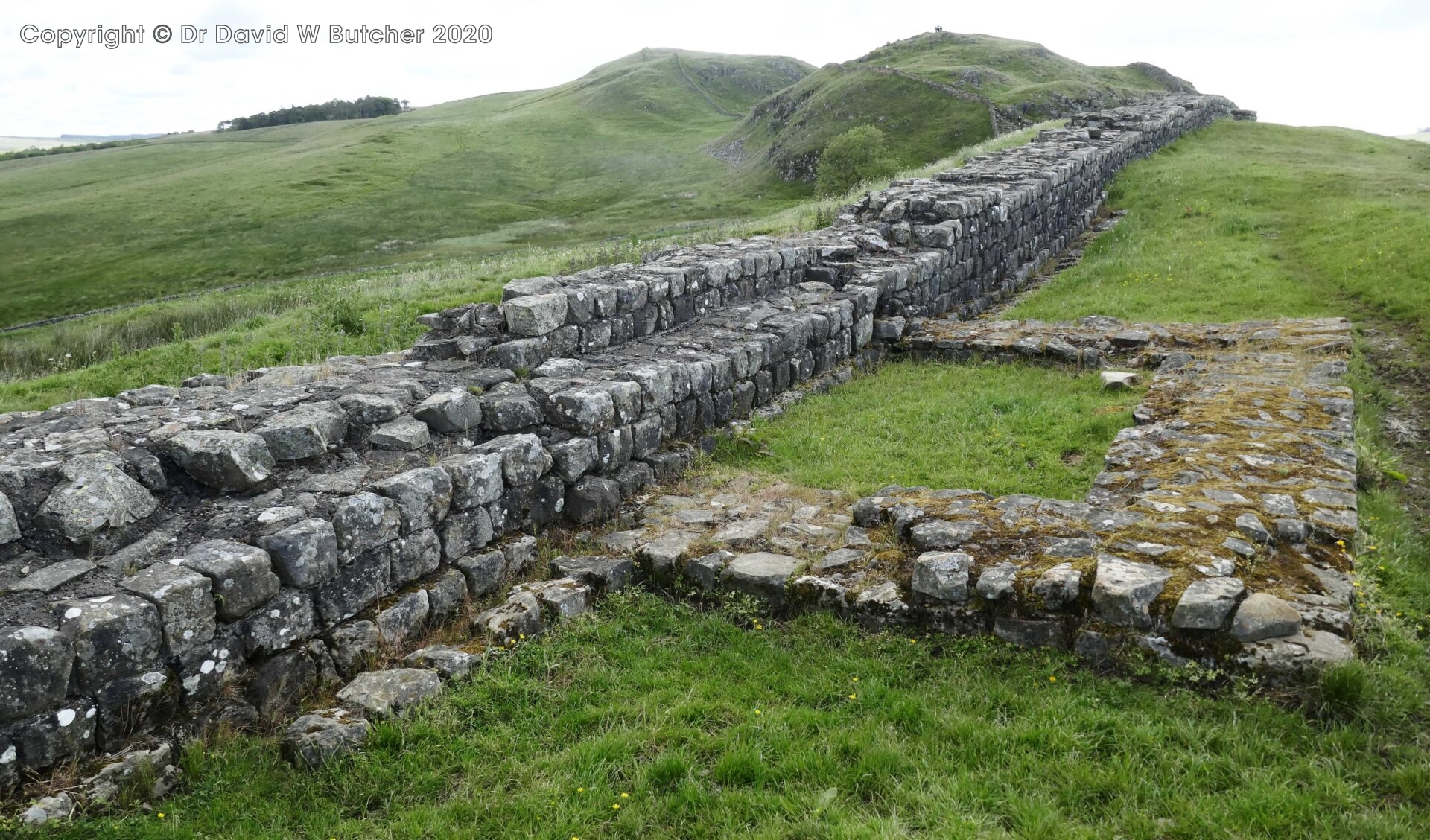
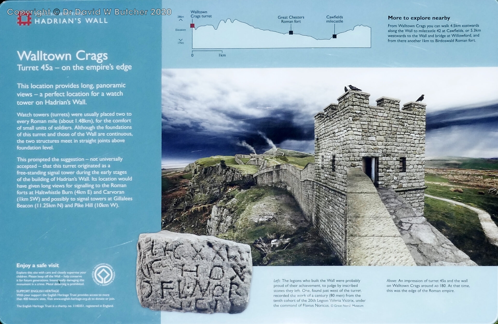
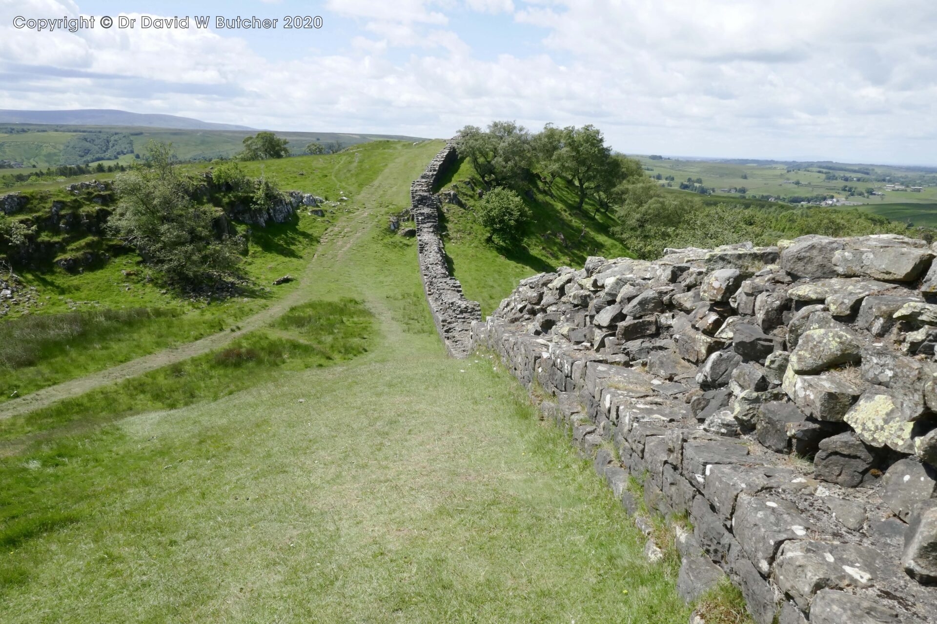
We reached Hadrian’s Wall at 2.55pm, just west of Housesteads Roman Fort and Cuddy’s Crags.
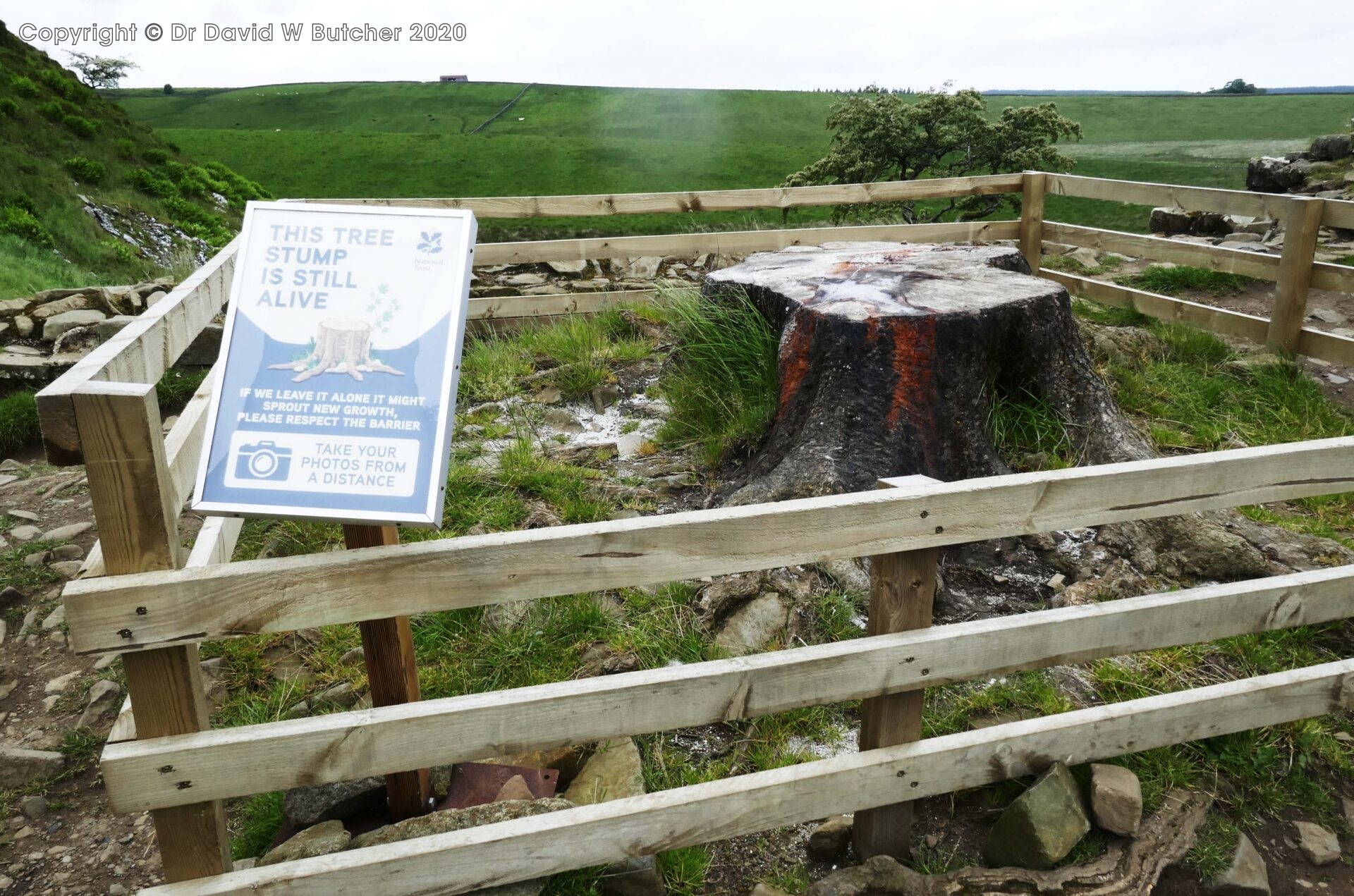
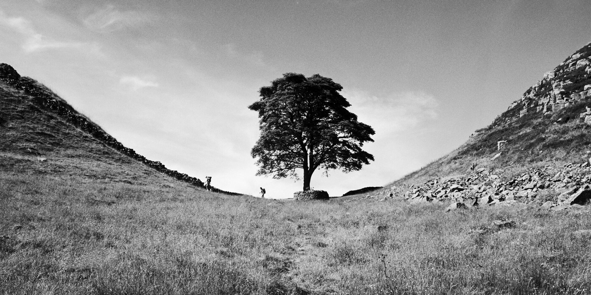
At 3.40pm we walked down to what should have been Sycamore Gap but it looked a bit sad without the tree. A mindless act of vandalism cut the 150 year old tree down on 23rd September 2023.
This is what it used to look like. I took this in July 2006 on the way back from taking landscape photographs along the Northumberland coast for my portfolio.
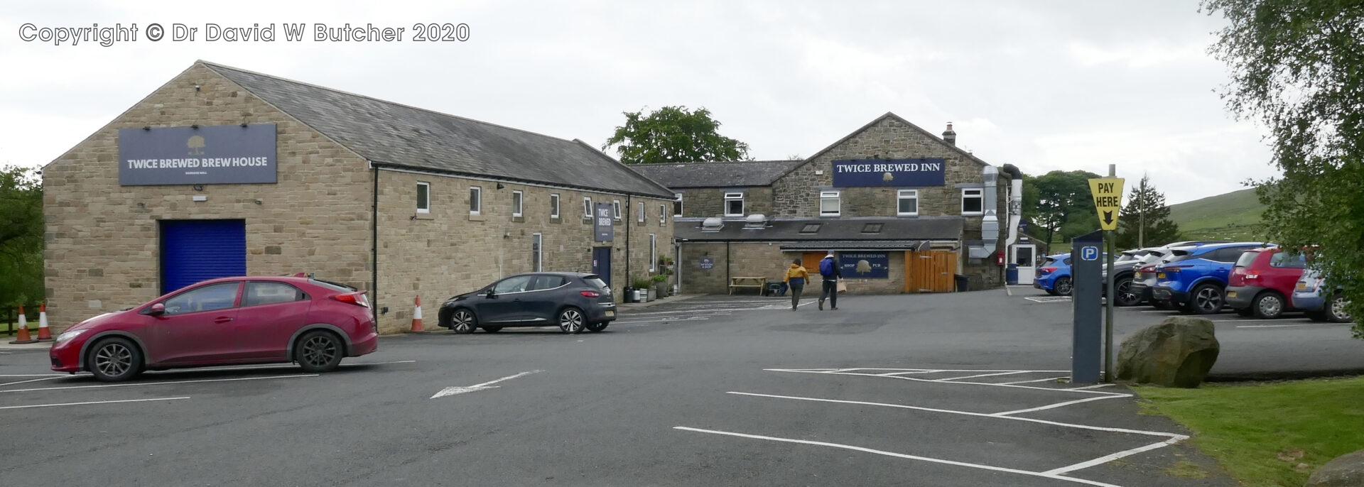
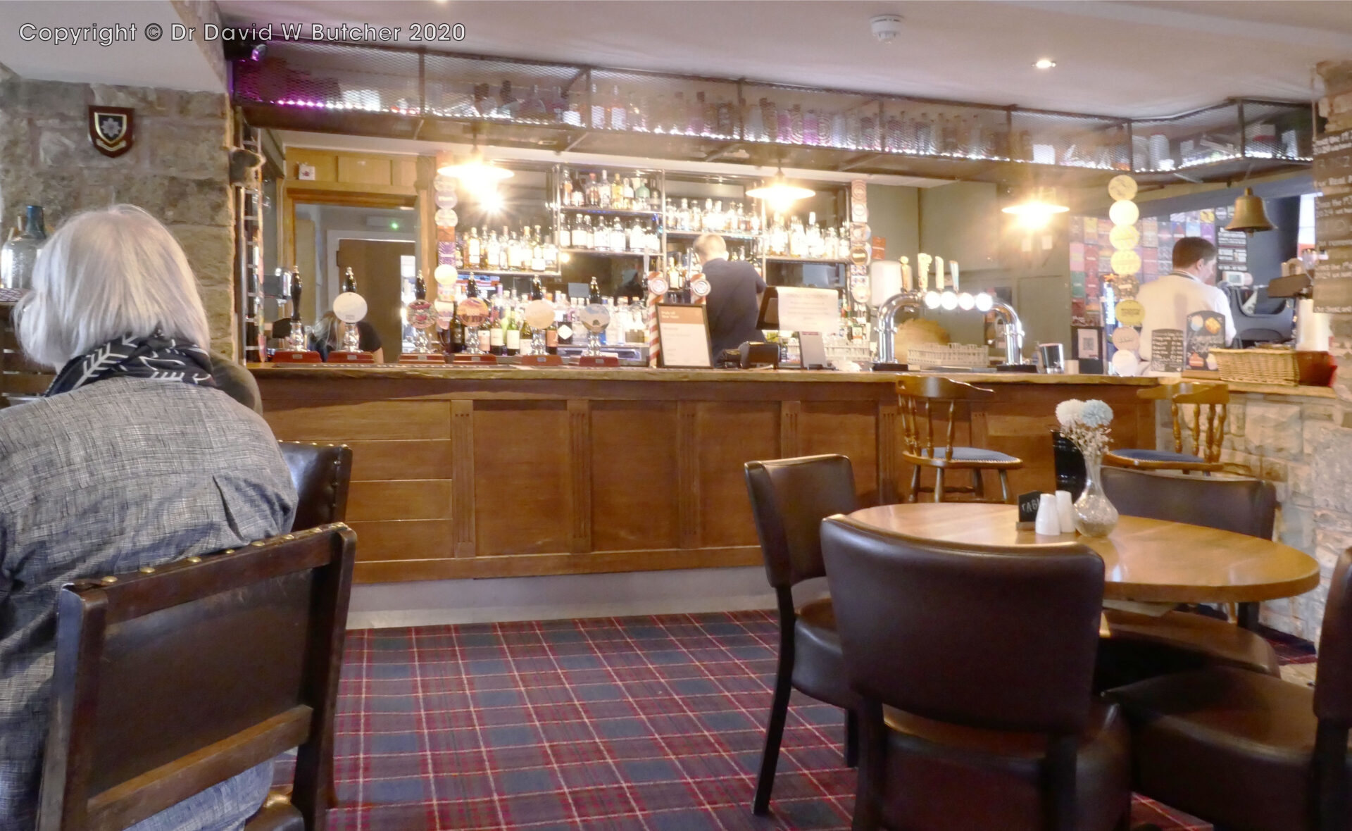
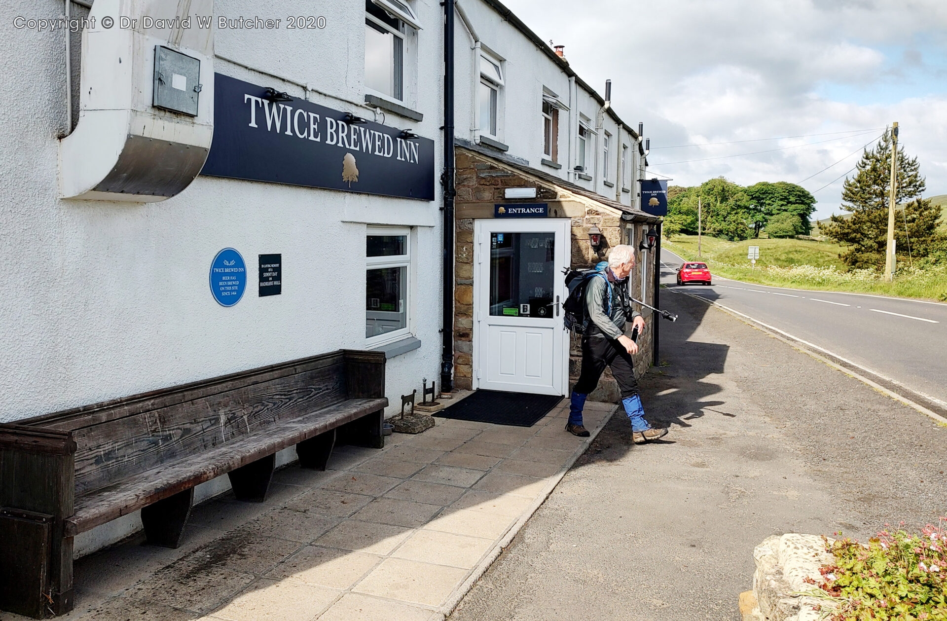
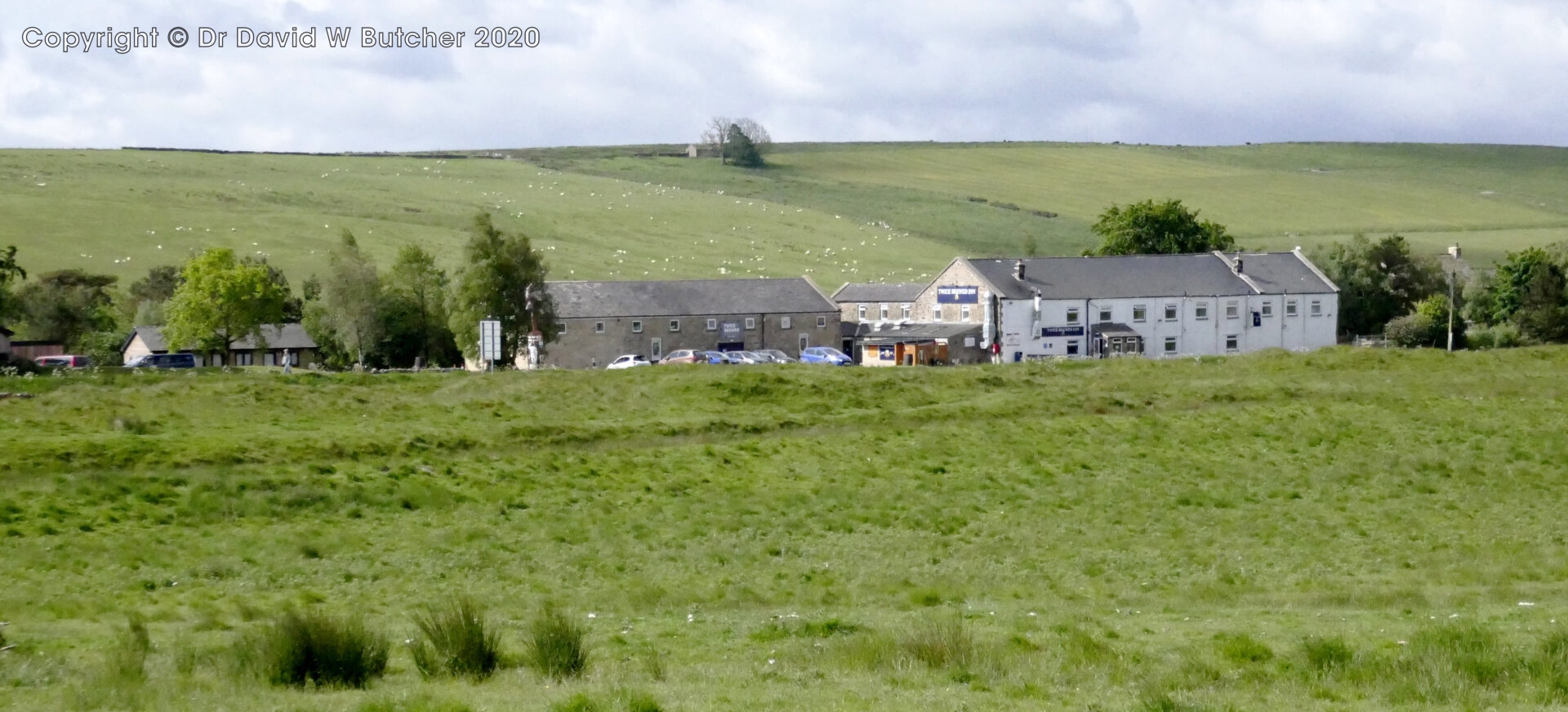
At 4.10pm we walked into Twice Brewed Inn where we had a room booked. We went straight to the bar before checking in. The Twice Brewed Steel Rigg Porter was very good.
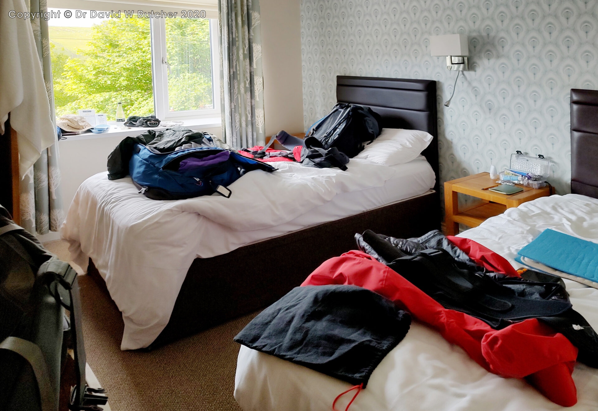
We stayed in room 2 (same number as the hotel in Bellingham last night) but this one was a tiny twin room at the Twice Brewed Inn just south of Hadrian’s Wall. It was so small that Al could just reach over from his bed to hit me every time I snored. It was probably the smallest room for 2 people I’ve stayed in for a long time. Unfortunately, they have a captive audience as, apart from the hostel next door, there’s no alternative in the area if you’re walking.
15.7 miles in 7¼ hours, 1400ft (425m) of ascent with 2.7 mph average moving speed.
Saturday 8th June 2024 Once Brewed to Greenhead
Day 5 7.8 miles 3.8 hours
I had to do my morning back exercises and stretches on the bed as there wasn’t any spare floor space. However, the breakfast was good being both a cooked breakfast and buffet.
At 9.15am we left the hotel and in 10 minutes had retraced our steps back to Hadrian’s Wall.
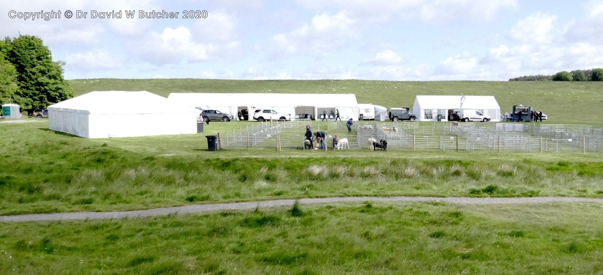
Just after this, at Steel Rigg, there was a country showground which looked like it was about to open to the public. We didn’t stop.
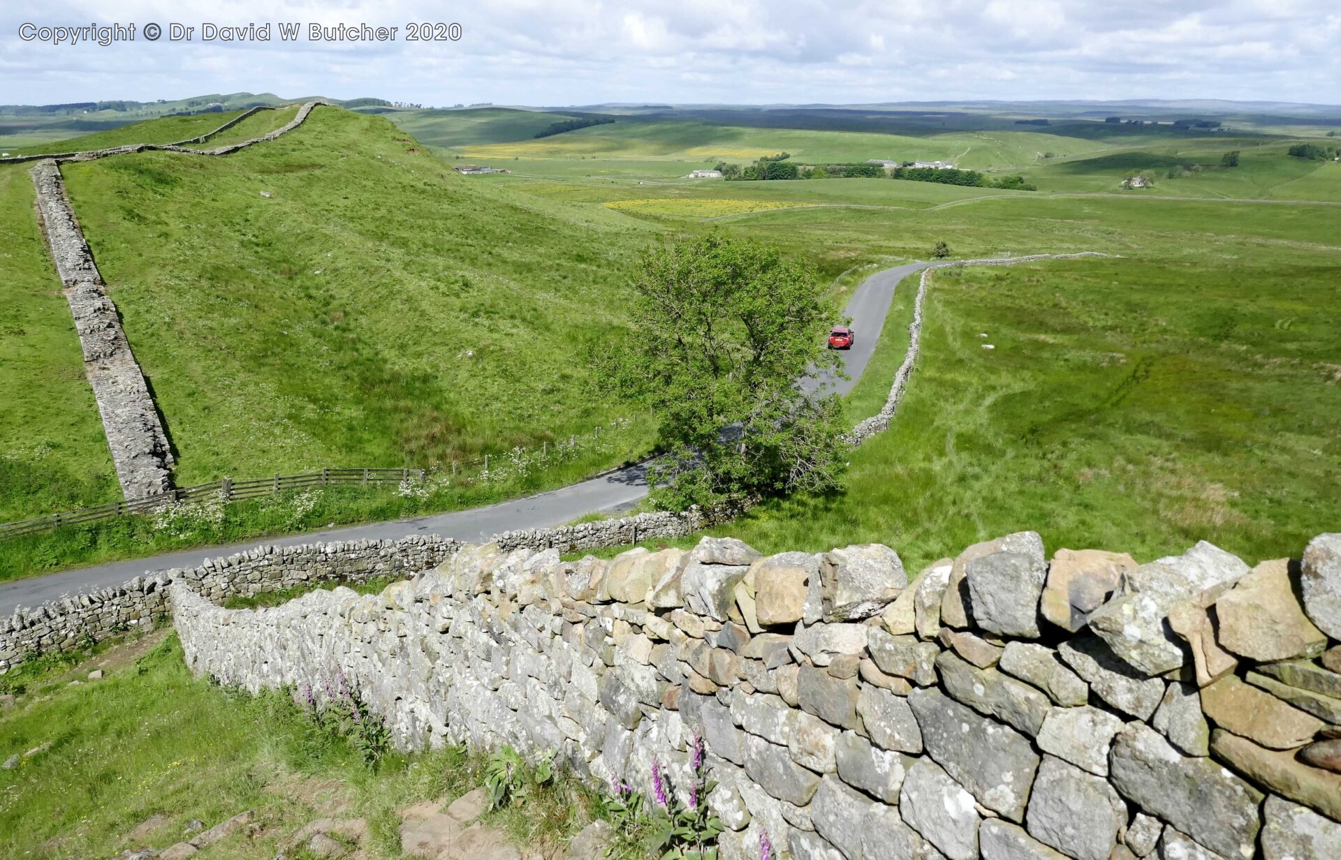
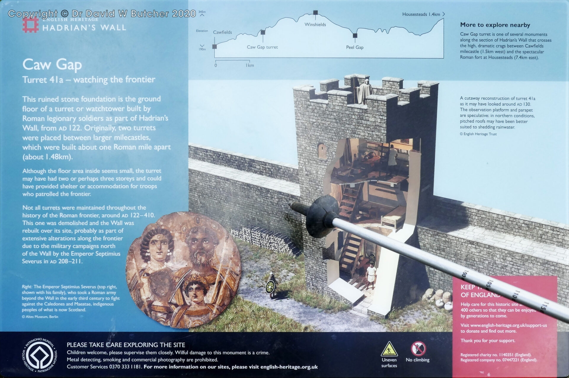
A bit later we reached the road at Caw Gap. The wall climbed away quite steeply on both sides of the road.
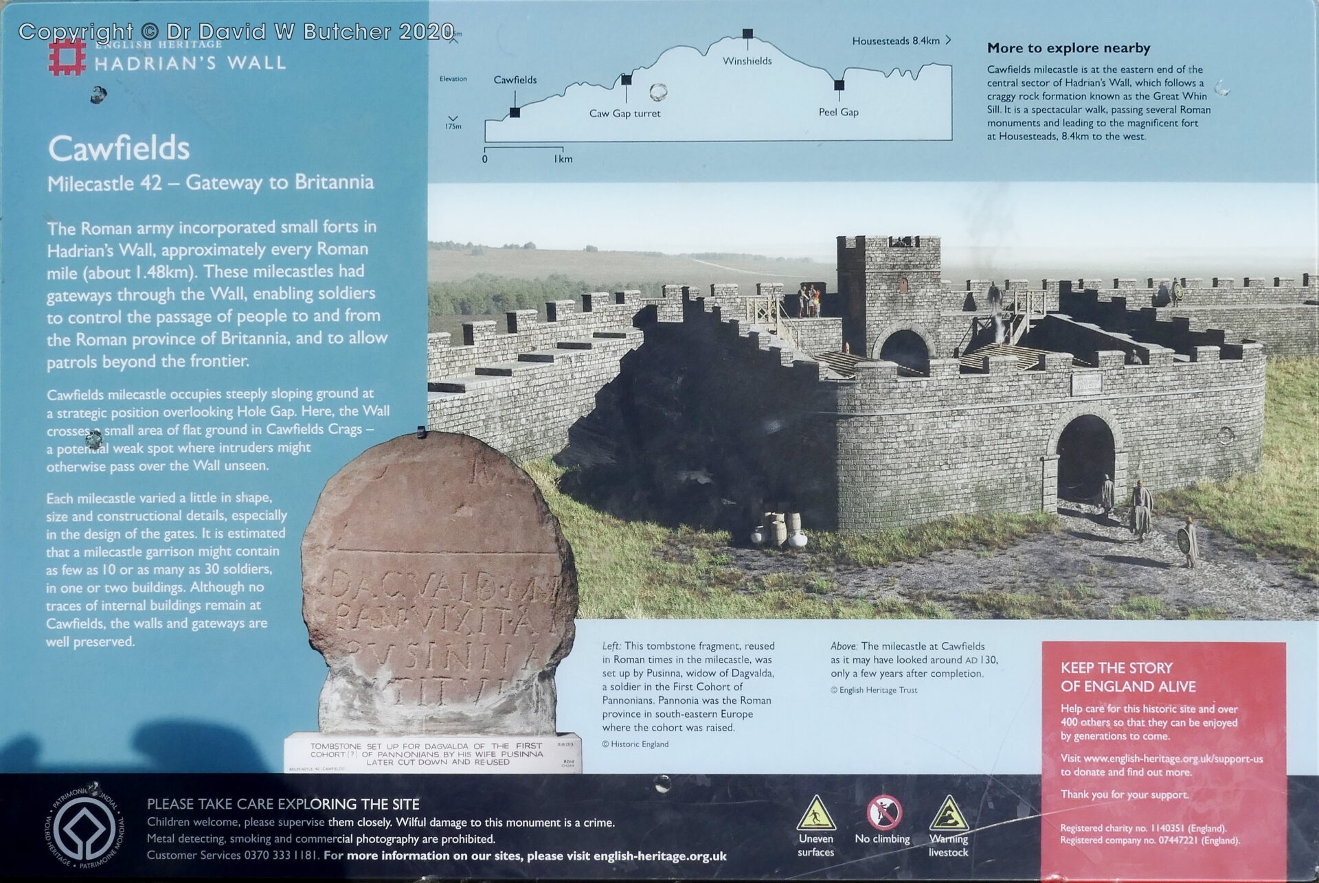
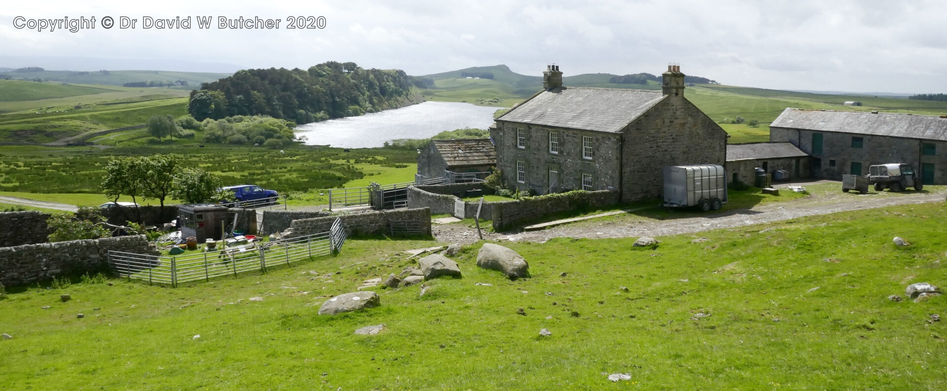
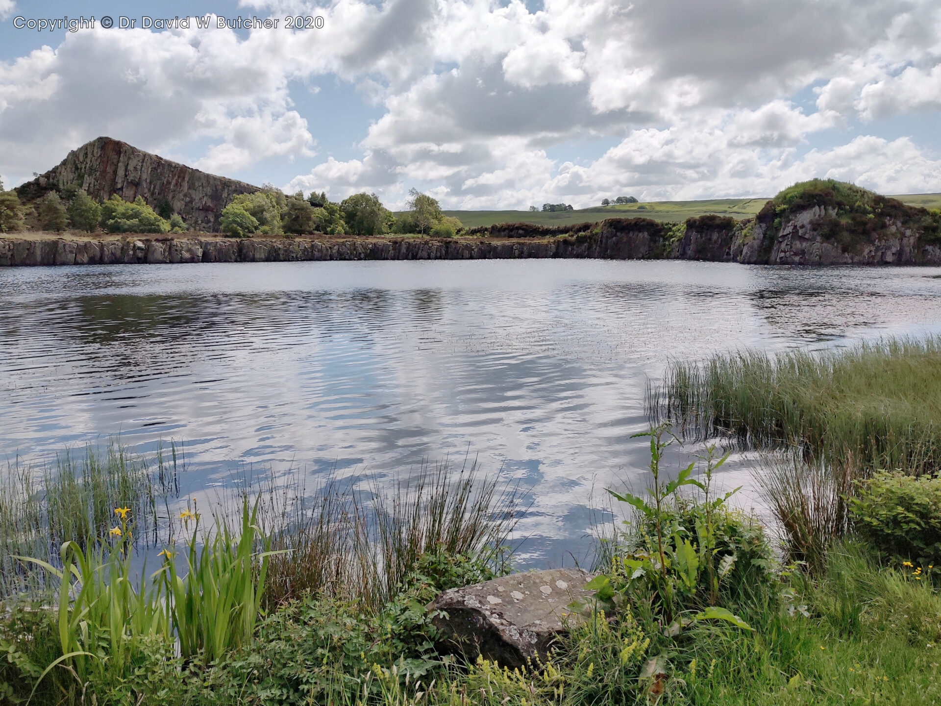
Shortly after leaving Milecastle 42 the path descended to a track to Cawfields Quarry, now flooded and used as a recreation area and car park.
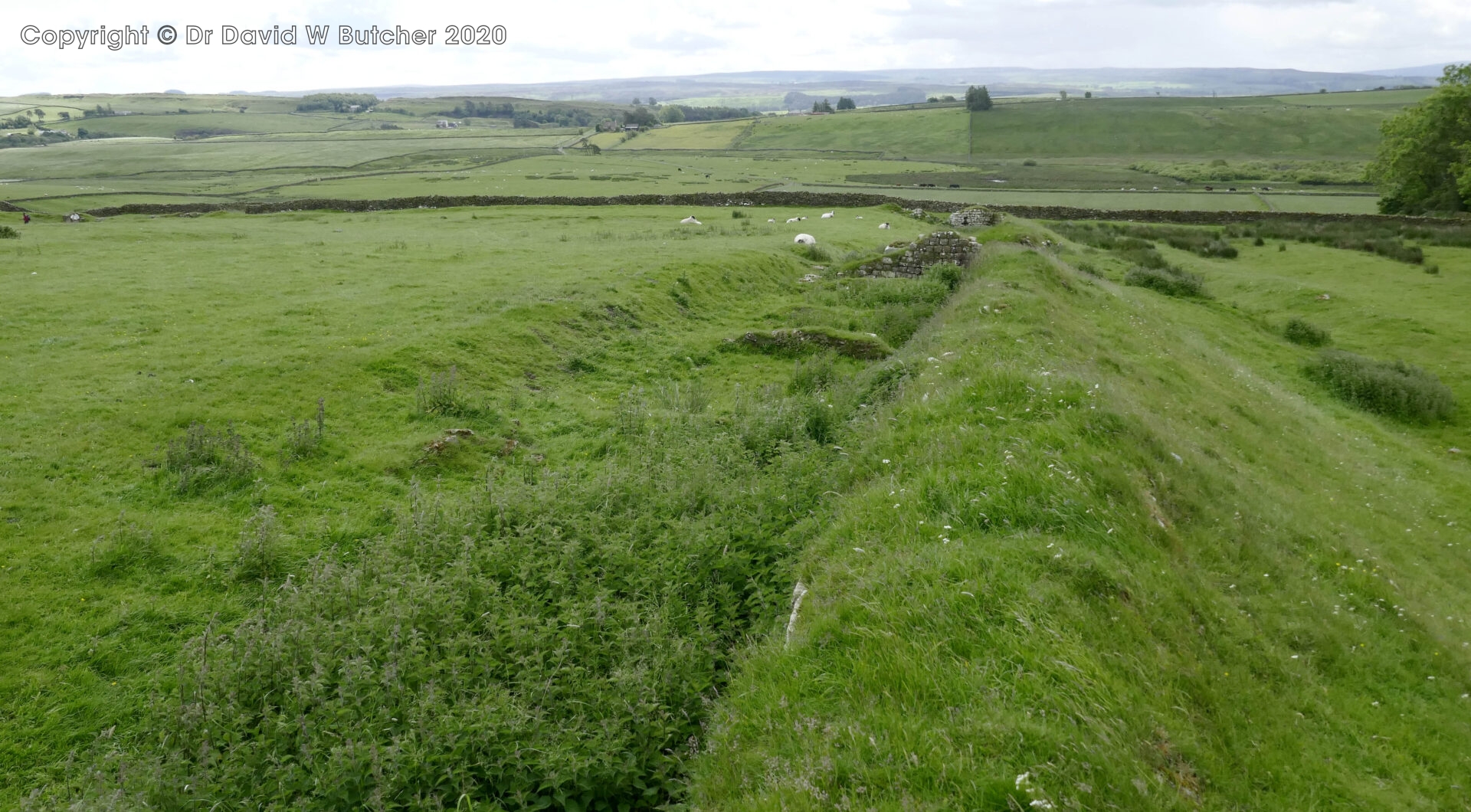
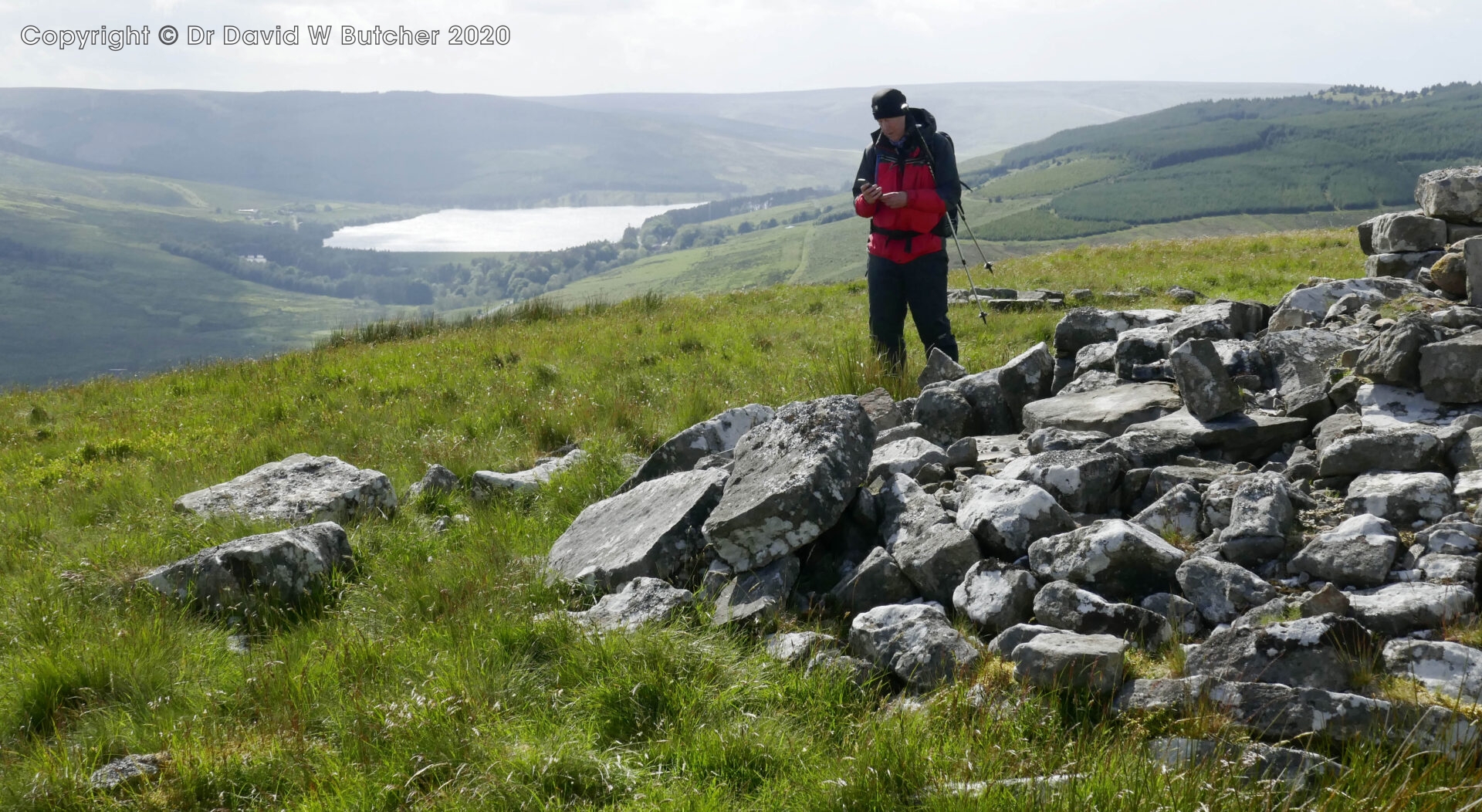
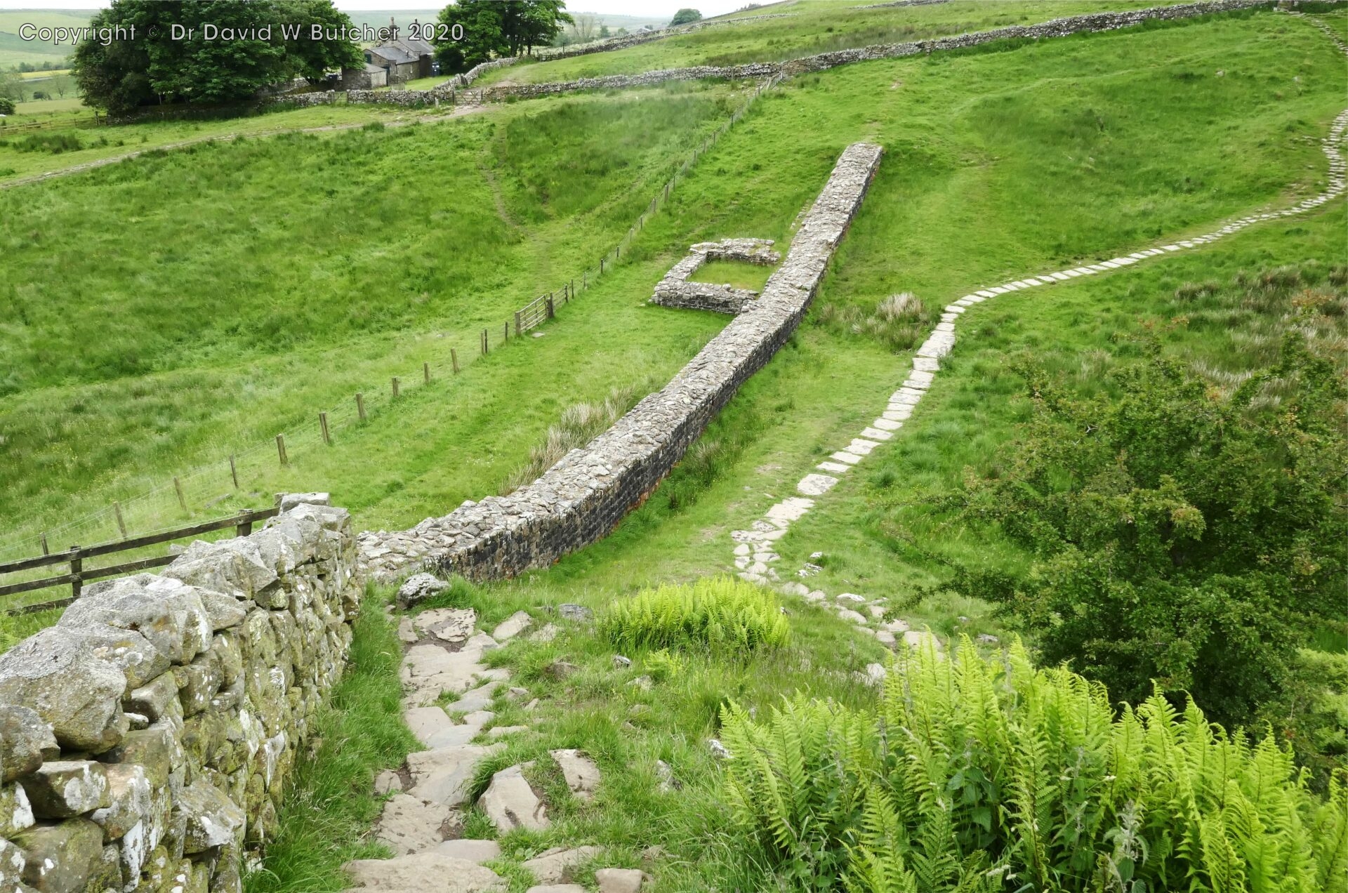
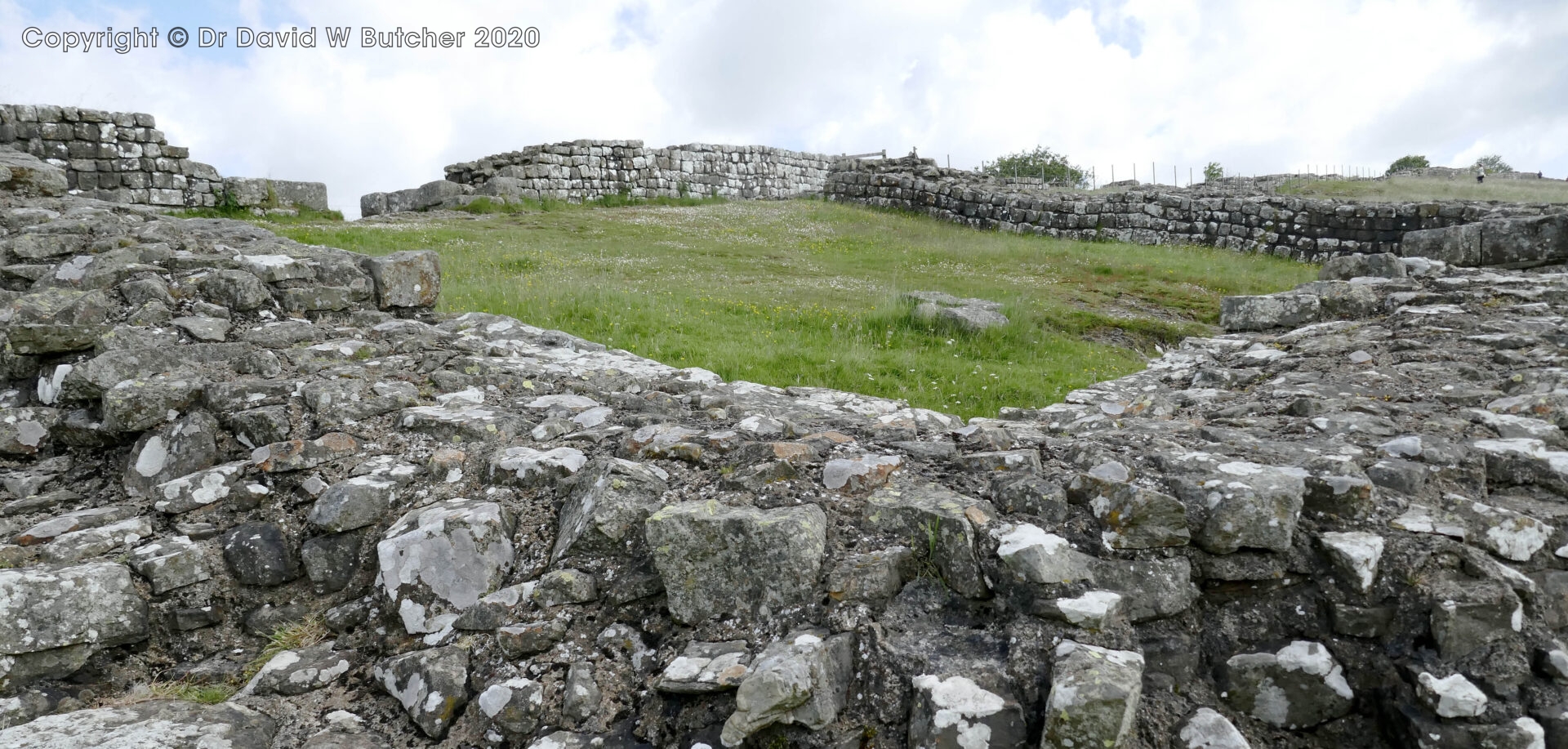
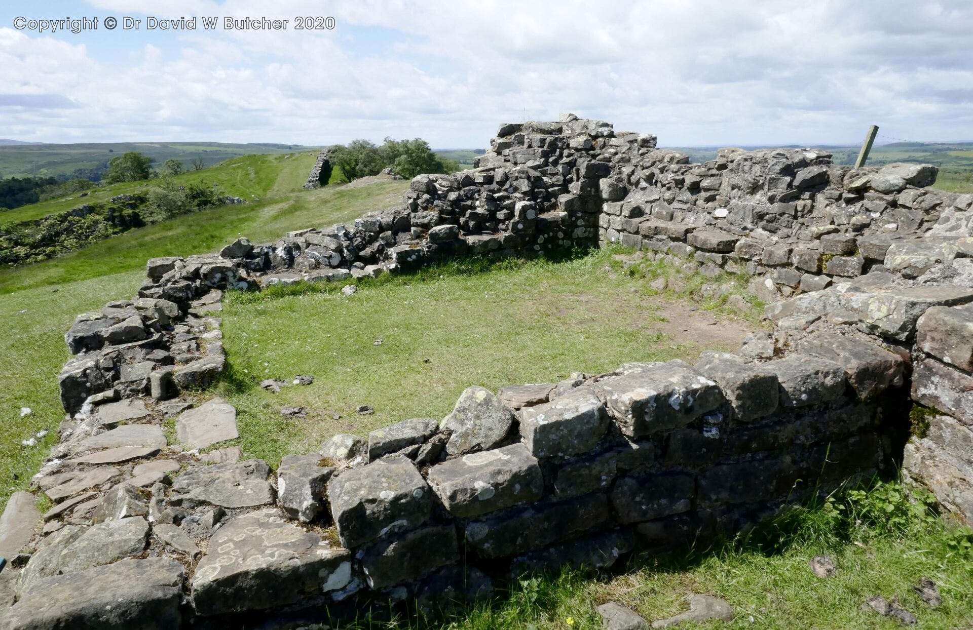
There was no information or active archaeology going on that we could see at Great Chesters Fort. The site was very large but obviously part of a working farm. There were very few areas visible above the greenery, just the odd bit of stone wall here and there. The outline of the fort was very clear though.
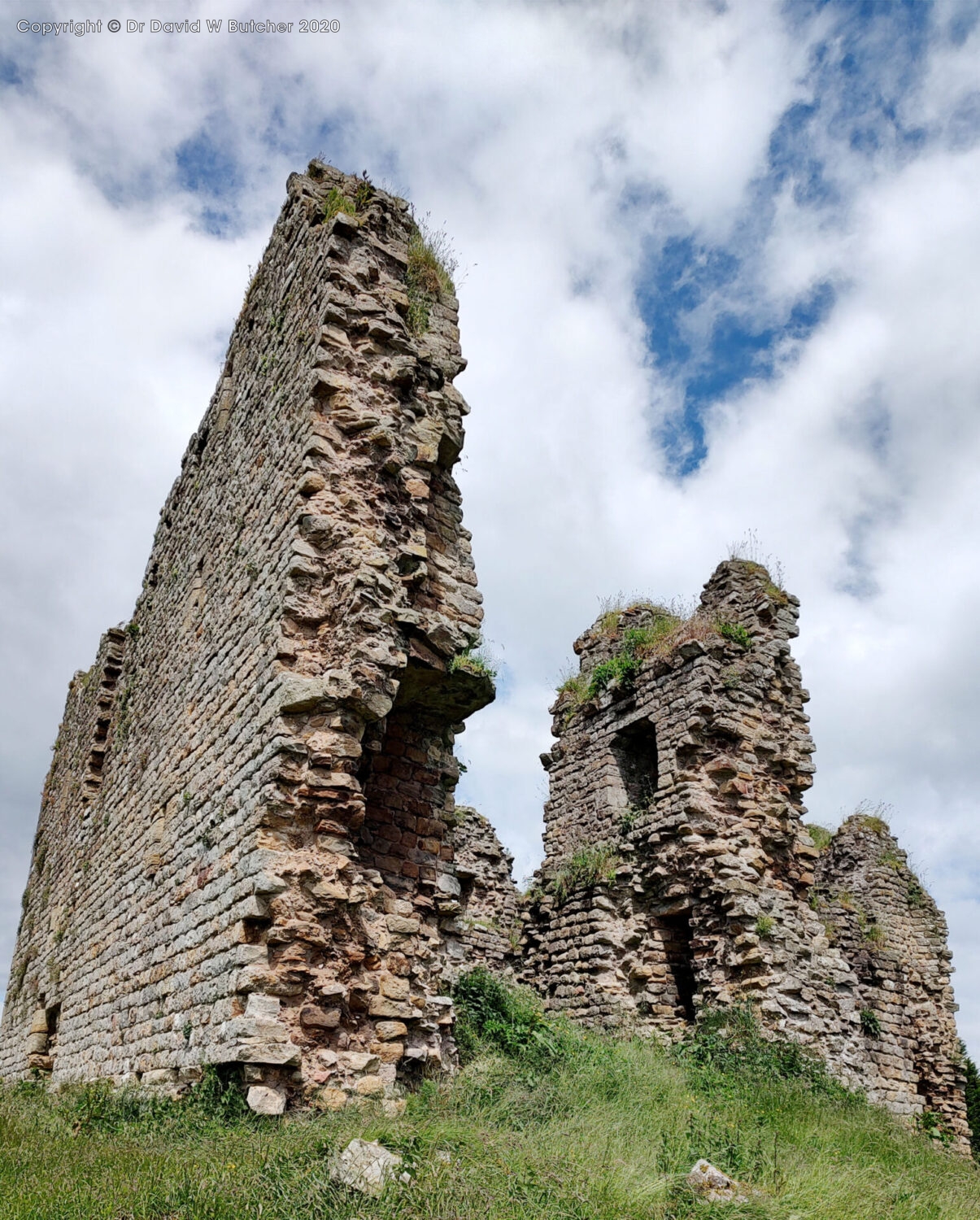
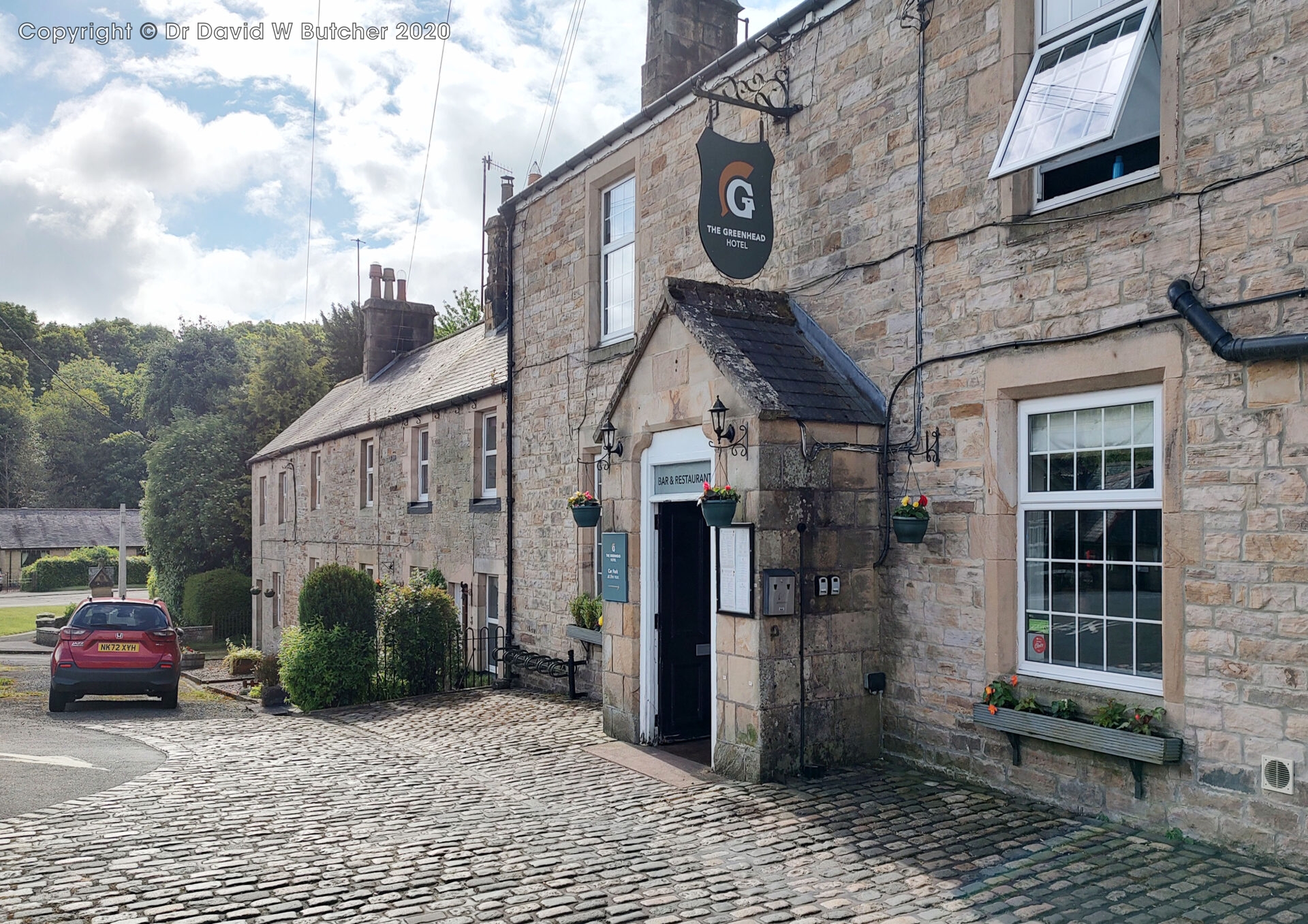
We reached the Greenhead Hotel soon after Thirlwall Castle ruins. It was just a half mile detour from the main route.
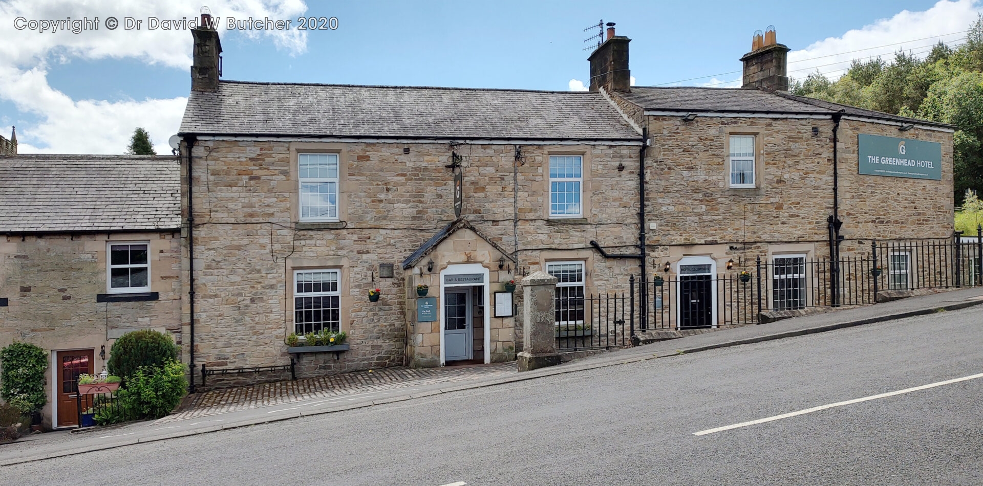
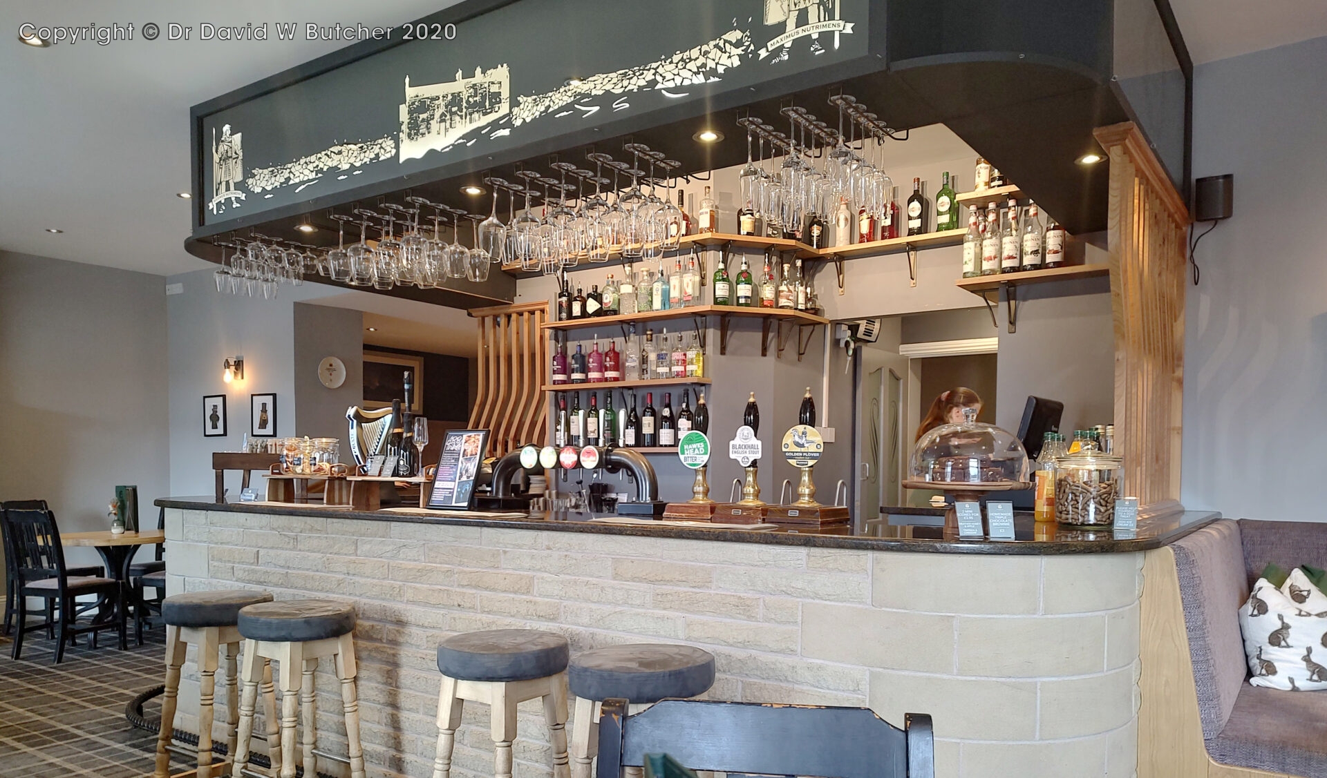
I had a Blackhall English Stout, another very nice beer.
When I backpacked the Pennine Way in 1974 I tried to stay here with my 2 friends. We were soaked through and just wanted somewhere to dry off. The receptionist was just finding us a room when the hotel manager came along. He asked what was going on, the receptionist told him, and he instantly said they didn’t have a room. He left us in no doubt that he didn’t like the bedraggled look of us. Unfortunately, that also meant that we had to walk another 2 miles to Gilsland to find a bed and breakfast to stay, making it a 21.5 mile day.
Luckily, times have changed and Al and I weren’t bedraggled so they let us in.
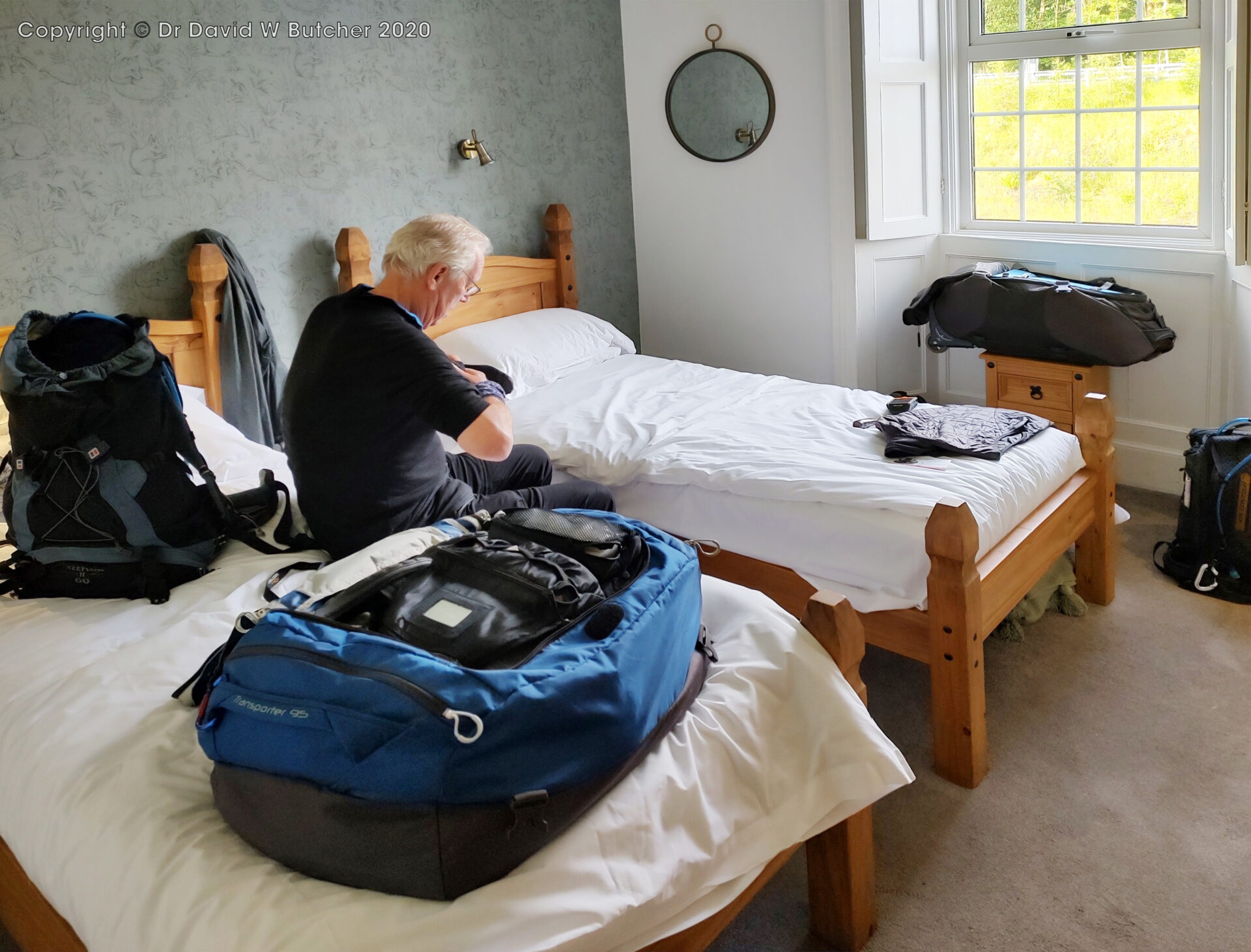
We stayed at the Greenhead Hotel in a very comfortable room to the rear of the hotel. The restaurant was busy in the evening but they managed to fit us in and we had a tasty meal.
7.8 miles in 3¾h with 630ft (195m) ascent at 2.6mph average moving speed.
Sunday 9th June 2024 Greenhead to Alston
Day 6 17.5 miles 8 hours
The cooked breakfast was good and set me up for the day. Then we packed our bags and Al took them down to reception ready for Brigantes to pick them up and take them to Alston.
We left the hotel at 8.50am in the sunshine, but it was chilly. It stayed dry all day.
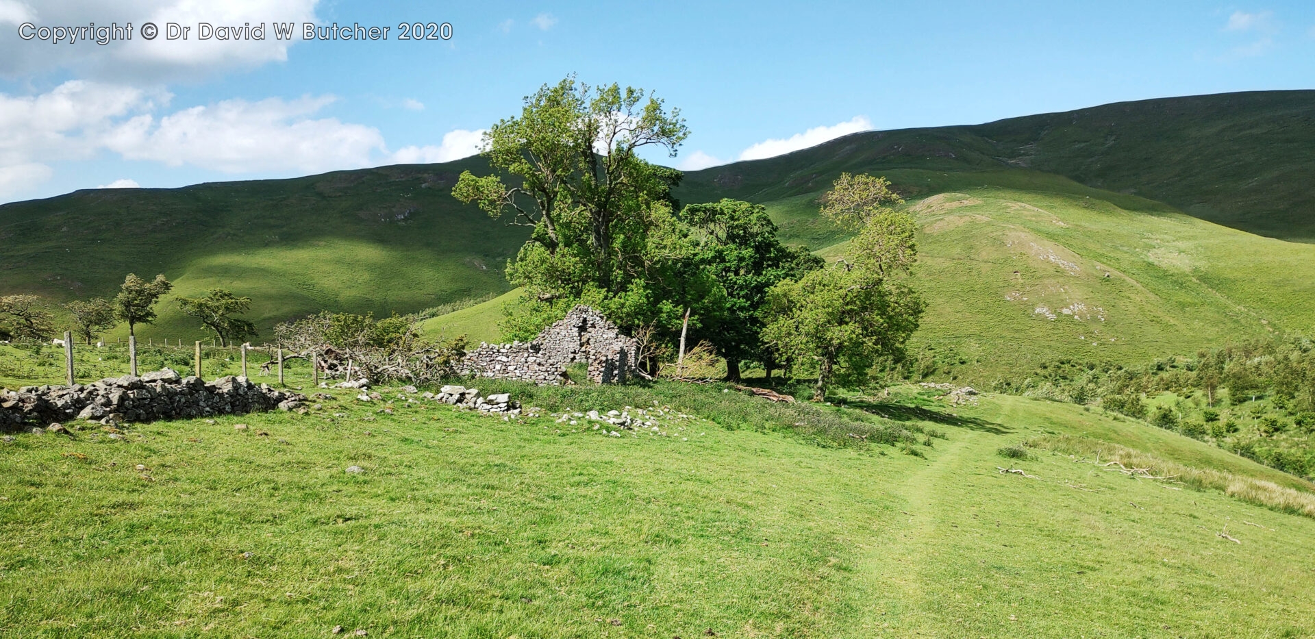
At 11.20am we stopped for a short break at a ruined barn after Hartley Burn. It was cold, dry and windy.
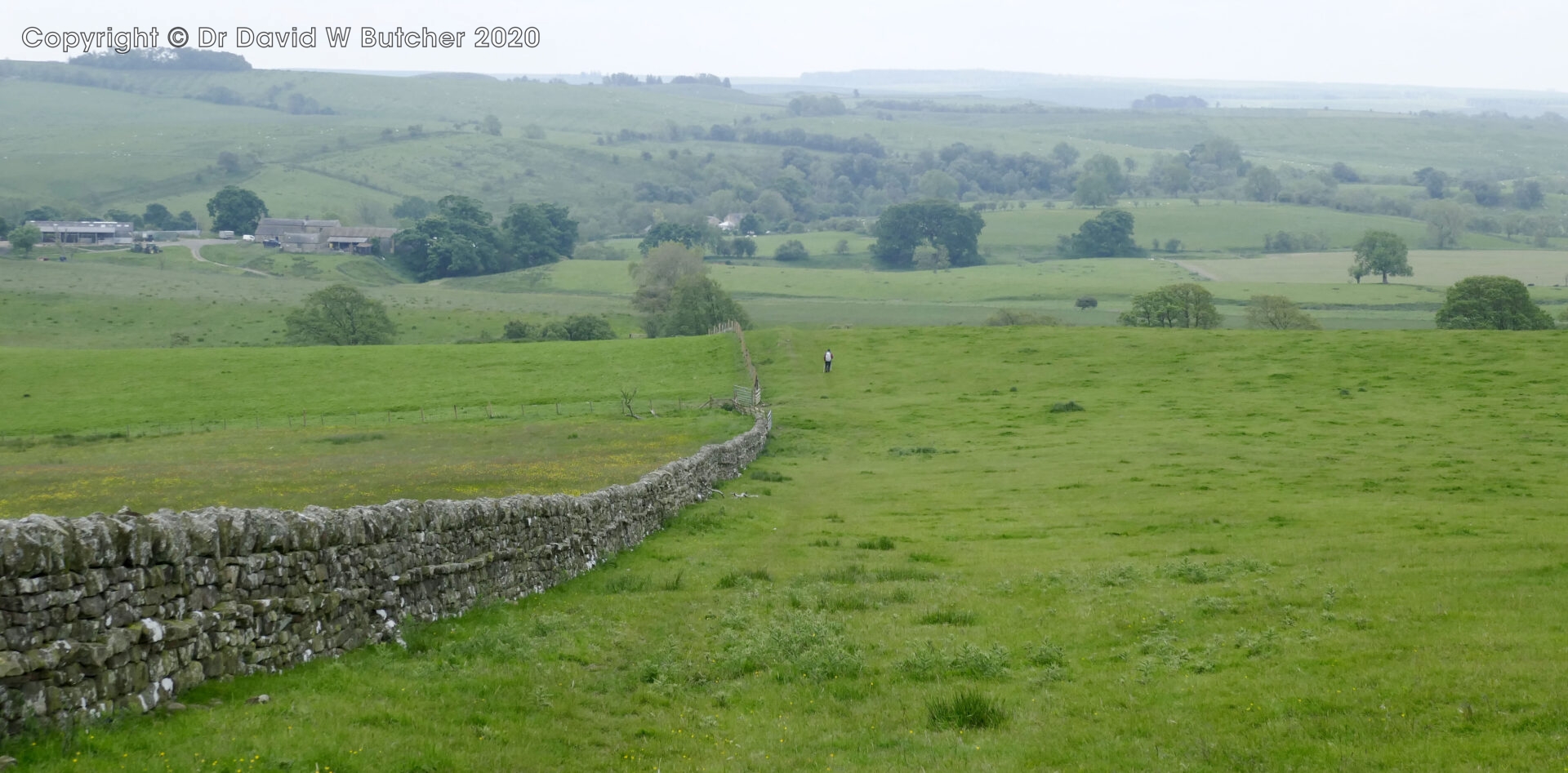
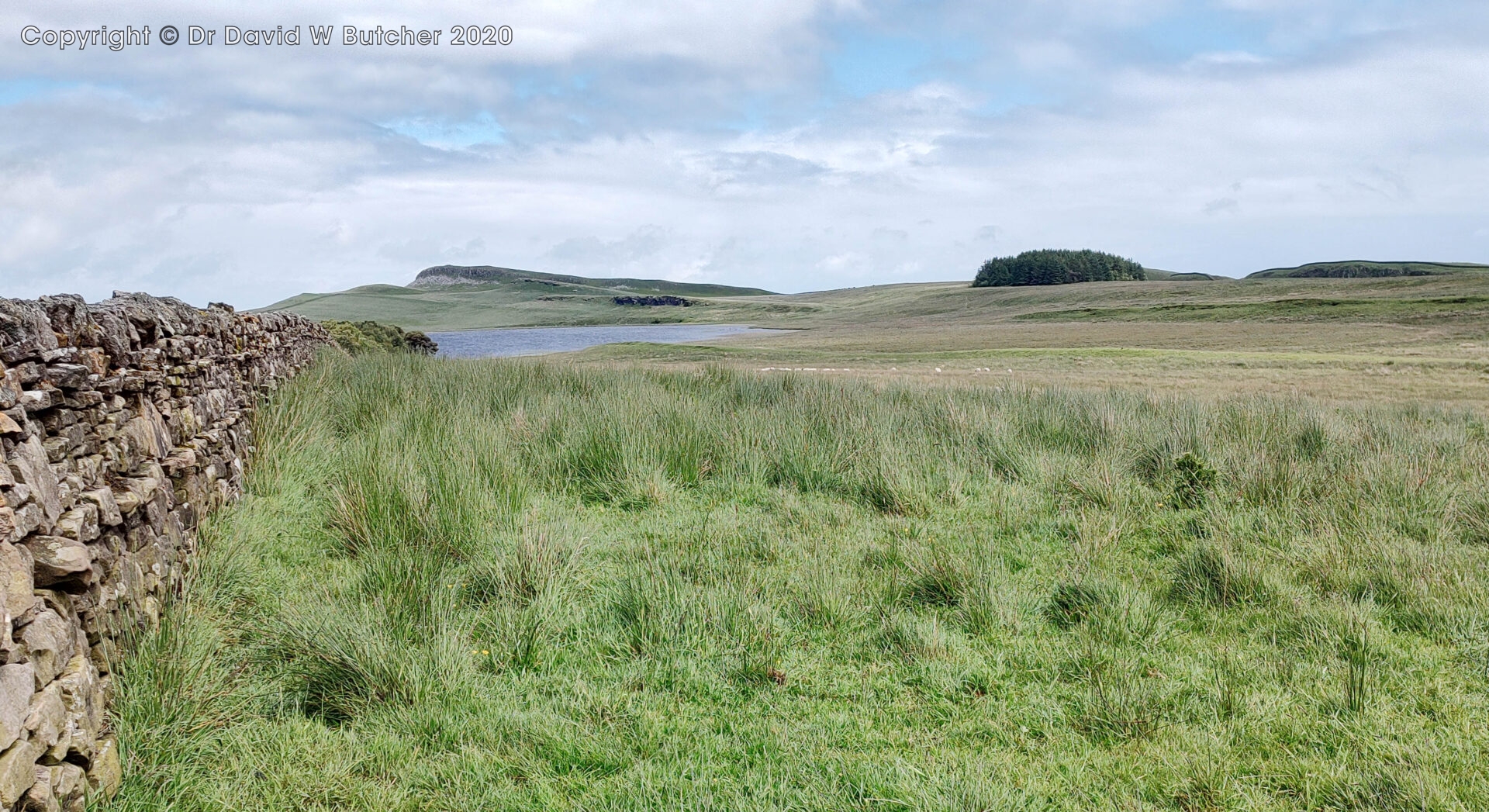
We soon crossed the A689 and were walking over moorland with few good features to pick out.
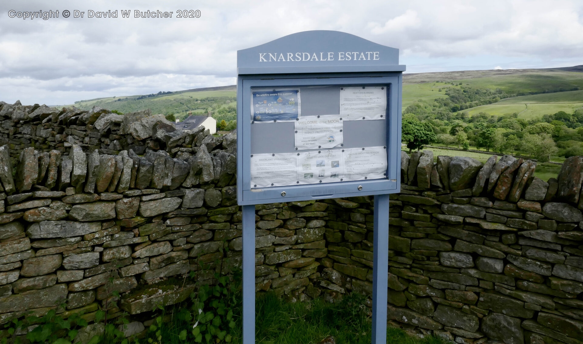
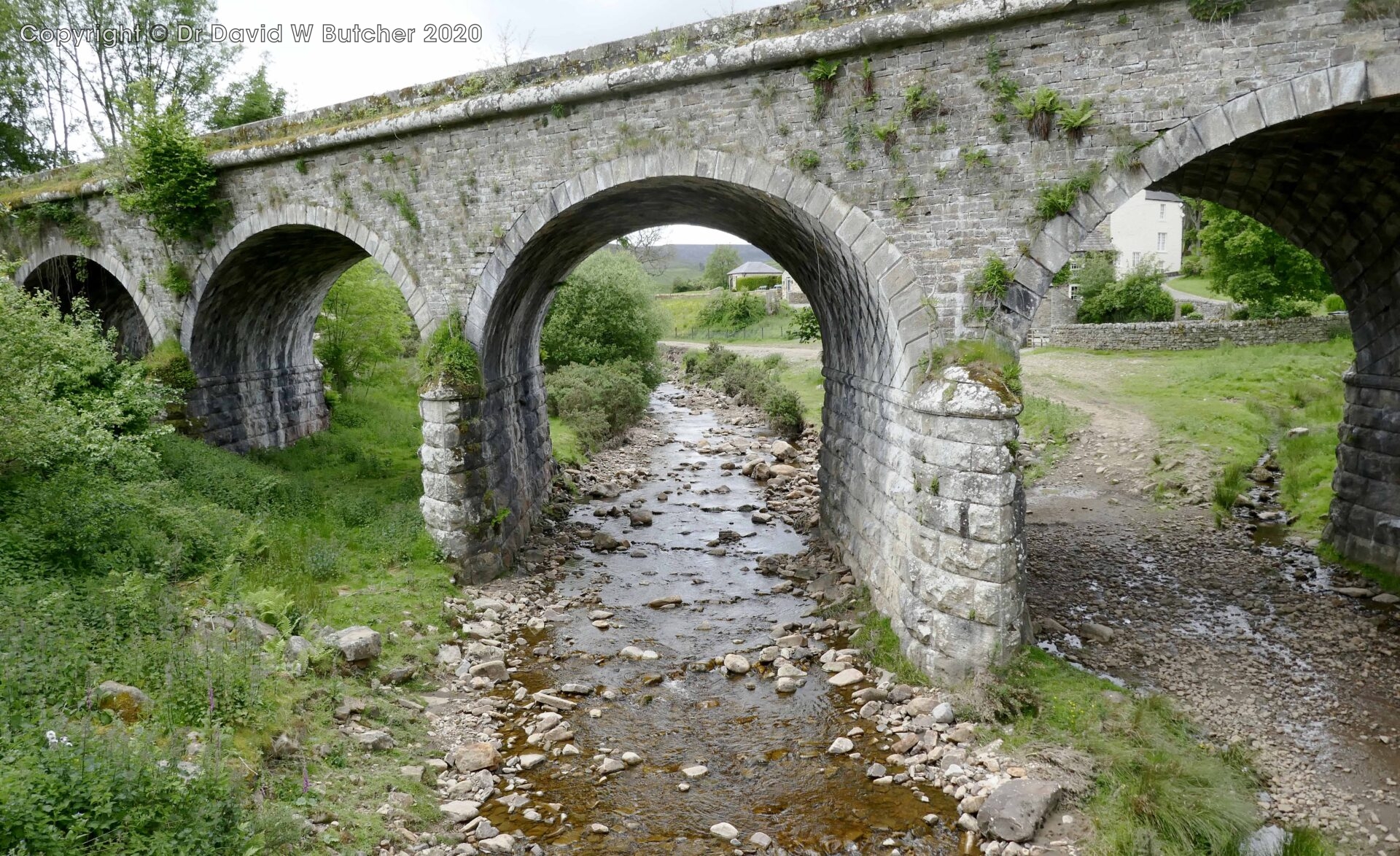
We could see a path through the vegetation beside the road up to the old railway track above and at 1.25pm we were on top of the Burnstones viaduct near Knarsdale Hall. Al went down to the road below to find out from a passerby where the nearest pub was. With her directions we diverted to the Kirkstyle Inn just up the road. It was marked on the map but we didn’t know if it opened at lunchtime. It was just a few hundred yards off route so we were soon there.
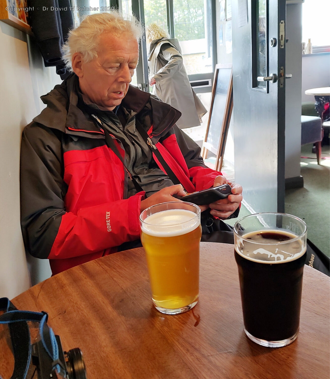
By 1.35pm we were sitting down in the Kirkstyle Inn for a mostly liquid lunch of Corby Ale and a bag of crisps.
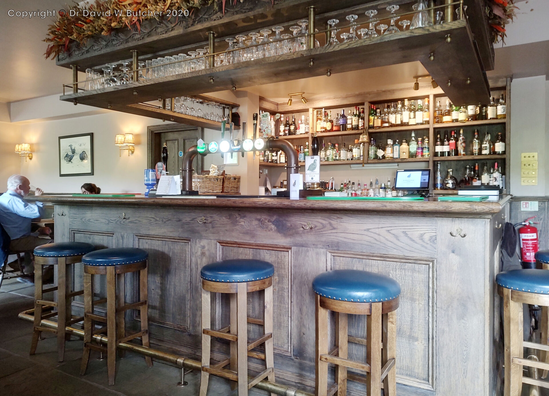
The break didn’t last long as we were on our way at 1.55pm in the sunshine heading back to Burnstones Viaduct to pick up the trail again.
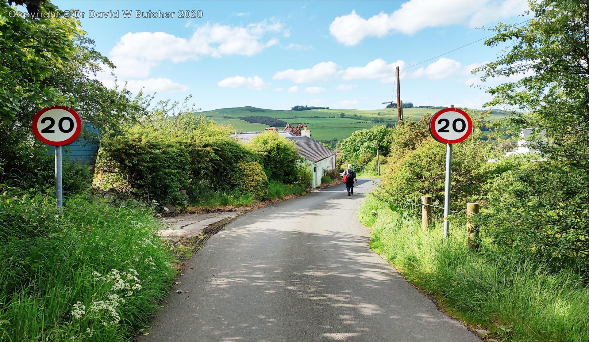
Al had painful feet from blisters on blisters, a common occurrence for him on our long treks. The path from Slaggyford officially crosses several fields to reach Alston but there’s a footpath beside the railway tracks all the way to Alston. This was much easier underfoot such that Al limped into Alston station at 4.25pm.
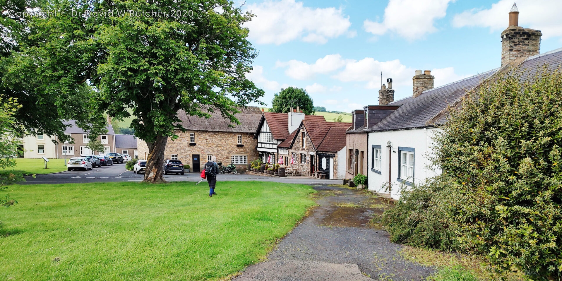
We headed into the main town square and went to the Turks Head for a pint of Black Sheep bitter. Beer is a well known remedy for sore feet and the good thing is you don’t have to rub it in, you just swallow it!
We left the pub and arrived at the Alston House Hotel at 4.50pm. Al had left his car in their car park on Monday – and it was still there!
17.5 miles in 8 hours with 1900 feet ascent 2.7mph average moving speed.
Monday 10th June 2024 Travel Home from Alston
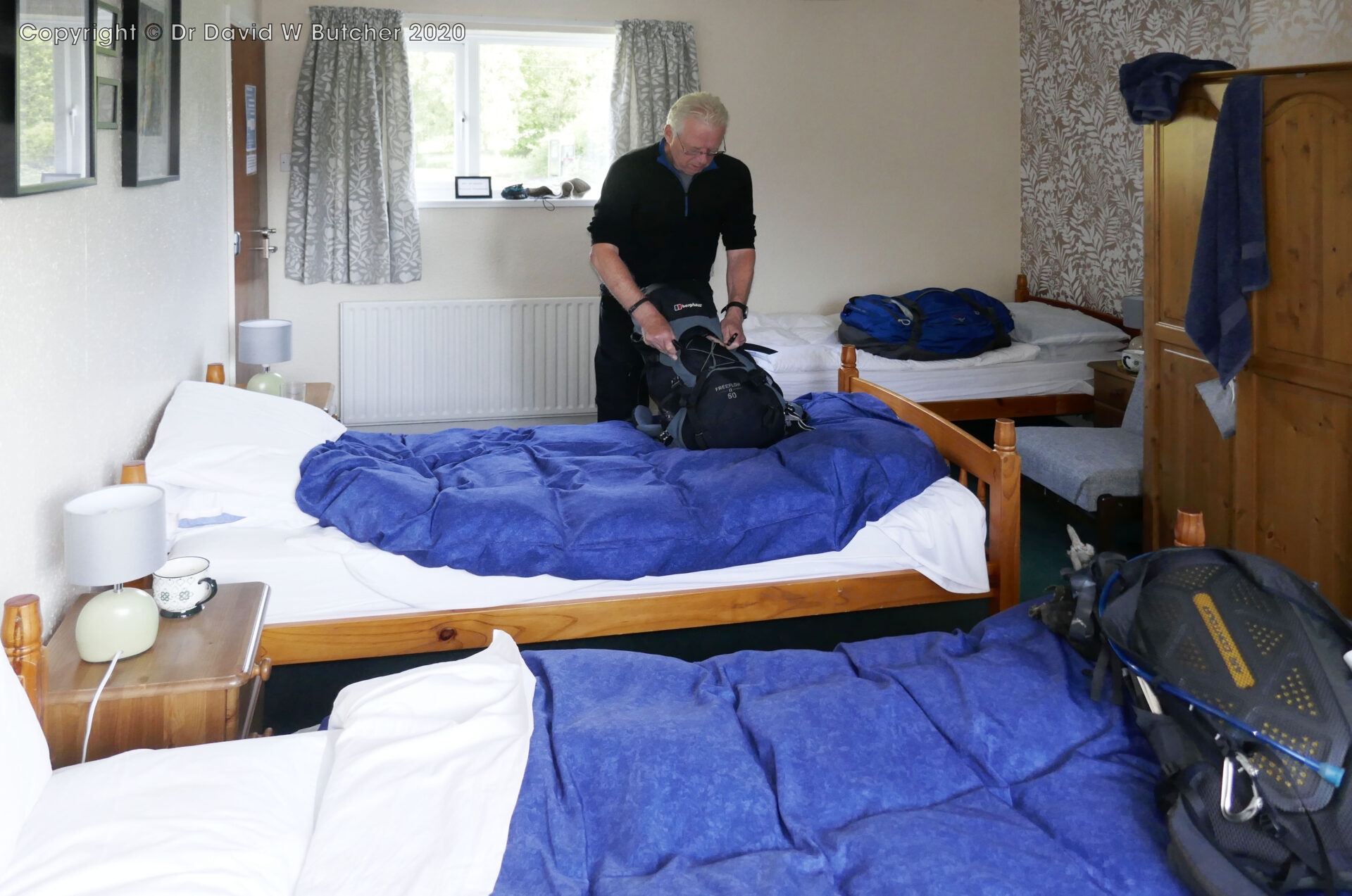
We had a family room with 3 single beds so there was lots of room for the 2 of us. Al had 2 beds – one to sleep in and one to put his bag on. I only needed one, my bag was on the luggage stand! Having a bad back it really helps when I don’t have my bag on the floor.
After a good cooked breakfast we packed up and loaded our bags into Al’s car which was still parked in the hotel car park. Al then drove us back to Tunstead Milton to drop me off. After a bit of a break Al drove back to Gloucester.
Summary
In total we walked 89.4 miles in 6 days from Kirk Yetholm to Alston, including pub and brewery diversions.
In 2025 we return to the Alston House Hotel to start the next leg of the walk to Horton-in-Ribblesdale.
Equipment
Camera
Panasonic Lumix DMC TZ100, a good travel camera as long as you can keep it dry. Al once poured his pint over a previous one and it couldn’t be repaired so I had to replace it. Quite why he wasted perfectly good beer doing that I’ll never know.
On wet days I used my Motorola Edge 20 mobile phone in an Aquapac waterproof case to take a few pictures. All the mobile phones I’ve had take acceptable pictures until you try and zoom in to the subject – then they’re rubbish! That’s why I use the little compact camera rather than just relying on the phone. Being a professional photographer makes me more critical of picture quality than most people I guess?
There are over 150 images in this blog post and every one of them has been edited in Photoshop. They were all cropped, often just top and bottom to remove parts of the image that were distracting or didn’t add anything to the scene. I also set the black and white points and then often adjusted the brightness and contrast. That was pretty much the extent of the picture editing. The colour balance has not been touched and everything that you see was on the original file so they are effectively the views that I saw, nothing has been added. So if you go to the same place these are views that you will see, the lighting and weather may be different but the view will be very similar if not the same.
Maps, Etc
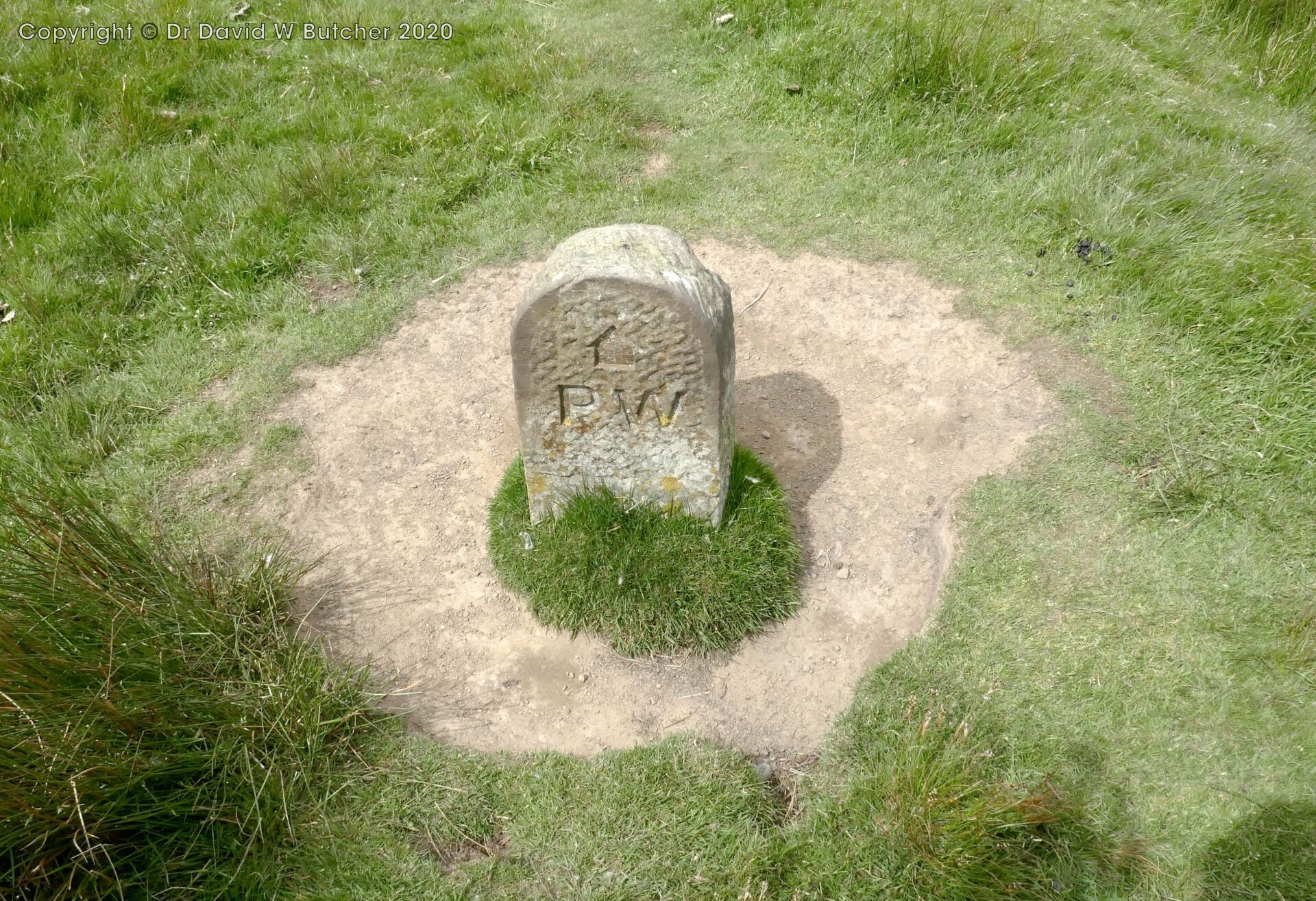
Satmap Active 20 with Ordnance Survey 25k and 50k detailed maps. I programmed the route and uploaded it onto the GPS so route finding was very easy. I used it exclusively in the OS 25k map view for the extra detail of field boundaries and similar helpful features. 50 years ago I had to carry all 10 of the OS 1 inch to 1 mile maps (63.36k) for the entire route in my rucksack. It’s so much easier these days with GPS and luggage transfer so I only carry maps for 1 day!
Harveys Pennine Way North 40k waterproof map. I used this daily to see a larger view than that shown on the GPS screen to pick out the names of the neighbouring hills, etc.
Ordnance Survey 25k maps covering the daily route, just in case we wanted to divert off the narrow area shown on the Harveys map or something happened to the Satmap GPS. I didn’t use these at all but I still always carried them – you never know when you might need them.
Cicerone Guide ‘The Pennine Way’ and OS 1:25k map booklet. The guidebook wasn’t carried but was referred to each evening ready for the next day. 50 years ago we all carried a copy of the Wainwright ‘Pennine Way Companion’ guidebook – the one that pretty much everyone used at that time. I bought mine in 1973 which was 5 years after it was first published and it had already been reprinted 18 times! It was essential as the OS maps didn’t clearly show the route of the Pennine Way. In places the OS maps didn’t show the route at all! The main advantage of the Wainwright guide over the Cicerone guide was that every mile was marked on the hand-drawn maps in the guidebook – this was really helpful, as well as the detailed sketches of features to look out for.
The Cicerone map booklet was used every day to see the way ahead and around us, except when it was raining! The GPS screen is quite small (3×2 inches/7.5x5cm) so having a map for the wider view is useful.
I always carry a compass or two but I didn’t need to use either. It’s very different now with GPS technology compared to 20 years ago. For example, when I did the Munro’s from 1984 to 1996 I had to carry a map and compass in my hand all the time and refer to them almost continuously in bad weather or on untracked mountainside. Now I just glance at the GPS hanging from my rucksack strap which clearly shows the planned route superimposed on an OS 25k map and my exact position. The GPS is also completely weatherproof and has an excellent battery life of well over 20 hours.
Anemometer
Kestrel 2000 pocket anemometer. It gives wind speed, temperature and wind chill. Always useful to carry if expecting windy or very cold weather.
You might also like
 Get some free printing and developing tips, tutorials and information from the expert over at Darkroom Dave!