The forecast was for snow on high ground a couple of days ago but in fact it stayed dry all day but with a cold wind on top.
We left Patterdale at 9am heading for Threlkeld via the Helvellyn ridge.
From Patterdale we walked along the shore of Ullswater.
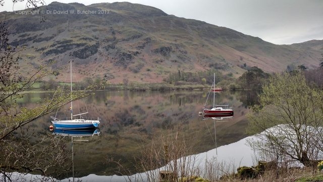
Ullswater reflections at Glenridding
Then from Glenridding we headed up the track to the old mine workings and on towards Sticks Pass.
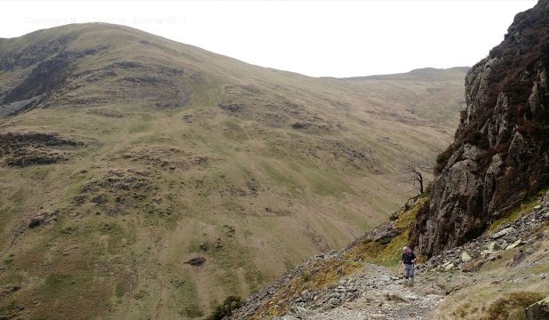
Above Glenridding
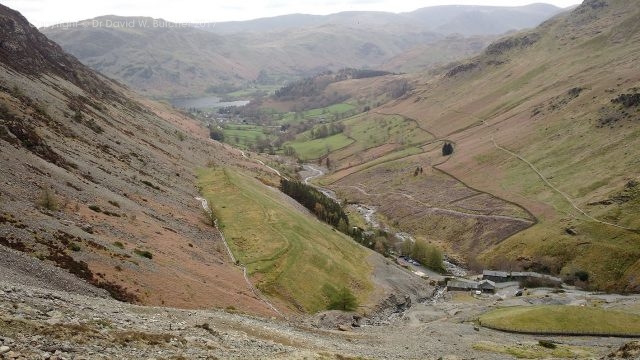
Old mine workings above Glenridding
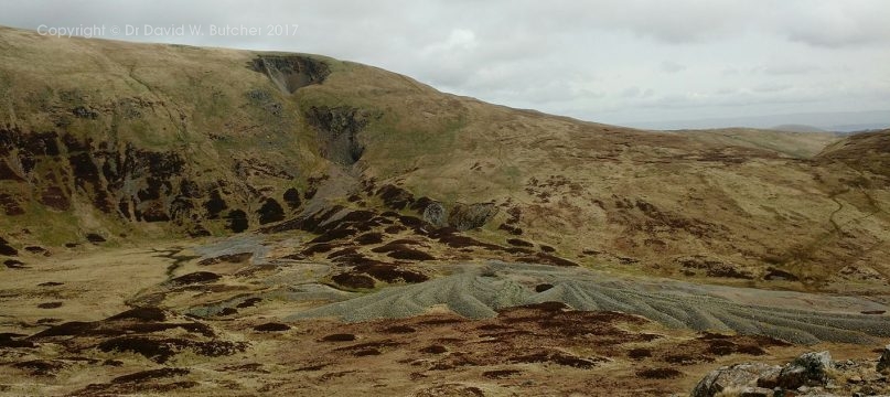
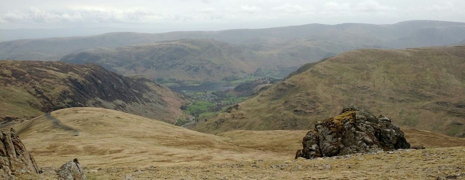
Above Glenridding
Once above the steep section above the old mine workings we followed a good track to our left up the flank of Raise. I thought this would give us better views of the surrounding peaks and ridges than the path to Sticks Pass.
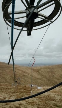
Ski Tow on Raise near Sticks Pass
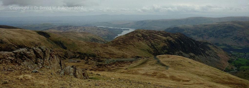
Ullswater from Raise
View from Raise lower slopes
Helvellyn and Catstyecam from Raise lower slopes
From Raise we had good views in all directions although the light wasn’t that good for photographs.
Helvellyn from Raise
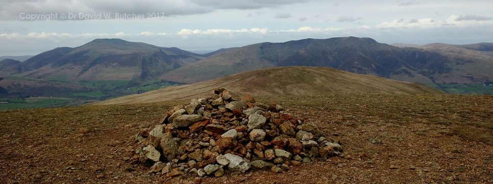
Lots of ups and downs on the ridge, including another 4 Wainwright’s.
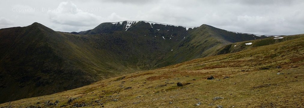
Skiddaw from the ridge
Skiddaw and Blencathra from the ridge
The light slightly improved as we moved along the ridge but not that much.
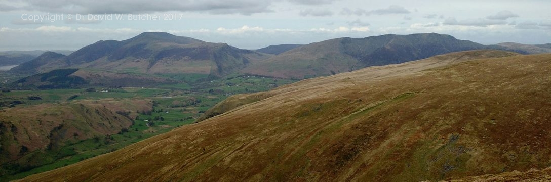
Skiddaw
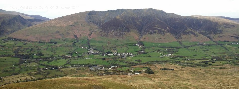
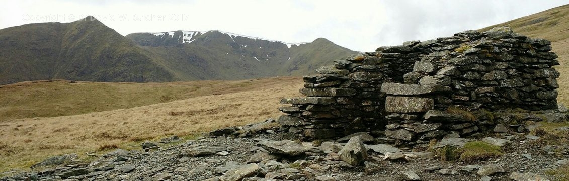
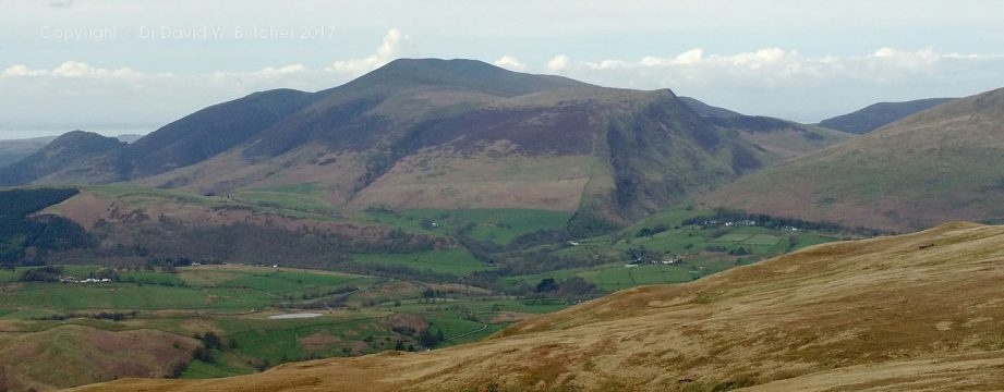
Blencathra from Clough Head
From Clough Head it was a steep descent to the Old Coach Road, across the common to Threlkeld and a celebratory Snecklifter or two at the Horse and Farrier to finish.
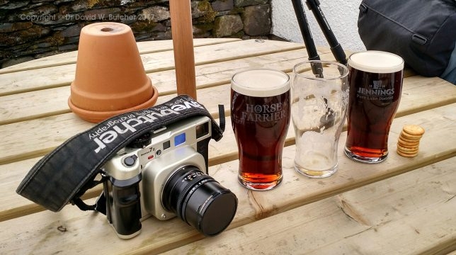
Threlkeld Horse and Farrier. The End.
In total it was about 72 miles in 6 days with 15 Wainwright’s so lots of ascent.
I took 4 rolls of 120 Ilford 400 delta film making 40 negatives in total. Shame about the light or it could have been so much more.
Thanks go to my wife Jan for making all the bookings and Suzi’z Taxi from Keswick who moved our bags each day so that we just carried light day sacks.
 Get some free printing and developing tips, tutorials and information from the expert over at Darkroom Dave!
Leave a reply